-
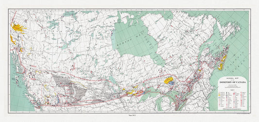
Canada. Department of Interior et Chalifour, Map Mineral map of the Dominion of Canada, 1915 , map on heavy cotton canvas, 22x27" approx.
Regular price $45.00 CADRegular price -
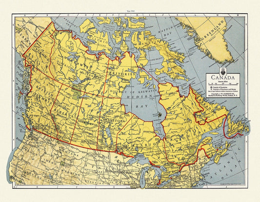
J.W. Clement Co., Canada, 1943, map on heavy cotton canvas, 22x27" approx.
Regular price $45.00 CADRegular price -
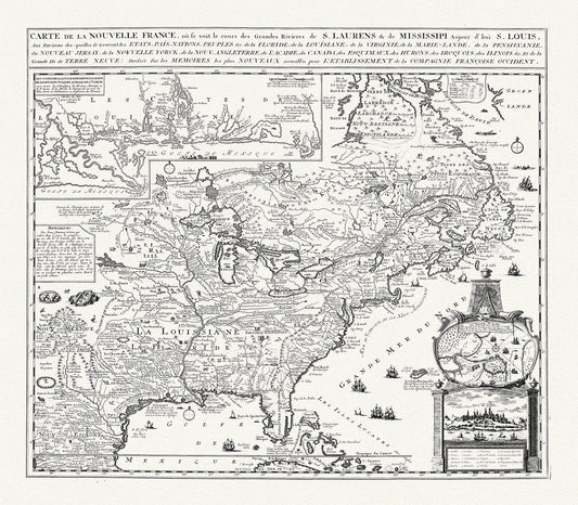
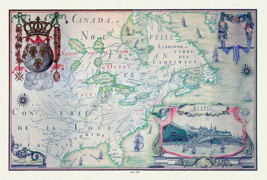
Chatelain, Carte de la Nouvelle France, map on heavy cotton canvas, 20 x 27" approx.
Regular price $45.00 CADRegular price -
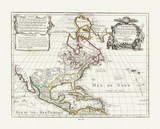
Delisle, (Guillaume de, 1675-1726) , L'Amerique Septentrionale, 1705 , map on heavy cotton canvas, 20 x 25" approx.
Regular price $45.00 CADRegular price -
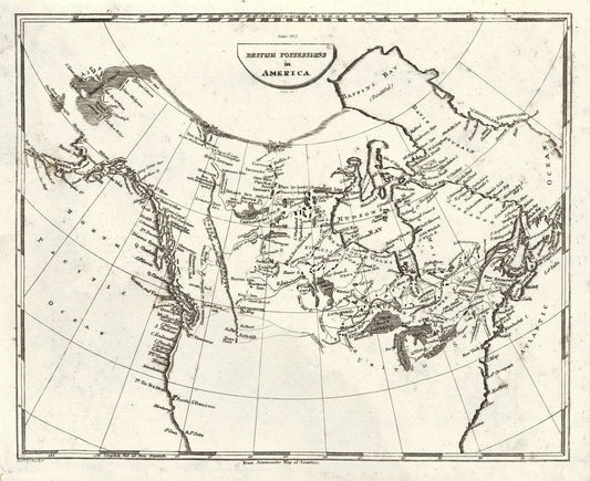
Arrowsmith, British possessions in America, 1812, map on heavy cotton canvas, 20 x 25" approx.
Regular price $45.00 CADRegular price -
Franquelin-Carte de l'Amerique Septentrionnale, hydrographe du roy, à Québec en Canada, 1688, map on heavy cotton canvas, 20 x 25" approx.
Regular price $45.00 CADRegular price -
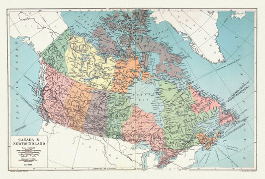

Geographia Map Company, Canada and Newfoundland, 1935 , map on heavy cotton canvas, 20 x 25" approx.
Regular price $45.00 CADRegular price -
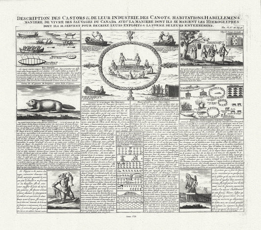
Henri Chatelain, Description des Castors & de Leur Industrie de Canots Habitations Habillemens, 1720, canvas 22x25"
Regular price $45.00 CADRegular price -
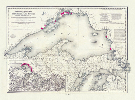
Colton, Preliminary map to a geological survey of the north shore of Lake Superior, Ontario, 1871 ,map on cotton canvas, 20 x 25" approx.
Regular price $45.00 CADRegular price -
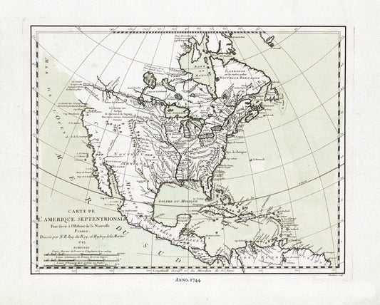
Bellin, Carte de L'Amerique Septentrionale, 1744, map on heavy cotton canvas, 22x27" approx.
Regular price $45.00 CADRegular price -
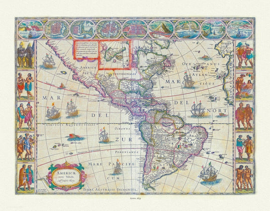
Blaue, Americae Nova Tabula, 1635, map on heavy cotton canvas, 22x27" approx.
Regular price $45.00 CADRegular price -
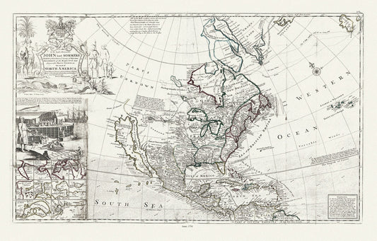
Bowles, This map of North America, according to ye newest and most exact observations, 1712 , map on heavy cotton canvas, 22x27" approx.
Regular price $45.00 CADRegular price -
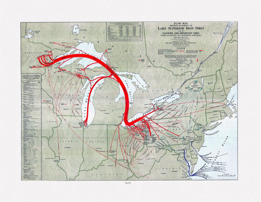
Flow map showing movement of Lake Superior iron ores with locations of consuming furnaces, 1951 , map on heavy cotton canvas, 22x27" approx.
Regular price $45.00 CADRegular price -
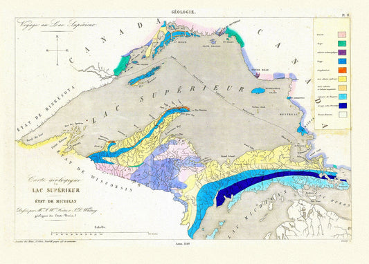
Fostes et Whitney, Carte geologique du Lac Superieur, 1849 , map on heavy cotton canvas, 22x27" approx.
Regular price $45.00 CADRegular price -
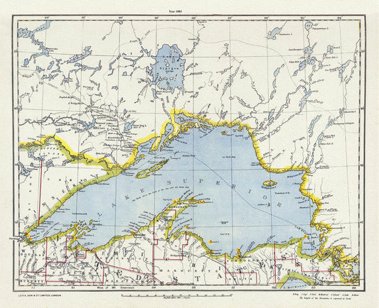
Letts, North Shore, Lake Superior, Canada, 1883 , map on heavy cotton canvas, 22x27" approx.
Regular price $45.00 CADRegular price -
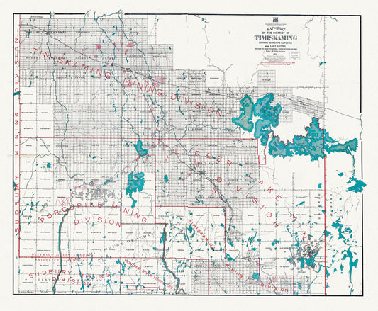
Map of part of the District of Timiskaming showing Lake Abitibi and along the line of the National Transcontinental Railway, 1917, 22x27"
Regular price $45.00 CADRegular price -
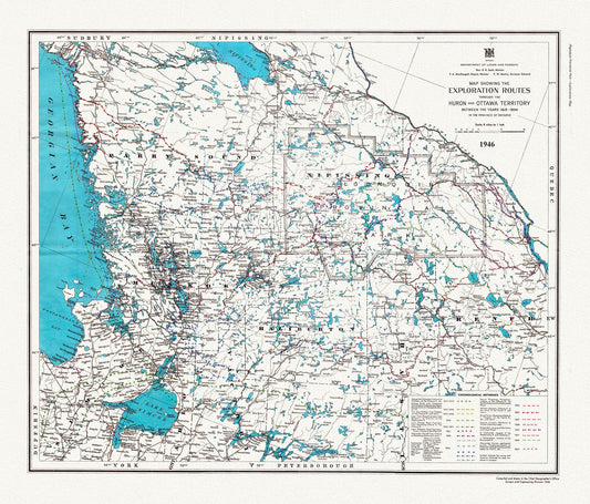
Exploration routes through the Huron and Ottawa Territory between the years 1615 - 1854 in the province of Ontario, 1946, canvas, 22x27"
Regular price $45.00 CADRegular price -
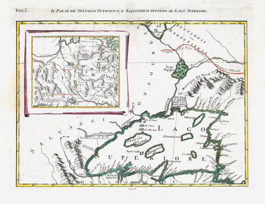
Zatta, Zuiliani, Novelli et Pitteri-Il Paese de' Selvaggi Outauacesi, e Kilistinesi Intorno al Lago Superiore, 1778, on cotton canvas,22x27"
Regular price $45.00 CADRegular price -
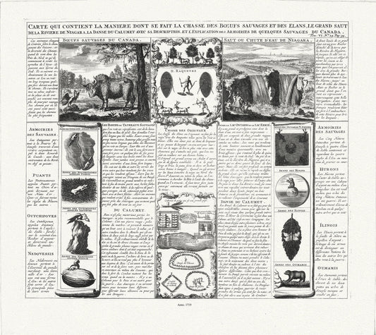
Carte qui contient la maniere dont se fait la chasse des boeufs sauvages, 1719
Regular price $45.00 CADRegular price -
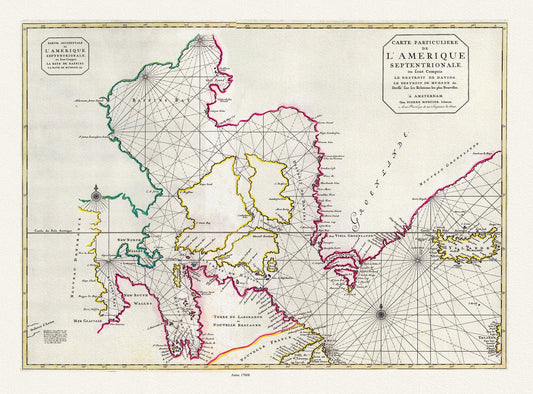
Jaillot, Mortier et Sanson, Carte Particuliere de l'Amerique Septentrionale, 1708, map on heavy cotton canvas, 20 x 25" approx.
Regular price $45.00 CADRegular price -
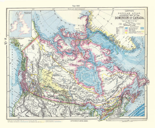
Letts, Dominion of Canada, 1883, map on heavy cotton canvas, 20 x 25" approx.
Regular price $45.00 CADRegular price -
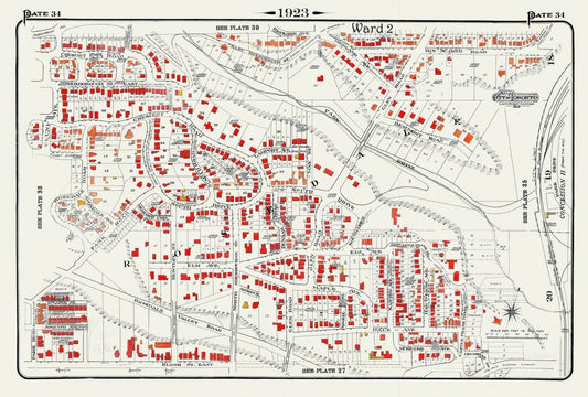
Plate 34, Toronto Uptown, Rosedale, 1923, Map on heavy cotton canvas, 18x27in. approx.
Regular price $45.00 CADRegular price -
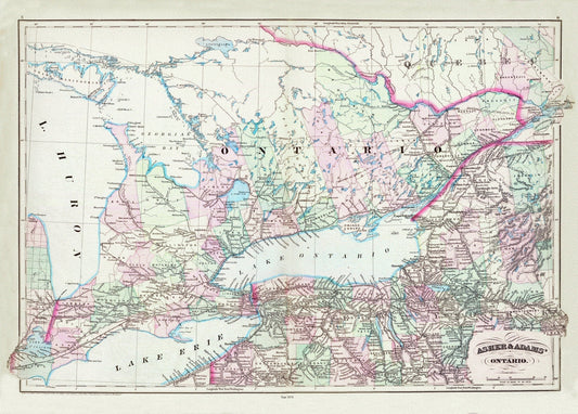
Asher & Adams, Ontario, 1872 , map on heavy cotton canvas, 22x27" approx.
Regular price $45.00 CADRegular price -
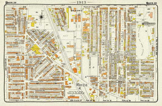
Plate 59, TorontoWest, Roncesvalles, Brockton North, 1913, map on heavy cotton canvas, 20 x 30" or 50 x 75cm. approx.
Regular price $45.00 CADRegular price