-
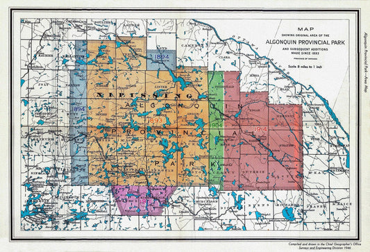
1946 Map of Algonquin Park, Showing Subsequent Additions since 1893, map on heavy cotton canvas, 22x27" approx.
Regular price $45.00 CADRegular price -
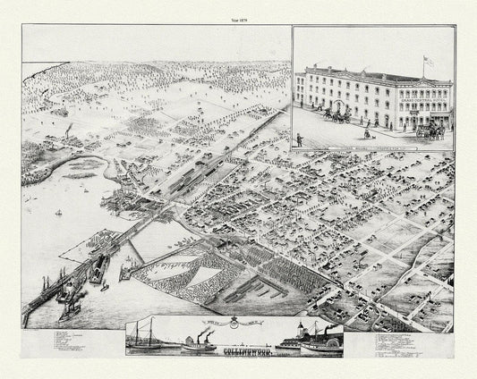
A Bird's eye view of Collingwood, Ontario, Brosius auth., 1879, map on durable cotton canvas, 50 x 70 cm or 20x25" approx.
Regular price $45.00 CADRegular price -
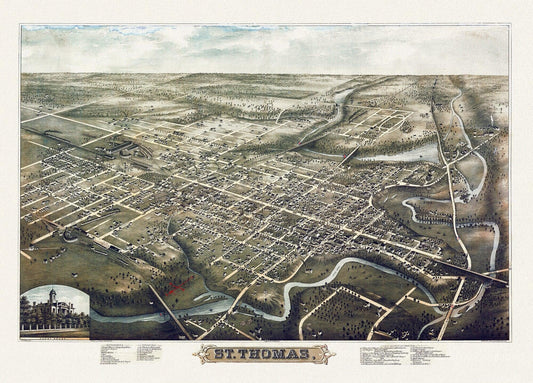
A Birds eye View of St. Thomas, Ontario, 1896, on heavy cotton canvas, 22x27" approx.
Regular price $45.00 CADRegular price -
A chart of Canada River from ye island of Anticosty as far up as Quebeck, ye islands, locks, shoals, & soundings as they appear at low water.Johnston.1746
Regular price $45.00 CADRegular price -
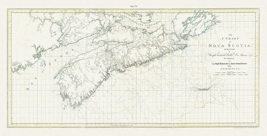
A chart of Nova Scotia, 1775, Des Barres auth.
Regular price $45.00 CADRegular price -
A chart of Nova Scotia, 1775, Des Barres auth., map on durable cotton canvas, 50 x 90 cm, 20 x 30" approx.
Regular price $45.00 CADRegular price -
A Chart of the Gulf of St. Laurence.Faden.1777
Regular price $475.00 CADRegular price -
A chart of the island of Cape Breton, Nova Scotia,1781, Des Barres auth.
Regular price $45.00 CADRegular price -
A chart of the island of Cape Breton, Nova Scotia,1781, Des Barres auth. Ver. BWI
Regular price $45.00 CADRegular price -
A Chart of the North-American coast, for the navigation between Halifax and Philadelphia,1834, Laurie et Whittle, 1834
Regular price $45.00 CADRegular price -
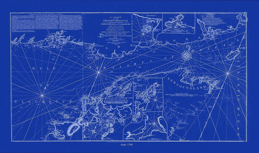
A chart of the Straights of Bell Isle with part of the coast of Newfoundland and Labradore, 1744, Cyanotype Ver. II
Regular price $45.00 CADRegular price -
A chart of the Straights of Bell Isle with part of the coast of Newfoundland and Labradore, 1744, Cyanotype Ver. II, canvas, 50 x 70 cm
Regular price $45.00 CADRegular price -
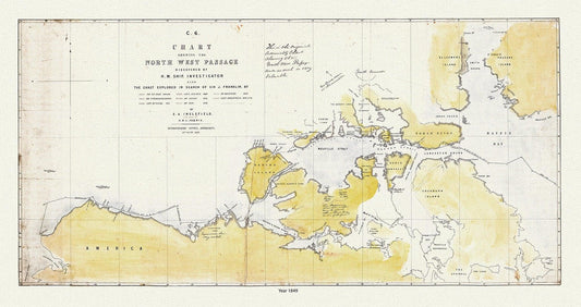
A Chart Shewing the North West Passage discovered by H.M. Ship Investigator also the coast explored in search of Sir J. Franklin , 20x25"
Regular price $45.00 CADRegular price -
A Chart Shewing the North West Passage discovered by H.M. Ship Investigator the coast explored in search of Franklin, 1848 & 41 Ver. II
Regular price $45.00 CADRegular price -
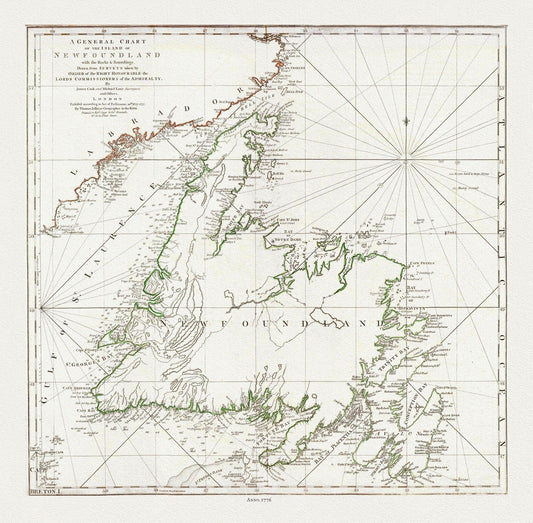
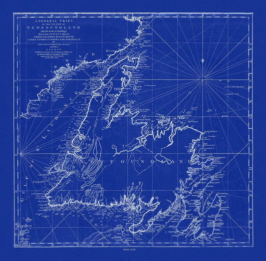
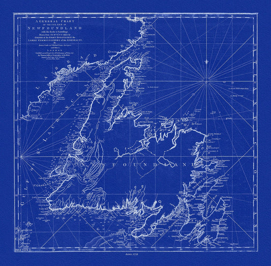
A General Chart Of The Island Of Newfoundland, 1776, Author: Jefferys, on heavy cotton canvas, 20x24" approx.
Regular price $45.00 CADRegular price -
A General Chart Of The Island Of Newfoundland, 1776,Jefferys, auth., Cyanotype, map on durable cotton canvas, 50 x 70 cm, 20 x 25" approx.
Regular price $45.00 CADRegular price -
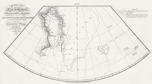
A General Chart Shewing the Track and Discoveries of H.M. Ships Isabella & Alexander to Davis's Straits and Baffin's Bay.Ross.1819
Regular price $45.00 CADRegular price -
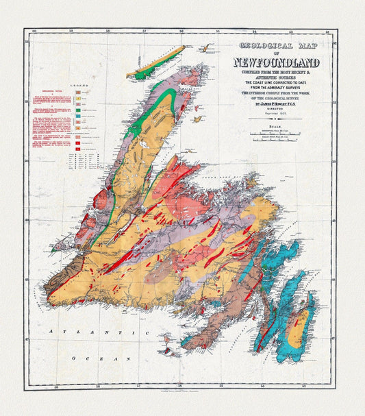
A Geological Map of Newfoundland, dated 1921, on heavy, clear coated, natural cotton canvas, approx. 20x24"
Regular price $45.00 CADRegular price -
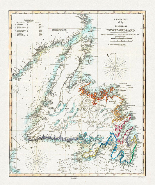
A Hand Map of the Island of Newfoundland, Findlay auth.,1859
Regular price $45.00 CADRegular price -
A Hand Map of the Island of Newfoundland, Findlay auth.,1859 , map on heavy cotton canvas, 45 x 65 cm, 18 x 24" approx.
Regular price $45.00 CADRegular price -
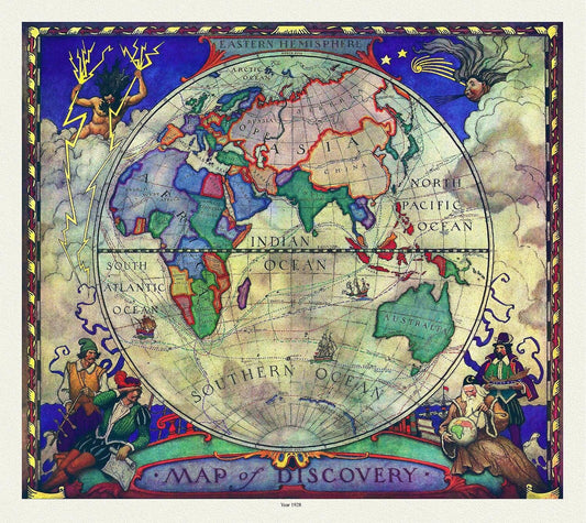
A Map of Discovery, Eastern Hemisphere, 1928, map on heavy cotton canvas, 20x25" approx.
Regular price $45.00 CADRegular price -
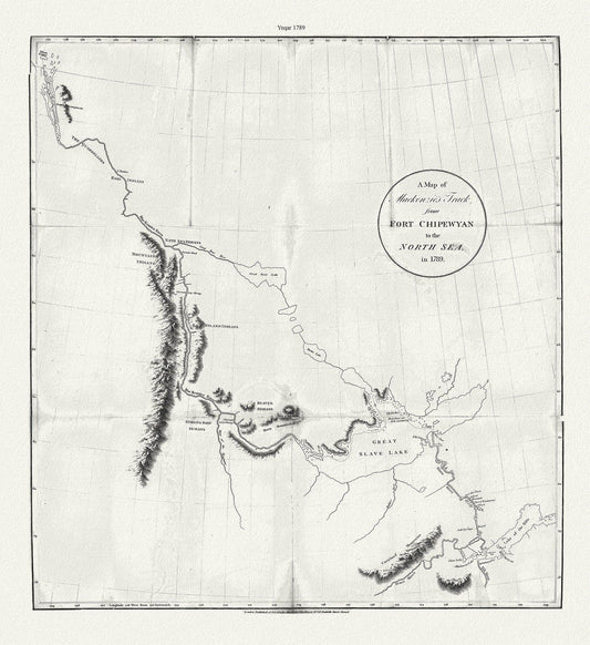
A map of Mackenzie's track from Fort Chipewyan to the north sea in 1789, canvas, 50 x 70 cm or 20x25" approx.
Regular price $45.00 CADRegular price -
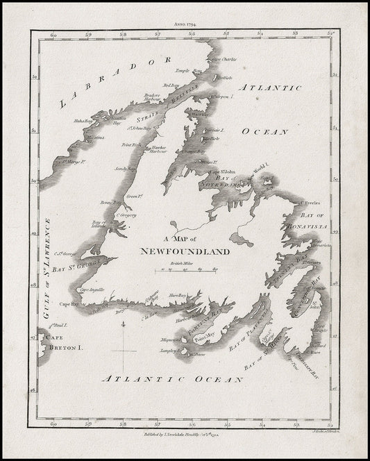
A Map of Newfoundland, Stockdale auth., 1794, map on heavy cotton canvas, 50 x 70 cm, 20 x 25" approx.
Regular price $45.00 CADRegular price -
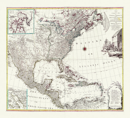
A map of North America with the West India Islands, Divided according to the Treaty of Peace, concluded at Paris Jan., 1783,canvas 22x27"
Regular price $45.00 CADRegular price