-
Plan of part of the province of Manitoba showing the water powers on the Winnipeg River,1908, map , 50 x 70 cm, 20 x 25" approx.
Regular price $45.00 CADRegular price -
Rand McNally and Company, Manitobe ,1903 , map on durable cotton canvas, 50 x 70 cm, 20 x 25" approx.
Regular price $45.00 CADRegular price -
Manitoba, Rand, McNally & Co., 1890, map on durable cotton canvas, 50 x 70 cm, 20 x 25" approx.
Regular price $45.00 CADRegular price -
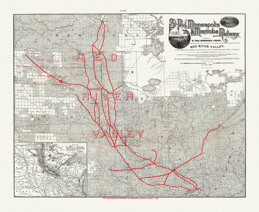
St. Paul, Minneapolis & Manitoba Railway, 1886 , map on durable cotton canvas, 50 x 70 cm, 20 x 25" approx.
Regular price $45.00 CADRegular price -
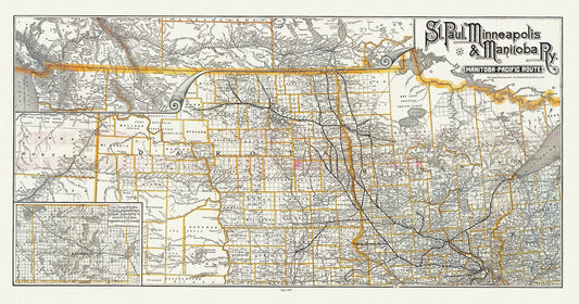
St. Paul, Minneapolis & Manitoba Railway, 1887, map on durable cotton canvas, 50 x 70 cm, 20 x 25" approx.
Regular price $45.00 CADRegular price -
Manitoba, 1904, Stanford auth.,, map on durable cotton canvas, 50 x 70 cm, 20 x 25" approx.
Regular price $45.00 CADRegular price -
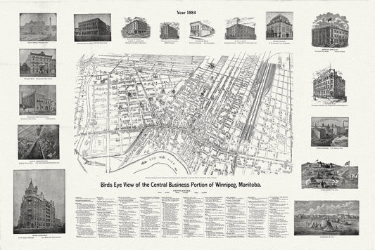
Winnipeg, A Bird's Eye View of the Central Business Portion, 1884 , map on durable cotton canvas, 50 x 70 cm, 20 x 25" approx.
Regular price $45.00 CADRegular price -
Manitoba and Saskatchewan, Department of Interior, Origin of the population, 1911 , map on durable canvas, 50 x 70 cm, 20 x 25" approx.
Regular price $45.00 CADRegular price -
Plan of part of the province of Manitoba showing the water powers on the Winnipeg River, 1908 , map on canvas, 50 x 70 cm, 20 x 25" approx.
Regular price $45.00 CADRegular price -
Map of South Western Part of the North West Territories shewing grazing country adjacent to the Rocky Mountains,1881, canvas, 20 x 25"
Regular price $45.00 CADRegular price -
Map of the Yukon Territory to illustrate the summary reports of R.G. McConnell, Keele and Camsell, 1907, map on canvas, 20 x 25" approx.
Regular price $45.00 CADRegular price -
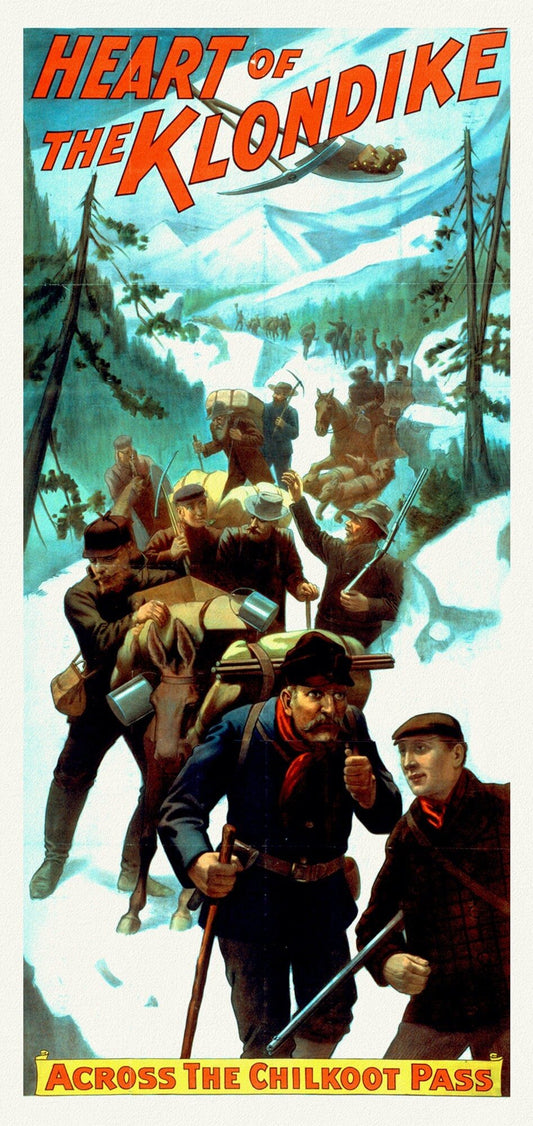
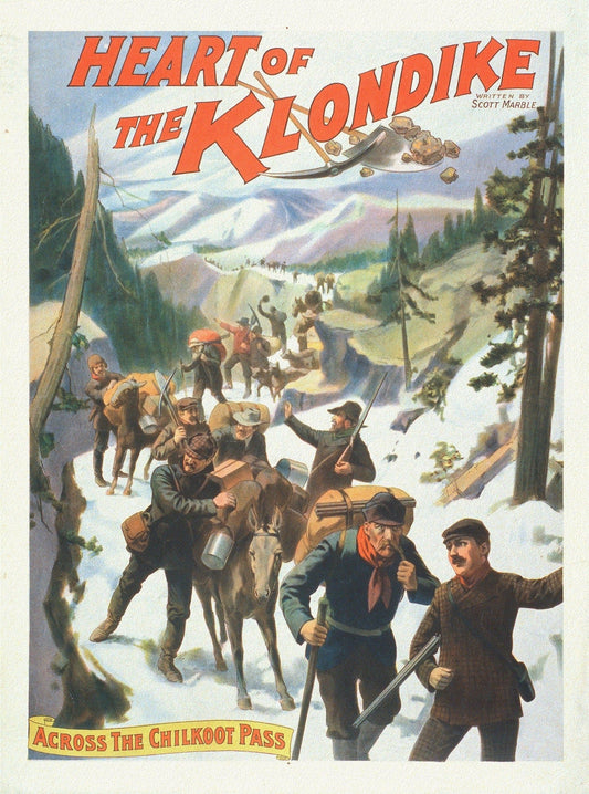
The Heart of the Klondike, Across the Chilkoot Pass, A Book Ver. II, vintage print on canvas, 50 x 70 cm, 20 x 25" approx.
Regular price $45.00 CADRegular price -
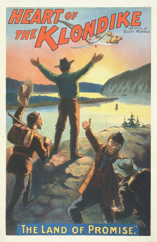
The Heart of the Klondike, The Land of Promise, A Book, vintage print on canvas, 50 x 70 cm, 20 x 25" approx.
Regular price $45.00 CADRegular price -
The Heart of the Klondike,Across the Chilkoot Pass, A Book, vintage print on canvas, 50 x 70 cm, 20 x 25" approx.
Regular price $45.00 CADRegular price -
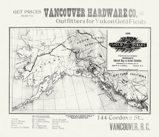
Yukon Gold Fields, 1898
Regular price $45.00 CADRegular price -
Map of the Yukon Territory, 1919, map on durable cotton canvas, 50 x 70 cm, 20 x 25" approx.
Regular price $45.00 CADRegular price -
Mackenzie, 1924, Rand McNally & Company, Commercial Atlas, , map on durable cotton canvas, 50 x 70 cm, 20 x 25" approx.
Regular price $45.00 CADRegular price -
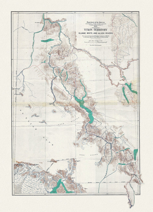
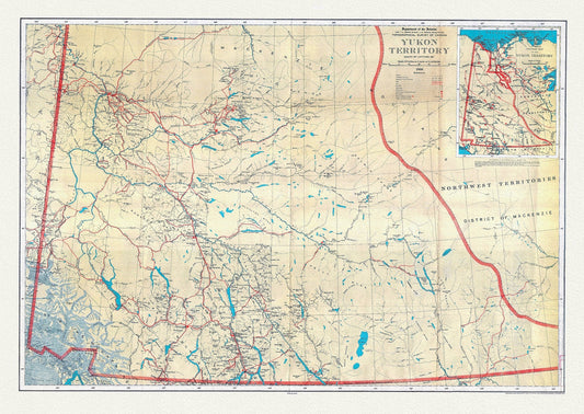
Yukon Territory, 1905, map on durable cotton canvas, 50 x 70 cm, 20 x 25" approx.
Regular price $45.00 CADRegular price -
Yukon Territory, South of Latitude 65 degrees ,1936, map on durable cotton canvas, 50 x 70 cm, 20 x 25" approx.
Regular price $45.00 CADRegular price -
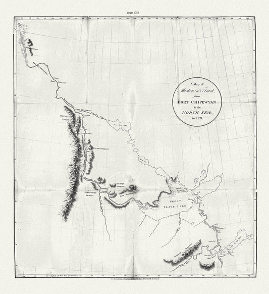
A map of Mackenzie's track from Fort Chipewyan to the north sea in 1789, canvas, 50 x 70 cm or 20x25" approx.
Regular price $45.00 CADRegular price -
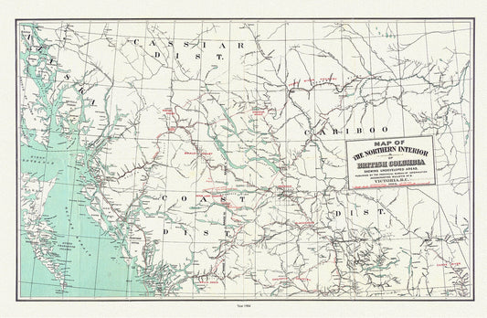
Map of the northern interior of British Columbia shewing undeveloped areas, 1904, map on durable cotton canvas, 50 x 70 cm, 20 x 25" approx.
Regular price $45.00 CADRegular price -
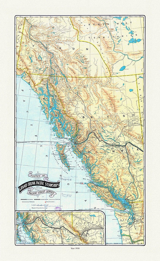
Routes of Grand Trunk Pacific Steamships Pacific coast service, Poole Bros. auths., 1910, map on durable cotton canvas, 20 x 25" approx.
Regular price $45.00 CADRegular price -
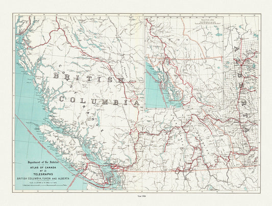
British Columbia, Yukon and Alberta, Telegraphs, 1906, map on durable cotton canvas, 50 x 70 cm, 20 x 25" approx.
Regular price $45.00 CADRegular price -
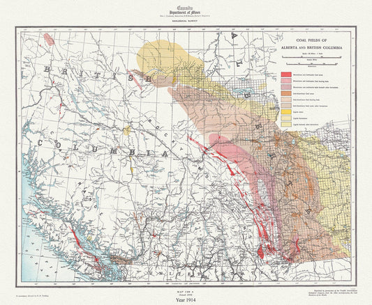
Coal fields of Alberta and British Columbia, 1914, map on durable cotton canvas, 50 x 70 cm, 20 x 25" approx.
Regular price $45.00 CADRegular price