-
Regina, Saskatchewan, A Modern Map on heavy cotton canvas, 45 x 65 cm, 18 x 24" approx.
Regular price $45.00 CADRegular price -
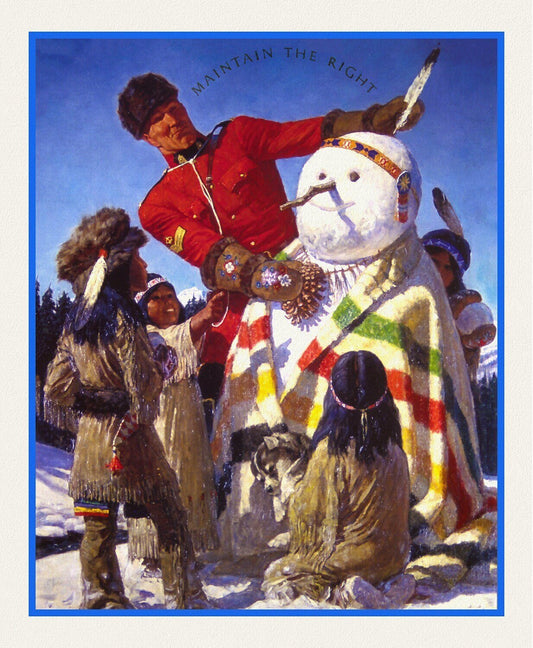
RCMP, Maintain The Right, Ver. VI, poster on heavy cotton canvas, 50 x 70 cm, 20 x 25" approx.
Regular price $45.00 CADRegular price -
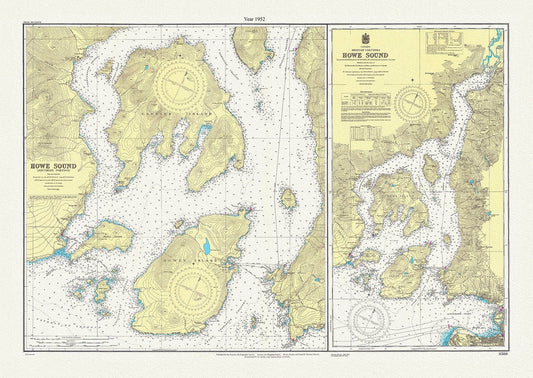
Howe Sound, British Columbia, A Topographical Map,1952
Regular price $45.00 CADRegular price -
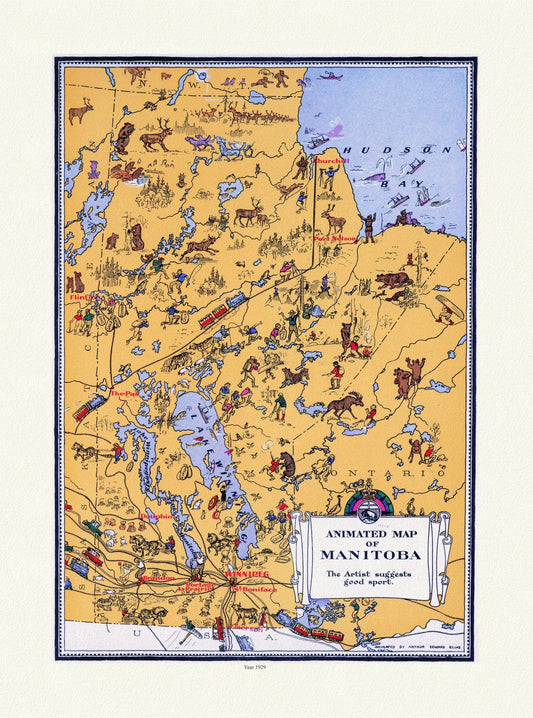
An Animated Map of Manitoba, 1929, on heavy cotton canvas, 22x27" approx.
Regular price $45.00 CADRegular price -
Map of Manitoba Canada, 1917, map on heavy cotton canvas, 22x27" approx.
Regular price $45.00 CADRegular price -
North West Mounted Police ( Royal Canadian Mounted Police), 1966, Poster on Heavy Cotton Canvas, Approx. 22x27"
Regular price $45.00 CADRegular price -
RCMP, Maintain The Right, Ver. IV, poster on heavy cotton canvas, 50 x 70 cm, 20 x 25" approx.
Regular price $45.00 CADRegular price -
E Canadian Pacific, Ready Made Farms in Western Canada, 1920, travel poster on heavy cotton canvas, 50 x 70 cm, 20 x 25" approx.
Regular price $45.00 CADRegular price -
Cascade Mountain, The Canadian Rockies, 1900, Vintage Photograph on canvas, 20 x 24" approx
Regular price $45.00 CADRegular price -
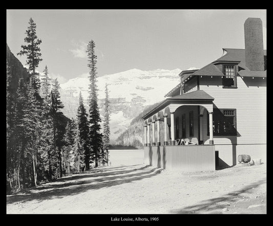
Lake Louise, Alberta, 1905, Vintage Photograph on Canvas, 50x 70 cm, 20 x 25" approx.
Regular price $45.00 CADRegular price -
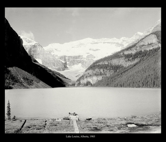
Lake Louise, Alberta, 1905 , Vintage Photograph on canvas, 50 x 70 cm, 20 x 25" approx.
Regular price $45.00 CADRegular price -
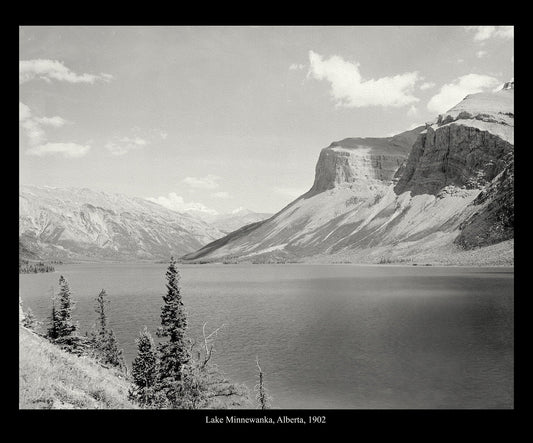
Lake Minnewanka, Alberta, 1902, vintage photograph reprinted on durable cotton canvas, 50 x 70 cm, 20 x 25" approx.
Regular price $45.00 CADRegular price -
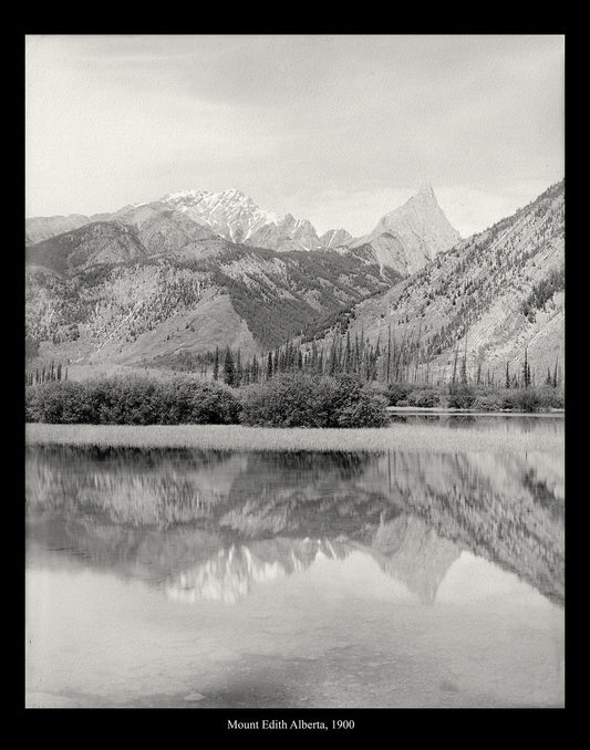
Mount Edith, Alberta, Canada, 1900, vintage photograph reprinted on durable cotton canvas, 50 x 70 cm, 20 x 25" approx.
Regular price $45.00 CADRegular price -
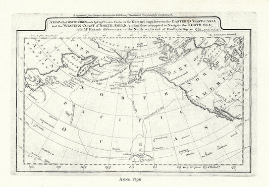
Captain Cook's Voyages in the Pacific Northwest, map on heavy cotton canvas, 50 x 70cm, 20 x 25" approx.
Regular price $45.00 CADRegular price -
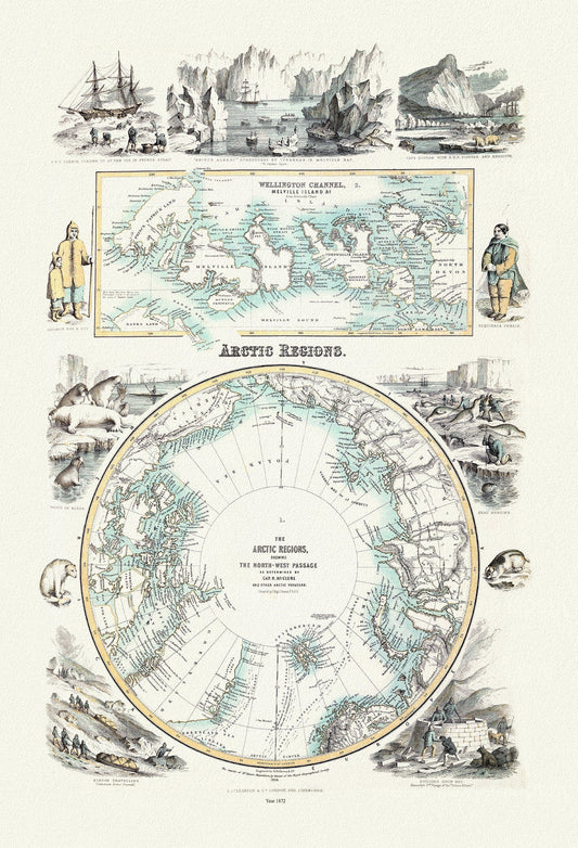
Fullarton, Arctic Regions, 1872, map on heavy cotton canvas, 22x27" approx.
Regular price $45.00 CADRegular price -
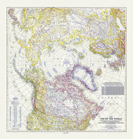
The Top of the World, National Geographic Society, 1949 , map on heavy cotton canvas, 50 x 70 cm, 20 x 25" approx.
Regular price $45.00 CADRegular price -
Morse et Colby, Chart Showing the Recent Search for the North-West Passage, 1856 , map on heavy cotton canvas, 22x27" approx.
Regular price $45.00 CADRegular price -
Northern America. 1857, map on heavy cotton canvas, 20 x 25" approx.
Regular price $45.00 CADRegular price -
Manitoba, Auto road map, 1926, map on durable cotton canvas, 50 x 70 cm, 20 x 25" approx.
Regular price $45.00 CADRegular price -
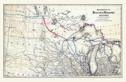
Colton, Route of the Duluth & Winnipeg Railroad, 1881, map on durable cotton canvas, 50 x 70 cm, 20 x 25" approx.
Regular price $45.00 CADRegular price -
Manitoba, 1901, Cram auth.,, map on durable cotton canvas, 50 x 70 cm, 20 x 25" approx.
Regular price $45.00 CADRegular price -
Map of part of Keewatin shewing Dominion land surveys, 1876 [south Kenora district], map on durable canvas, 50 x 70 cm, 20 x 25" approx.
Regular price $45.00 CADRegular price -
New railway, post office and municipal map of Manitoba compiled from the latest government surveys and other official sources.1900
Regular price $45.00 CADRegular price -
Manitoba shewing provincial government lands for sale, 1907 , map on durable cotton canvas, 50 x 70 cm, 20 x 25" approx.
Regular price $45.00 CADRegular price


![Map of part of Keewatin shewing Dominion land surveys, 1876 [south Kenora district], map on durable canvas, 50 x 70 cm, 20 x 25" approx. - The Map Chest](http://themapchest.ca/cdn/shop/products/map-of-part-of-keewatin-shewing-dominion-land-surveys-1876-south-kenora-district-map-on-durable-canvas-50-x-70-cm-20-x-25-approx-5878013.jpg?v=1759947537&width=533)


