-
Map of America showing MacKenzie's Route from Montreal to Ft. Chepewyan in 1793, map on durable cotton canvas, 50 x 70 cm, 20 x 25" approx.
Regular price $45.00 CADRegular price -
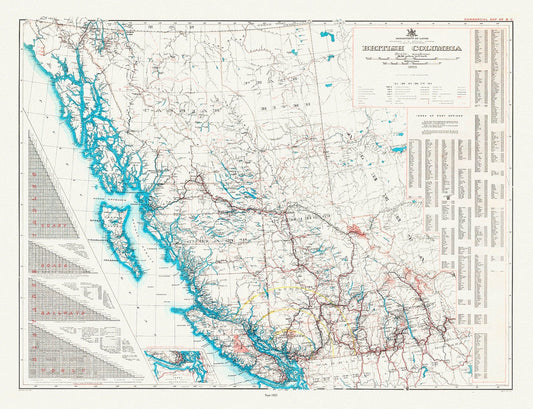
British Columbia, Cummins auth., 1925 , map on heavy cotton canvas, 45 x 65 cm, 18 x 24" approx.
Regular price $45.00 CADRegular price -
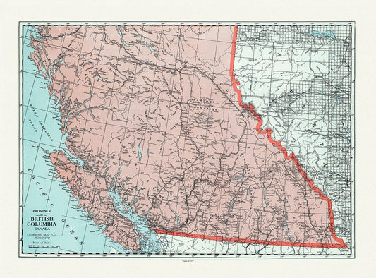
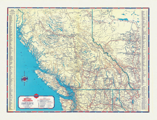
British Columbia, A Commercial Map, 1923, map on heavy cotton canvas, 45 x 65 cm, 18 x 24" approx.
Regular price $45.00 CADRegular price -
British Columbia, Cram auth., 1889, map on heavy cotton canvas, 45 x 65 cm, 18 x 24" approx.
Regular price $45.00 CADRegular price -
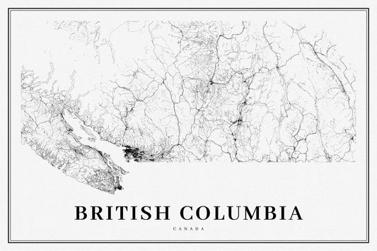
British Columbia, Southern Part, A Modern Map, map on heavy cotton canvas, 45 x 65 cm, 18 x 24" approx.
Regular price $45.00 CADRegular price -
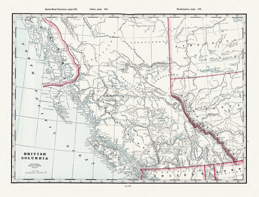
Province of British Columbia, 1893 , map on heavy cotton canvas, 45 x 65 cm, 18 x 24" approx.
Regular price $45.00 CADRegular price -
Avro Arrow Canada, Aviation Poster, on heavy cotton canvas, 20 x 27" approx.
Regular price $45.00 CADRegular price -
A Road Map of British Columbia, 1937
Regular price $45.00 CADRegular price -
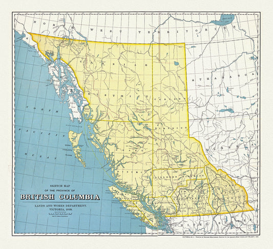
British Columbia, A Sketch Map, 1899, map on heavy cotton canvas, 50 x 70cm, 20 x 25" approx.
Regular price $45.00 CADRegular price -
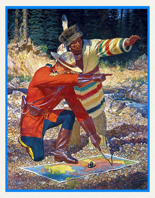
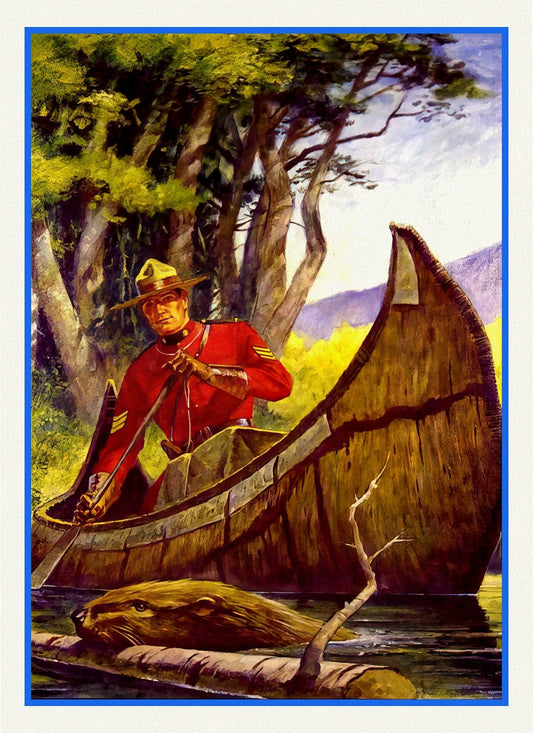
RCMP, Maintain The Right, Ver. X
Regular price $45.00 CADRegular price -
RCMP, Maintain The Right, Ver. IX , vintage poster on heavy cotton canvas, 50 x 70 cm, 20 x 25" approx.
Regular price $45.00 CADRegular price -
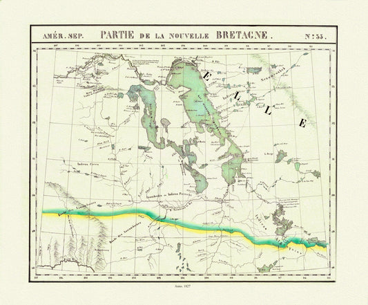
Vandermaelen, Partie, Nouvelle Bretagne (Manitoba, Lake Winnipeg), 1827 , map on heavy cotton canvas, 22x27" approx.
Regular price $45.00 CADRegular price -
Jaillot, Le Canada ou Partie De La Nouvelle France Dans l'Amerique Septentrionale, 1696 , map on heavy cotton canvas, 22x27" approx.
Regular price $45.00 CADRegular price -
Jaillot, Mortier et Sanson, Carte Particuliere de l'Amerique Septentrionale, 1708, map on heavy cotton canvas, 22x27" approx.
Regular price $45.00 CADRegular price -
Rand McNally and Company, Alberta, Saskatchewan, 1897, map on heavy cotton canvas, 22x27" approx.
Regular price $45.00 CADRegular price -
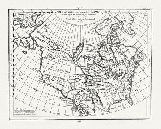
Vaugondy et Diderot, Carte des parties nord et ouest de L'Amerique, 1772 , map on heavy cotton canvas, 22x27" approx.
Regular price $45.00 CADRegular price -

Kohl et Soulard, The Upper Mississippi and Missouri, 1795, map on heavy cotton canvas, 22x27" approx
Regular price $45.00 CADRegular price -
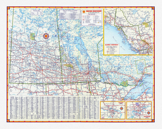
Shell Oil Company-Manitoba, Saskatchewan, Alaska Highway, Calgary, Edmonton, 1956, map on heavy cotton canvas, 22x27" approx.
Regular price $45.00 CADRegular price -
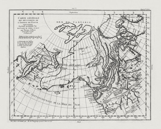
Vaugondy, Carte Générale des Découvertes de l'Amiral de Fonte (Northwest Passage), 1772, map on heavy cotton canvas, 22x27" approx.
Regular price $45.00 CADRegular price -
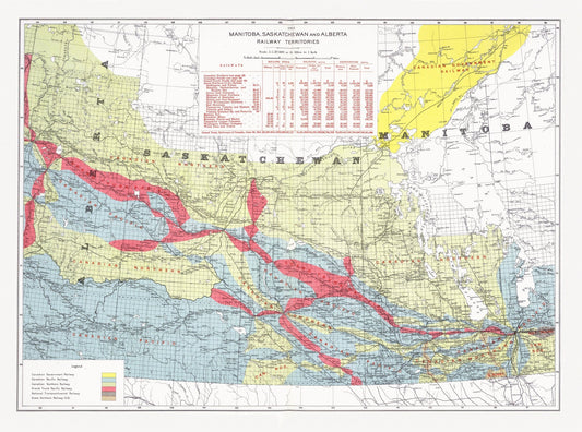
Canada Department of the Interior, Manitoba, Saskatchewan and Alberta railway territories, 1915, map on heavy cotton canvas, 22x27" approx.
Regular price $45.00 CADRegular price -
Northern Canada, 1907, map on heavy cotton canvas, 22x27" approx.
Regular price $45.00 CADRegular price -
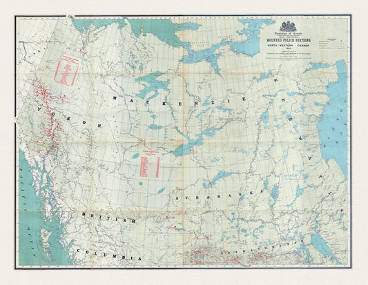
Map showing Mounted Police stations in North-Western Canada, 1904, map on heavy cotton canvas, 22x27" approx.
Regular price $45.00 CADRegular price -
North America from the Mississippi River to the Pacific, between the 35th and 60th parallels, 1790 , on heavy cotton canvas, 22x27" approx.
Regular price $45.00 CADRegular price -
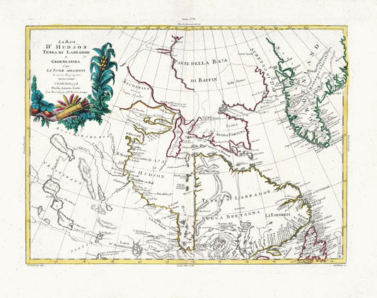
Zatta, Zuiliani, Novelli et Pitteri, La Baja D'Hudson Terra di Labrador e Groenlandia, 1778, map on heavy cotton canvas, 22x27" approx.
Regular price $45.00 CADRegular price