-
Pacific NorthWest, Canada 1764 Ver.II, Bellin auth., map on heavy cotton canvas, 50 x 70cm, 20 x 25" approx.
Regular price $45.00 CADRegular price -
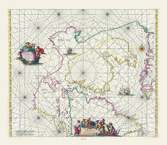
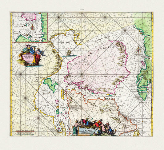
Witt, Septemtrionaliora Americae a Groenlandia, per Freta Davidis et Hudson, etc., 1765, map on heavy cotton canvas, 20 x 25" approx.
Regular price $45.00 CADRegular price -
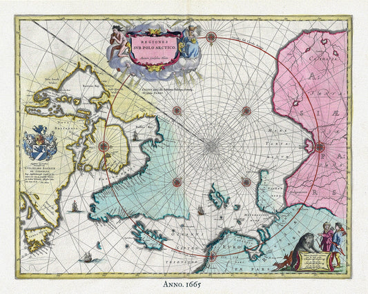
Arctic, 1665, Blaeu auth , map on heavy cotton canvas, 50 x 70cm, 20 x 25" approx.
Regular price $45.00 CADRegular price -
Nouvelle carte des parties, ou lon a cherche le passage de nord-ouest dans les annees 1746 et 1747, Ellis auth. map on canvas, 20 x 25"
Regular price $45.00 CADRegular price -
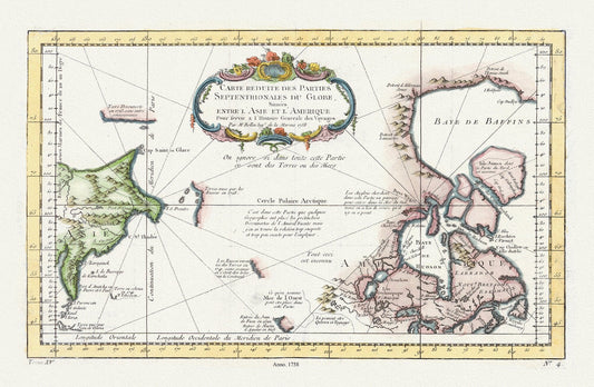
Carte reduite des parties septentrionales du globe, generale des voyages, 1758, Bellin auth., map on heavy cotton canvas,20 x 25" approx.
Regular price $45.00 CADRegular price -
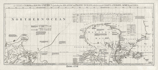
Baffin Bay, Canada, 1776 Jefferys auth., map on heavy cotton canvas, 50 x 70cm, 20 x 25" approx.
Regular price $45.00 CADRegular price -
Mari Archipelaghi polari artici dalla Baia d'Hudson all' America Russa, 1858, Marmocchi auth. map on cotton canvas, 20 x 25" approx
Regular price $45.00 CADRegular price -
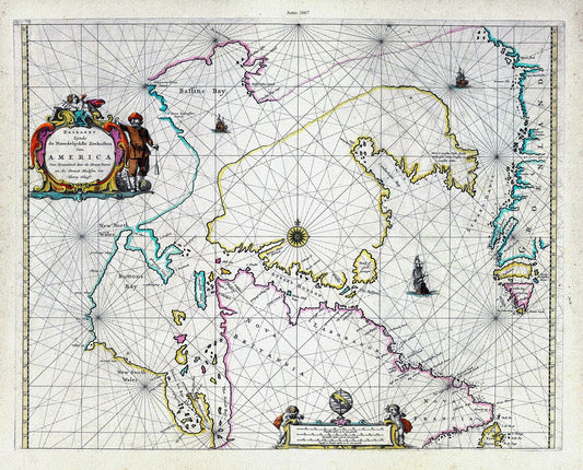
America Nort, 1667, Goos auth., map on heavy cotton canvas, 50 x 70cm, 20 x 25" approx.
Regular price $45.00 CADRegular price -
Septemtrionaliora Americæ a Groenlandia, per Freta Davidis et Hudson, ad Terram Novam, 1745, Ottens
Regular price $45.00 CADRegular price -
Recent discoveries in the Arctic Regions, 1833, Aspen auth. , map on durable cotton canvas, 50 x 70 cm, 20 x 25" approx.
Regular price $45.00 CADRegular price -
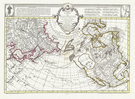
Buache et Delisle, Carte Des Nouvelles Decouvertes Au Nord de la Mer de Sud, 1752, map on heavy cotton canvas, 22x27" approx.
Regular price $45.00 CADRegular price -
Map of the north polar regions to illustrate the origin & migrations of the Greenland Esquimaux, 1865 ,on heavy cotton canvas, 22x27"
Regular price $45.00 CADRegular price -
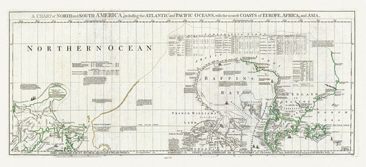
Chart containing part of the Icy Sea, Greenland, Islands about Baffins Bay and Hudsons Bay, 1776 , map on heavy cotton canvas, 22x27" approx
Regular price $45.00 CADRegular price -
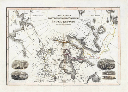
Thomson et Wyld, Discoveries Capts. Ross, Parry & Franklin in the Arctic Regions, 1824, map on heavy cotton canvas, 22x27" approx.
Regular price $45.00 CADRegular price -
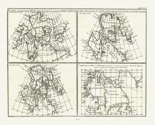
Vaugondy et Diderot, Mapping of the Northwest Passage, 1772, map on heavy cotton canvas, 22x27" approx.
Regular price $45.00 CADRegular price -
Septemtrionaliora Americae a Groenlandia, per Freta Davidis et Hudson, de Straet Davis end Straet Hudson tot Terra Neuf, 1765, 22x27" canvas
Regular price $45.00 CADRegular price -
Meriwether Lewis, A Map showing the Mississippi, the Missouri above Kansas, Lakes Michigan, Superior, and Winnipeg, 1803, canvas, 22x27"
Regular price $45.00 CADRegular price -
Map of the North West Territory illustrating the British and United States boundary line, , 1872-3-4, map on cotton canvas, 22x27" approx.
Regular price $45.00 CADRegular price -
A map of part of the continent of North America, to the Pacific and between latitude 35 and 52 North, 1830, map on canvas, 22x27"
Regular price $45.00 CADRegular price -
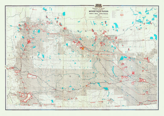
Map showing mounted police stations in the North West Territories, 1904, map on heavy cotton canvas, 22x27" approx.
Regular price $45.00 CADRegular price -
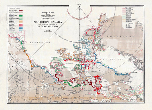
Explorations in Northern Canada and adjacent portions of Greenland and Alaska, 1904 , map on heavy cotton canvas, 22x27" approx.
Regular price $45.00 CADRegular price -
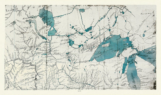
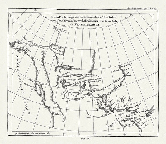
The communication of the lakes and the rivers between Lake Superior and Slave Lake in North America,1790, Pond auth.20x25" approx
Regular price $45.00 CADRegular price -
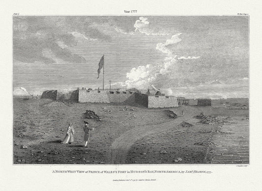
A north west view of Prince of Wales's Fort in Hudson's Bay, North America, Saml. Hearne auth., 1777, .50 x 70 cm, 20 x 25" approx.
Regular price $45.00 CADRegular price -
Outline to shew the Connected Discoveries of Captains Ross, Parry & Franklin, in the years 1818, 19, 20 and 21.20x35, 20 x 25" approx.
Regular price $45.00 CADRegular price