-
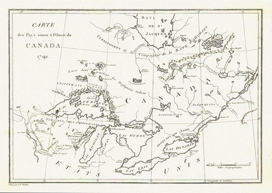
Carte des Pays situes a l'Ouest du Canada, Long auth.,1791, travel poster on durable cotton canvas, 50 x 70 cm, 20 x 25" approx.
Regular price $45.00 CADRegular price -
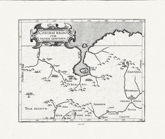
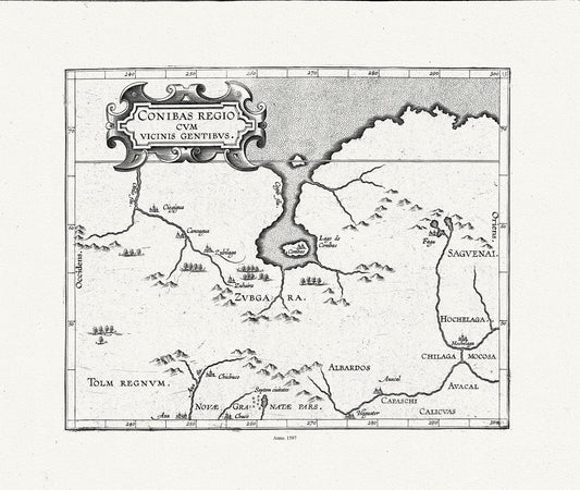
Wytfliet, Corneille, Conibas regio cum vicinis gentibus, (Central Canada), 1597, map on heavy cotton canvas, 22x27" approx.
Regular price $45.00 CADRegular price -
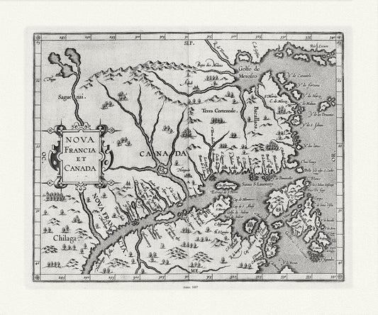
Wytfliet, Corneille, Nova Francia et Canada, 1607 , map on heavy cotton canvas, 22x27" approx.
Regular price $45.00 CADRegular price -
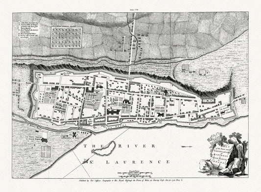
Jefferys, Town and Fortifications of Montreal or Ville Marie in Canada, 1758, map on heavy cotton canvas, 20x27" approx.
Regular price $45.00 CADRegular price -
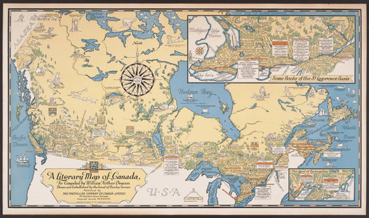
Poster Map Print on heavy Canvas, A Literary Map of Canada,1936, 22x27" approx.
Regular price $45.00 CADRegular price -
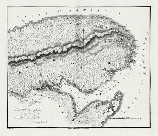
Quebec: Bouchette et Faden, Plan of the District of Gaspe, 1815 , map on heavy cotton canvas, 22x27" approx.
Regular price $45.00 CADRegular price -
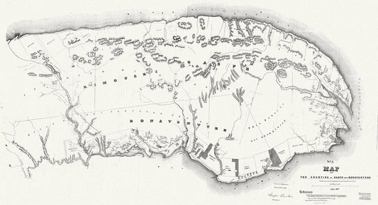
Quebec: Map of the counties of Gaspe and Bonaventure exhibiting the lands adjudicated unsurveyed, Clergy Reserves, 1857 , canvas, 22x27"
Regular price $45.00 CADRegular price -
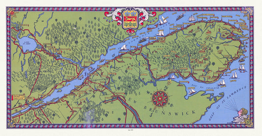
Quebec: Tourist map of Gaspé Peninsula and vicinity, 1929 , map on heavy cotton canvas, 22x27" approx.
Regular price $45.00 CADRegular price -
Wytfliet, Corneille, Conibas regio cum vicinis gentibus, Central Canada, 1597E
Regular price $45.00 CADRegular price -
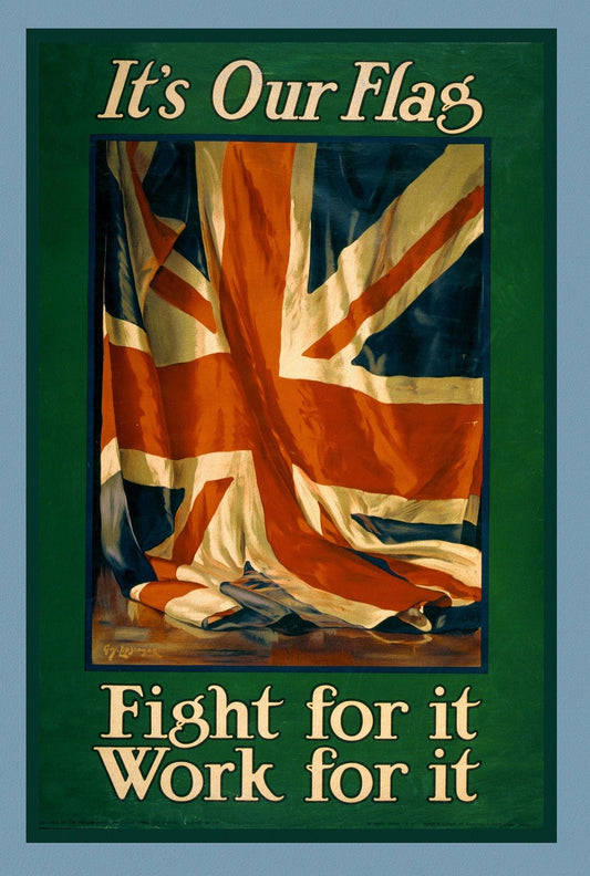
It's our flag. Fight for it. Work for it, Canada WW I Poster, 1915
Regular price $45.00 CADRegular price -
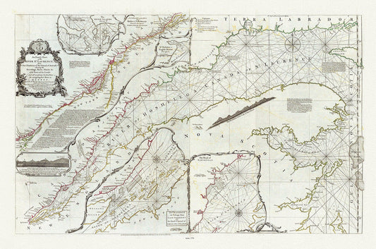
Quebec: Jefferys, An Exact Chart of the River St. Laurence, 1775, map on heavy cotton canvas, 22x27" approx.
Regular price $40.00 CADRegular price -
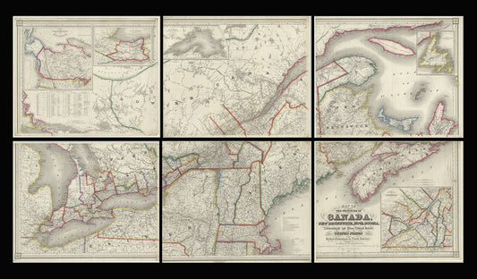
Map of the provinces of Canada, New Brunswick, Nova Scotia, Newfoundland and Prince Edward Island, a set of 6 highly detailed maps on canvas
Regular price $300.00 CADRegular price -
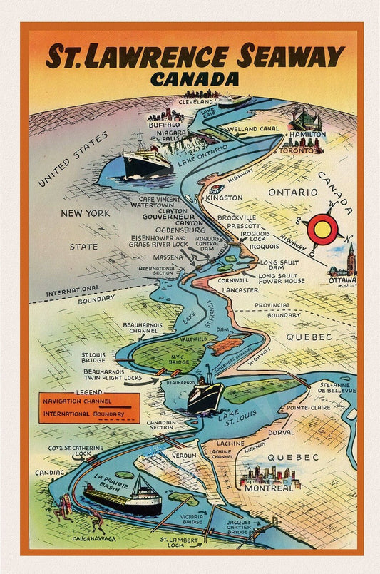
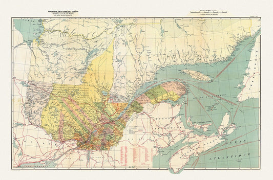
St. Lawrence Seaway Canada , map on durable cotton canvas, 50 x 70 cm, 20 x 25" approx.
Regular price $45.00 CADRegular price -
Bouchette et Faden, Map of Lower Canada, 1815 , map on durable cotton canvas, 50 x 70 cm, 20 x 25" approx.
Regular price $45.00 CADRegular price -
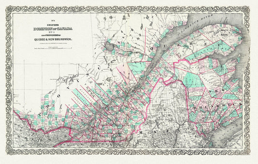
Quebec & New Brunswick, 1874, Colton auth., map on durable cotton canvas, 50 x 70 cm, 20 x 25" approx.
Regular price $45.00 CADRegular price -
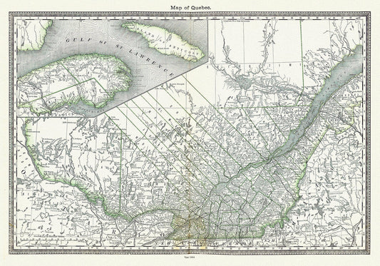
Map of Quebec, 1884, Hardesty & Co. auth. , map on durable cotton canvas, 50 x 70 cm, 20 x 25" approx.
Regular price $45.00 CADRegular price -
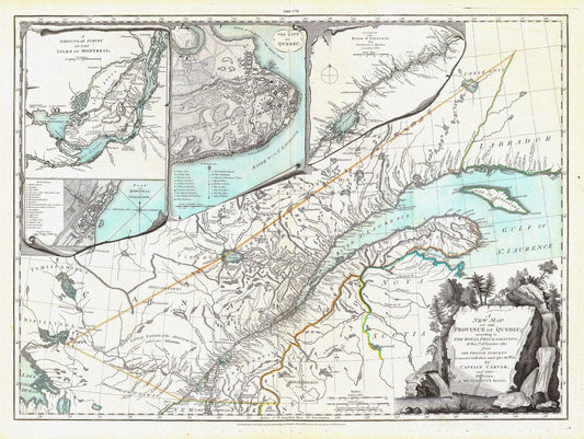
New Map Of The Province of Quebec, 1776, Jefferys auth., map on durable cotton canvas, 50 x 70 cm, 20 x 25" approx.
Regular price $45.00 CADRegular price -
Lower Canada. 1857, map on durable cotton canvas, 50 x 70 cm, 20 x 25" approx.
Regular price $45.00 CADRegular price -
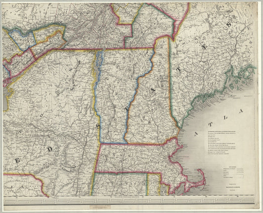
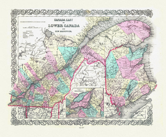
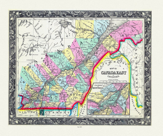
Map Of Canada East, In Counties, 1860 , map on durable cotton canvas, 50 x 70 cm, 20 x 25" approx.
Regular price $45.00 CADRegular price -
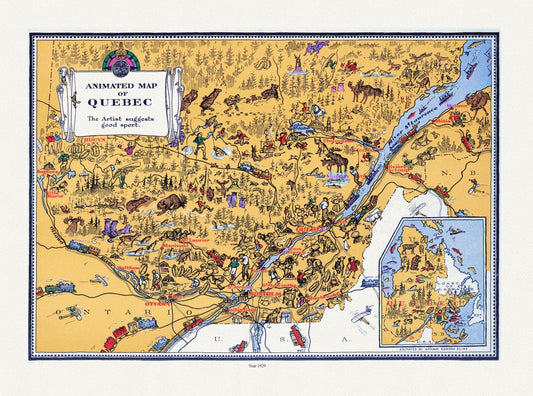
Master et Elias, An Animated Map of Quebec, 1929, map on durable cotton canvas, 50 x 70 cm, 20 x 25" approx.
Regular price $45.00 CADRegular price -
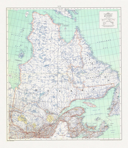
Québec, 1962, map on durable cotton canvas, 50 x 70 cm, 20 x 25" approx.
Regular price $45.00 CADRegular price -
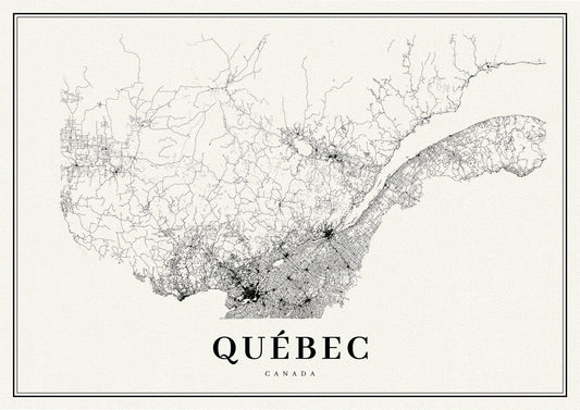
Quebec, A Modern Map
Regular price $45.00 CADRegular price -
Québec, South Sheet, 1914 , map on durable cotton canvas, 50 x 70 cm, 20 x 25" approx.
Regular price $45.00 CADRegular price -
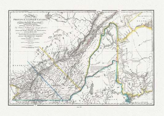
Province Of Lower Canada, 1838 , map on durable cotton canvas, 50 x 70 cm, 20 x 25" approx.
Regular price $45.00 CADRegular price