-
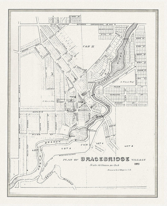
Bracebridge, Muskoka Region, 1893, map on heavy cotton canvas, 22x27" approx.
Regular price $45.00 CADRegular price -
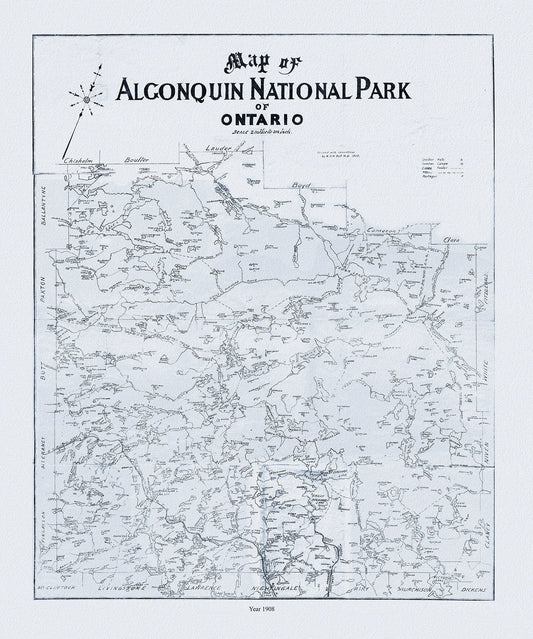
Historic Algonquin Park Map, Dr. Bell auth., 1908 Ver. II , map on heavy cotton canvas, 45 x 65 cm, 18 x 24" approx.
Regular price $45.00 CADRegular price -
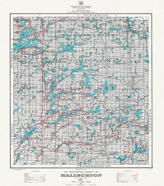
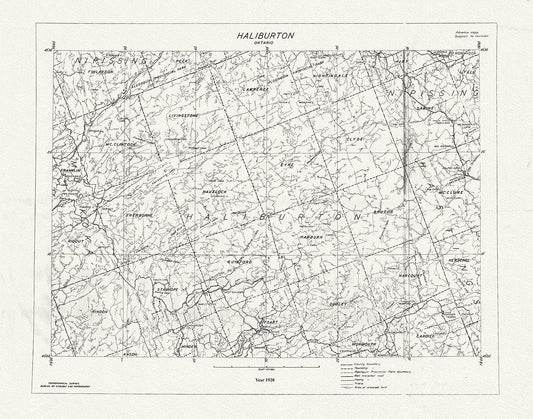
Historic Algonquin Park Map, Haliburton County, 1937 Ver. A, map on heavy cotton canvas, 45 x 65 cm, 18 x 24" approx.
Regular price $45.00 CADRegular price -
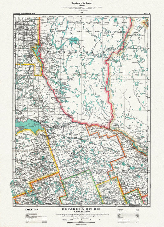
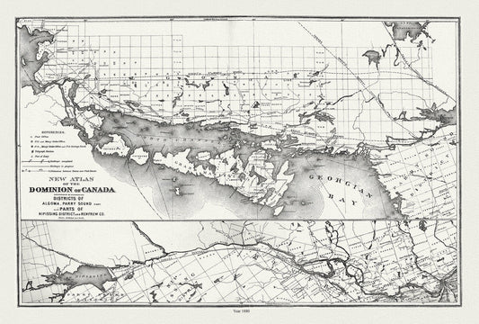
Historic Algonquin Park Map, Nipissing District, 1922, map on heavy cotton canvas, 20 x 30" or 50 x 75cm. approx.
Regular price $45.00 CADRegular price -
Historic Algonquin Park Map, National Topographic Series, Haliburton County, 1920
Regular price $45.00 CADRegular price -
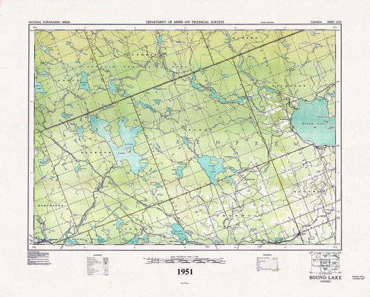
Historic Algonquin Park Map, Round Lake, National Topographic Series, 1951 , map on heavy cotton canvas, 45 x 65 cm, 18 x 24" approx.
Regular price $45.00 CADRegular price -
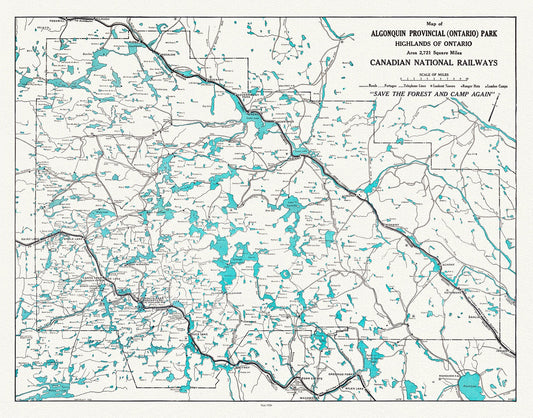
Historic Algonquin Park, Canadian National Railways, 1926, map on heavy cotton canvas, 22x27" approx.
Regular price $45.00 CADRegular price -
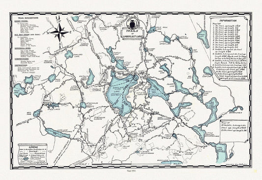
Muskoka, Trails of Limberlost Lodge,1931 , map on heavy cotton canvas, 45 x 65 cm, 18 x 24" approx.
Regular price $45.00 CADRegular price -
Lake Huron, North Shore, Algoma, Manitoulin, Parry Sound, 1880 , map on durable cotton canvas, 50 x 70 cm, 20 x 25" approx.
Regular price $45.00 CADRegular price -
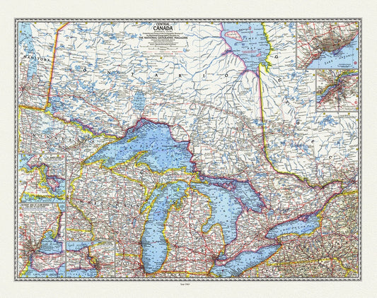
Central Canada, National Geographic, 1963, map on durable cotton canvas, 50 x 70 cm, 20 x 25" approx.
Regular price $45.00 CADRegular price -
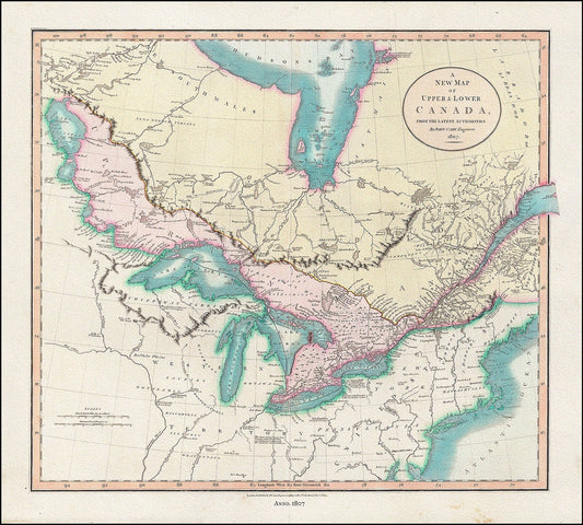
A New Map of Upper & Lower Canada, From the Latest Authorities, 1807, John Cary auth., cotton canvas, 50 x 70 cm, 20 x 25" approx.
Regular price $45.00 CADRegular price -
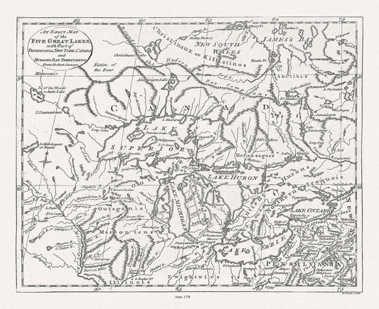
The Great Lakes, Lodge, 1778, map on durable cotton canvas, 50 x 70 cm, 20 x 25" approx.
Regular price $45.00 CADRegular price -
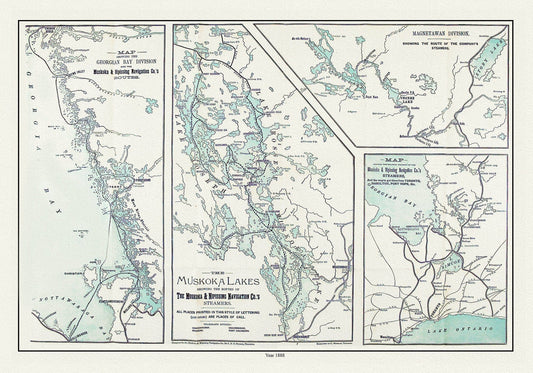
Muskoka Lakes, Guide to Steamer Routes, 1888 , map on durable cotton canvas, 50 x 70 cm, 20 x 25" approx.
Regular price $45.00 CADRegular price -
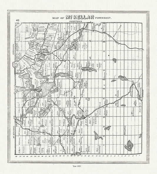
Muskoka-Haliburton, McKellar Township, 1893, map on heavy cotton canvas, 20 x 25" approx.
Regular price $45.00 CADRegular price -
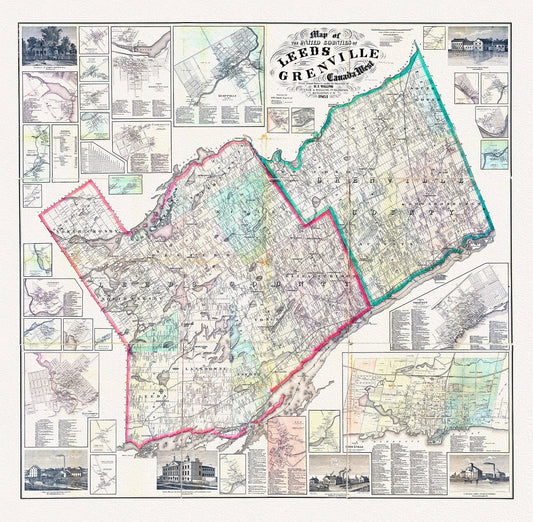
E Map of the United Counties of Leeds and Grenville, Canada West.1861, map on durable cotton canvas, 50 x 70 cm, 20 x 25" approx.
Regular price $45.00 CADRegular price -
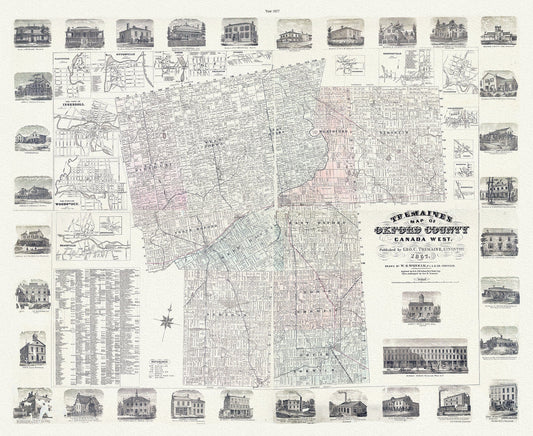
Oxford County, Canada West, 1857 , map on durable cotton canvas, 50 x 70 cm, 20 x 25" approx.
Regular price $45.00 CADRegular price -
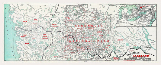
Historic Algonquin Park Map, Grand Trunk Railway, 1912, map on heavy cotton canvas, 22x27" approx.
Regular price $45.00 CADRegular price -
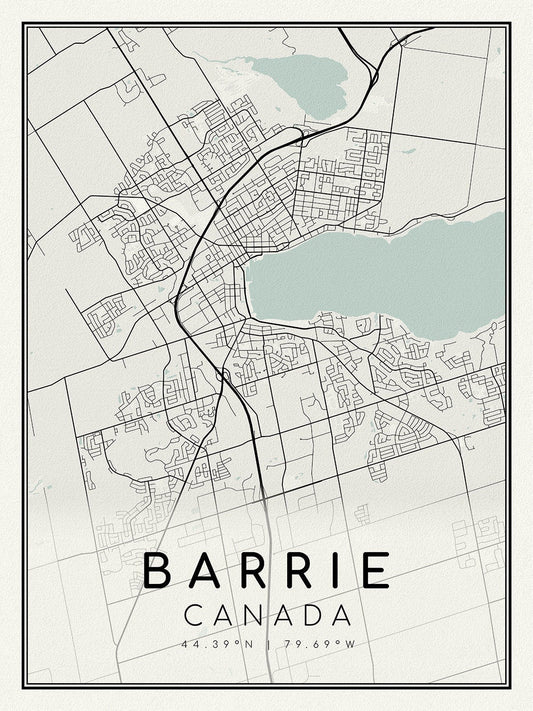
Barrie, Ontario, map on heavy cotton canvas, 45 x 65 cm, 18 x 24" approx.
Regular price $45.00 CADRegular price -
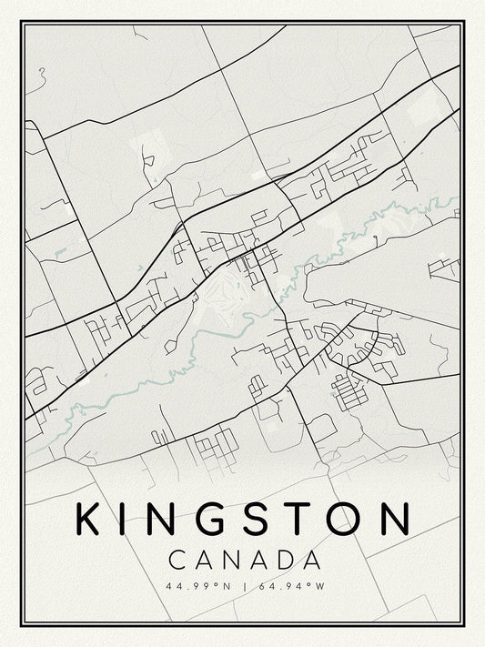
Kingston, Ontario, A Modern Map on heavy cotton canvas, 45 x 65 cm, 18 x 24" approx.
Regular price $45.00 CADRegular price -
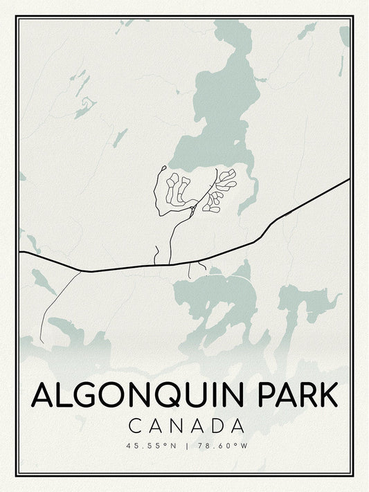
Algonquin Park, A Modern Map on heavy cotton canvas, 45 x 65 cm, 18 x 24" approx.
Regular price $45.00 CADRegular price -
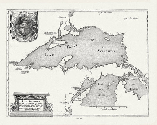
Lac Svperievr et avtres lievx ou sont les Missions des Peres de la Compagnie de Iesvs comprises sovs le no, 1672
Regular price $45.00 CADRegular price -
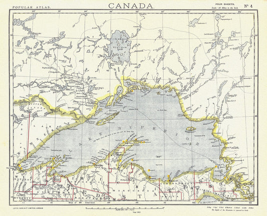
Lake Superior, 1883, map on durable cotton canvas, 50 x 70 cm, 20 x 25" approx.
Regular price $45.00 CADRegular price -
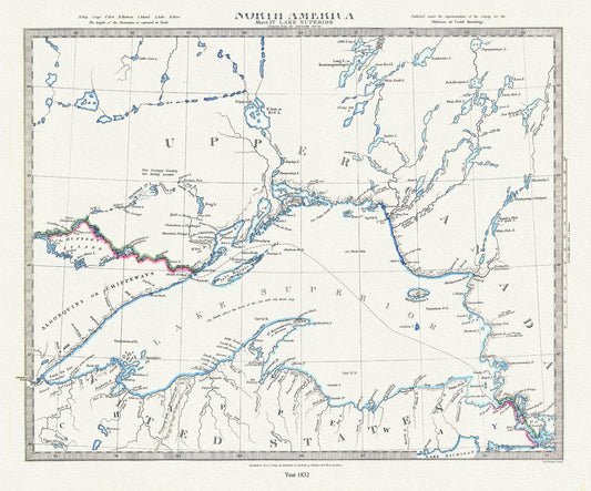
Lake Superior, reduced from the Admiralty Survey, 1832 , map on durable cotton canvas, 50 x 70 cm, 20 x 25" approx.
Regular price $45.00 CADRegular price -
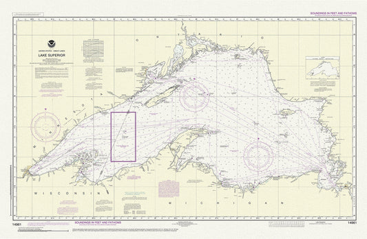
Lake Superior, 14961, 1983
Regular price $45.00 CADRegular price