-
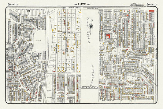
Plate 71, Toronto West North, Prospect Cemetery, 1923, Map on heavy cotton canvas, 18x27in. approx.
Regular price $45.00 CADRegular price -
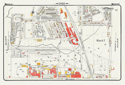
Plate 67, Toronto West, Stockyards North, 1923, Map on heavy cotton canvas, 18x27in. approx.
Regular price $45.00 CADRegular price -
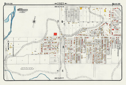
Plate 69, Toronto West, Mount Dennis, Eglinton & Jane, 1923, Map on heavy cotton canvas, 18x27in. approx.
Regular price $45.00 CADRegular price -
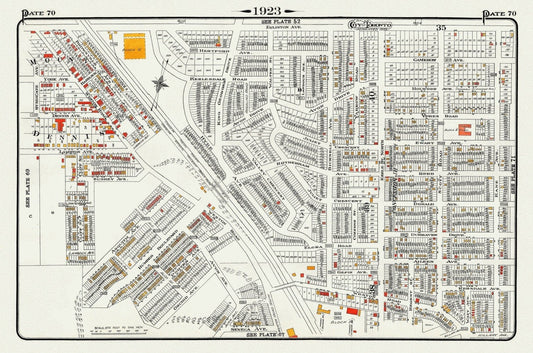
Plate 70, Toronto West and North, Weston Road & Mount Dennis, 1923, Map on heavy cotton canvas, 18x27in. approx.
Regular price $45.00 CADRegular price -
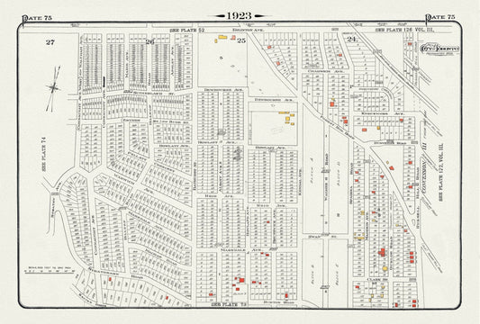
Plate 75, Toronto Uptown West, Forrest Hill at Bathurst Street, 1923, Map on heavy cotton canvas, 18x27in. approx.
Regular price $45.00 CADRegular price -
Plate 77, Toronto West and North, Lambton, 1923, Map on heavy cotton canvas, 18x27in. approx.
Regular price $45.00 CADRegular price -
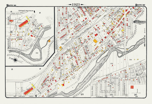
Plate 80, Toronto North and West, Weston, 1923, Map on heavy cotton canvas, 18x27in. approx.
Regular price $45.00 CADRegular price -
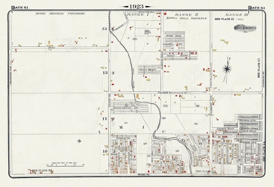
Plate 81, Toronto West, Mimico & Etobicoke, Kingsway, 1923, Map on heavy cotton canvas, 18x27in. approx.
Regular price $45.00 CADRegular price -
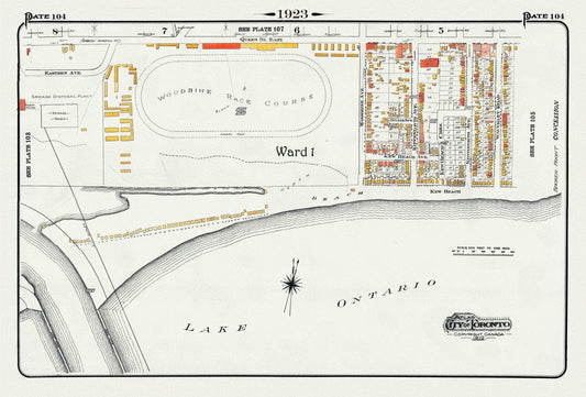
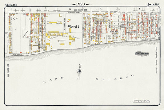
Plate 104, Toronto East, Waterfront, Woodbine Race Course, 1923, Map on heavy cotton canvas, 18x27in. approx.
Regular price $45.00 CADRegular price -
Plate 105, Toronto East, Waterfront, Kew Gardens & Scarborough Beach Park, 1923, Map on heavy cotton canvas, 18x27in. approx.
Regular price $45.00 CADRegular price -
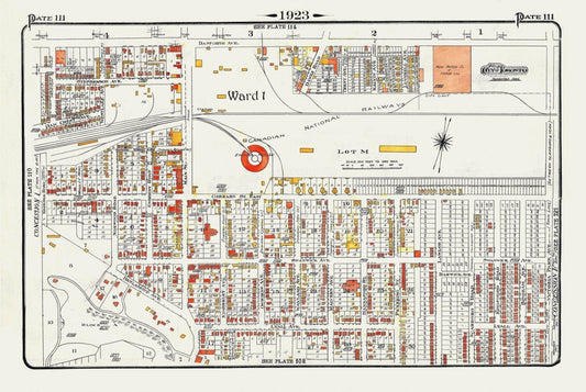
Plate 111, Toronto East York, Main St. South of Danforth Ave., 1923, Map on heavy cotton canvas, 18x27in. approx.
Regular price $45.00 CADRegular price -
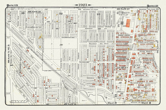
Plate 122, Toronto North, South of Eglinton Avenue, 1923, Map on heavy cotton canvas, 18x27in. approx.
Regular price $45.00 CADRegular price -
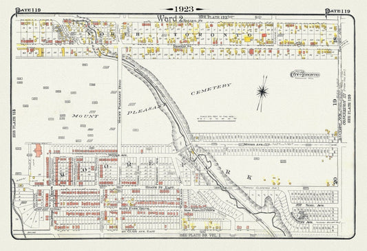
Plate 119, Toronto Uptown, Moore Park & Mount Pleasant, 1923, Map on heavy cotton canvas, 18x27in. approx.
Regular price $45.00 CADRegular price -
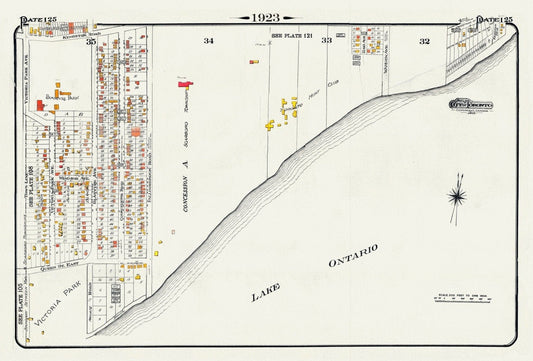
Plate 125, Toronto East, Waterfront, Beach & Hunt Club, 1923, Map on heavy cotton canvas, 18x27in. approx.
Regular price $45.00 CADRegular price -
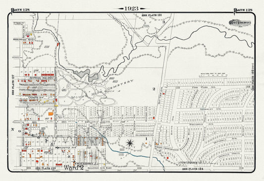
Plate 128, Toronto Uptown East, Leaside, Mount Hope Cemetery, 1923, Map on heavy cotton canvas, 18x27in. approx.
Regular price $45.00 CADRegular price -
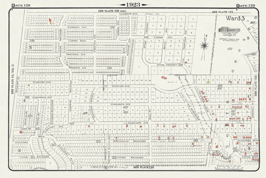
Plate 129, Toronto North, South of Lawrence Ave., 1923, Map on heavy cotton canvas, 18x27in. approx.
Regular price $45.00 CADRegular price -
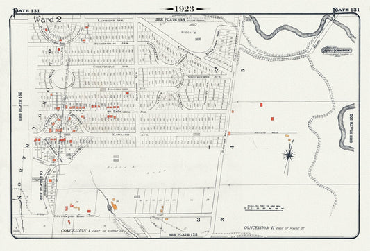
Plate 131, Toronto North of Blythewood, 1923, Map on heavy cotton canvas, 18x27in. approx.
Regular price $45.00 CADRegular price -
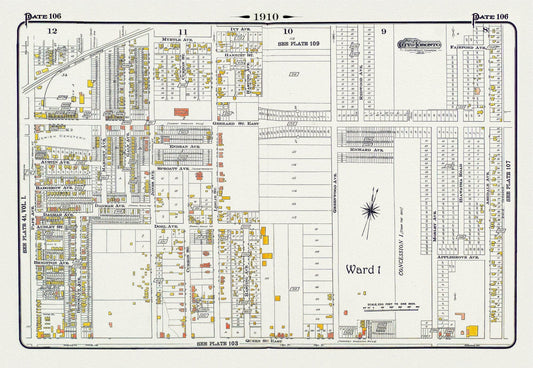
Plate 106, Toronto East, Leslieville and North, 1910 , map on heavy cotton canvas, 20 x 30" approx.
Regular price $45.00 CADRegular price -
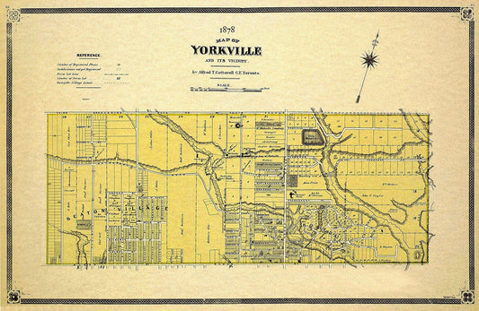
Cotterell, Yorkville, County of York, 1878 Ver.II, map on heavy cotton canvas, 22x27" approx.
Regular price $45.00 CADRegular price -
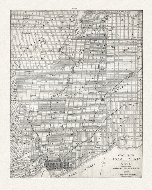
Foster, Cyclists' Road Map to York, 1898, map on heavy cotton canvas, 22x27" approx.
Regular price $45.00 CADRegular price -
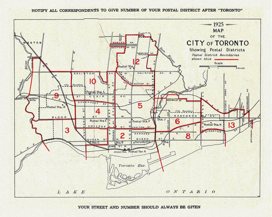
A Map of the City of Toronto Showing Postal Districts, 1925, map on heavy cotton canvas, 22x27" approx.
Regular price $45.00 CADRegular price -
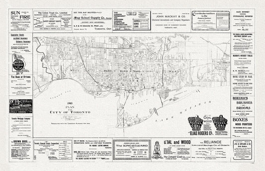
Plan of the City of Toronto, 1903, map on heavy cotton canvas, 22x27" approx.
Regular price $45.00 CADRegular price -
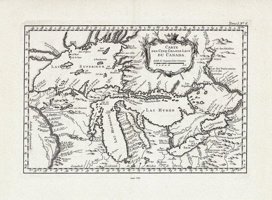
Bellin, Carte des Cinq Grande Lacs du Canada, 1764, map on heavy cotton canvas, 22x27" approx.
Regular price $45.00 CADRegular price -
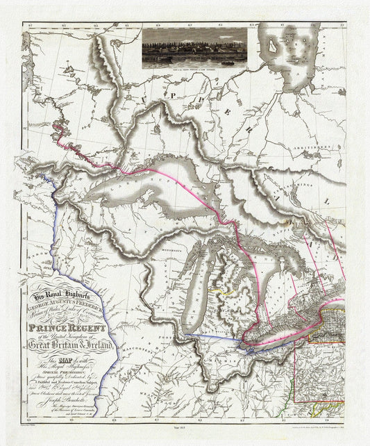
Bouchette et Faden, West sheet, Map of the Provinces of Upper and Lower Canada,etc.,1815, map on heavy cotton canvas, 22x27" approx.
Regular price $45.00 CADRegular price