-
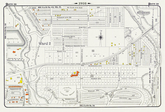
Plate 39, Toronto Uptown, Rosedale & Moore Park, 1910, map on heavy cotton canvas, 20 x 30" approx.
Regular price $45.00 CADRegular price -
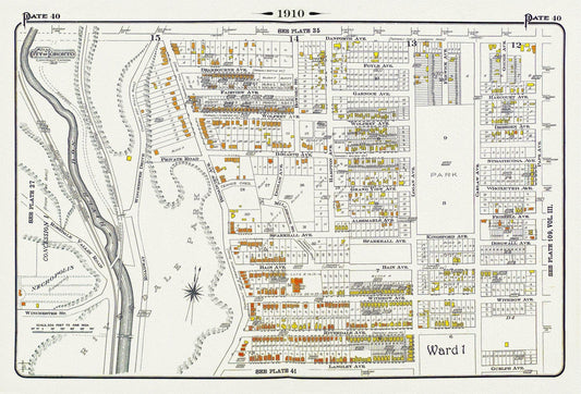

Plate 40, Toronto East, Riverdale, Withrow Park, 1910 , map on heavy cotton canvas, 20 x 30" approx.
Regular price $45.00 CADRegular price -
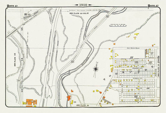
Plate 47, Toronto East York, Todmorden, 1910 , map on heavy cotton canvas, 20 x 30" approx.
Regular price $45.00 CADRegular price -
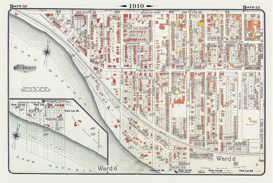
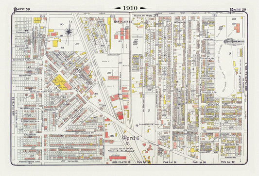
Plate 53, Toronto West, Parkdale South & West, 1910, map on heavy cotton canvas, 20 x 30" approx.
Regular price $45.00 CADRegular price -
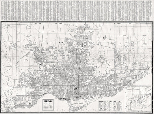
Metropolitan Toronto, 1955 , map on heavy cotton canvas, 22x27" approx.
Regular price $45.00 CADRegular price -
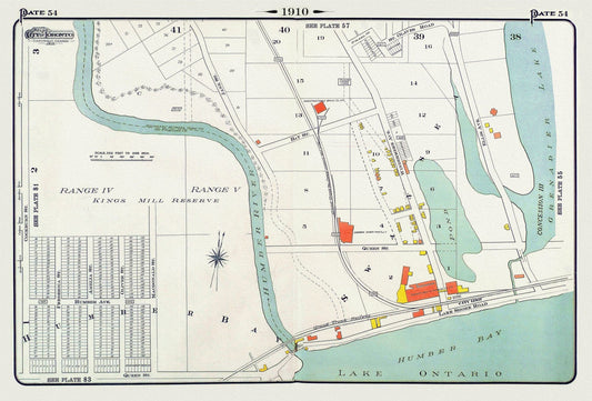
Plate 54, Toronto West, Swansea & High Park South, 1910 , map on heavy cotton canvas, 20 x 30" approx.
Regular price $45.00 CADRegular price -
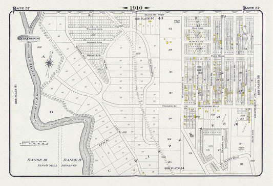
Plate 57, Toronto West, High Park West, South Kingsway & Swansea, 1910, map on heavy cotton canvas, 20 x 30" approx.
Regular price $45.00 CADRegular price -
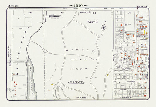
Plate 58, Toronto West, High Park, 1910 , map on heavy cotton canvas, 20 x 30" approx.
Regular price $45.00 CADRegular price -
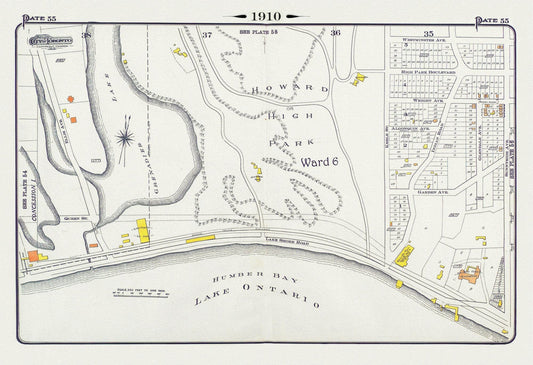
Plate 55, Toronto West, High Park South, 1910, map on heavy cotton canvas, 20 x 30" approx.
Regular price $45.00 CADRegular price -
Plate 59, Toronto West, High Park East Side & Brockton, South of Bloor St., 1910 , map on heavy cotton canvas, 20 x 30" approx.
Regular price $45.00 CADRegular price -
Plate 60, Toronto West, High Park West, Bloor West Village, 1910, map on heavy cotton canvas, 20 x 30" approx.
Regular price $45.00 CADRegular price -
Plate 61, Toronto West, High Park North, 1910 , map on heavy cotton canvas, 20 x 30" approx.
Regular price $45.00 CADRegular price -
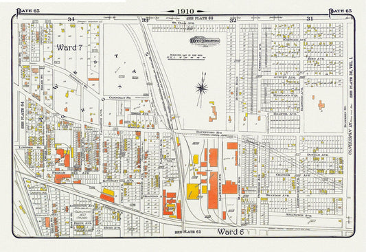
Plate 65, Toronto West, Junction Triangle & Brockton North, 1910 , map on heavy cotton canvas, 20 x 30" approx.
Regular price $55.00 CADRegular price -
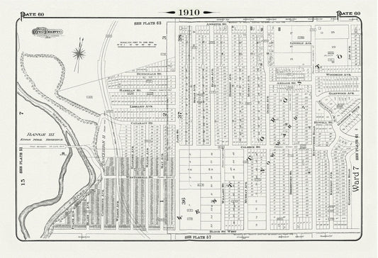
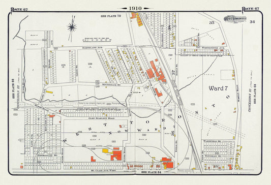
Plate 67, Toronto West, Stockyards North, 1910 , map on heavy cotton canvas, 20 x 30" approx.
Regular price $45.00 CADRegular price -
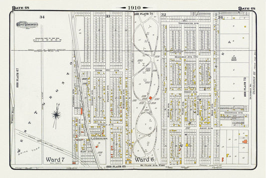
Plate 68, Toronto North West, Caledonia & St. Clair, Prospect Cemetery, 1910 , map on heavy cotton canvas, 20 x 30" approx.
Regular price $45.00 CADRegular price -
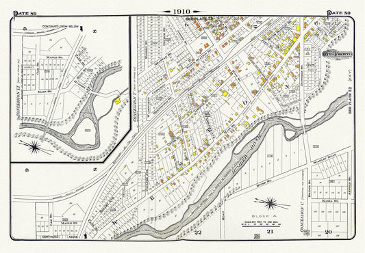
Plate 80, Toronto North and West, Weston, 1910, map on heavy cotton canvas, 20 x 30" approx.
Regular price $45.00 CADRegular price -
Plate 82, Toronto West, Mimico, 1910 , map on heavy cotton canvas, 20 x 30" approx.
Regular price $45.00 CADRegular price -
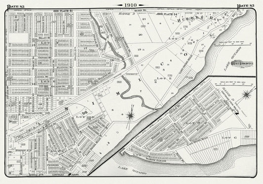
Plate 83, Toronto West, Mimico & Humber Bay, 1910, map on heavy cotton canvas, 20 x 30" approx.
Regular price $45.00 CADRegular price -
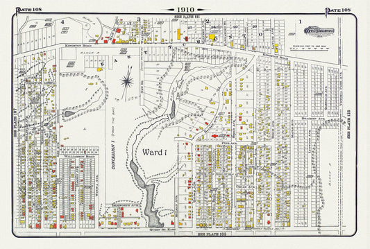
Plate 108, Toronto East, Beach North of Queen St. & Pine Avenue, 1910 , map on heavy cotton canvas, 20 x 30" approx.
Regular price $45.00 CADRegular price -
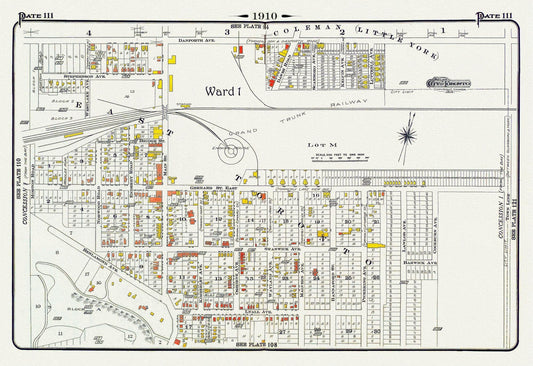
Plate 111, Toronto East York, Main St. South of Danforth Ave., 1910, map on heavy cotton canvas, 20 x 30" approx.
Regular price $45.00 CADRegular price -
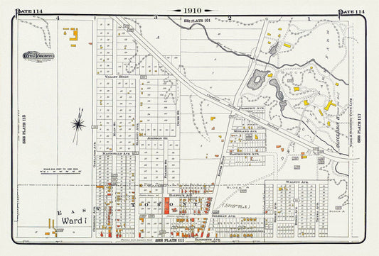
Plate 114, Toronto East, Danforth, Dentonia, Dawes Road, 1910 , map on heavy cotton canvas, 20 x 30" approx.
Regular price $45.00 CADRegular price -
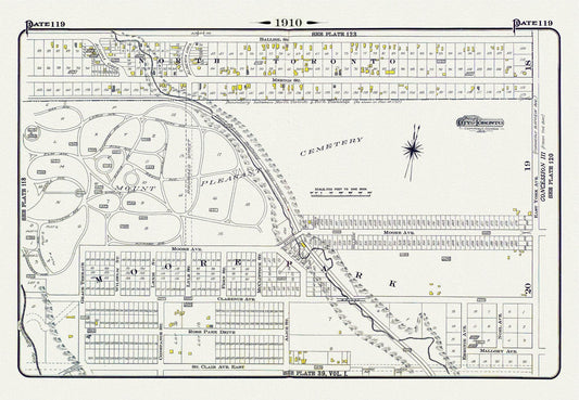
Plate 119, Toronto Uptown, Moore Park & Mount Pleasant, 1910, map on heavy cotton canvas, 20 x 30" approx.
Regular price $45.00 CADRegular price -
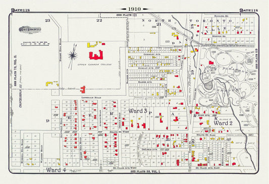
Plate 118, Toronto Uptown, Upper Canada College, Mount Pleasant, 1910 , map on heavy cotton canvas, 20 x 30" approx.
Regular price $45.00 CADRegular price -
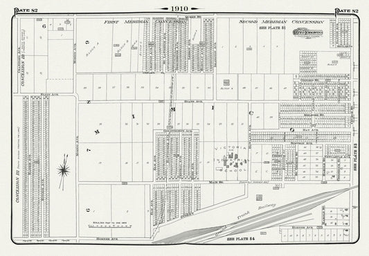
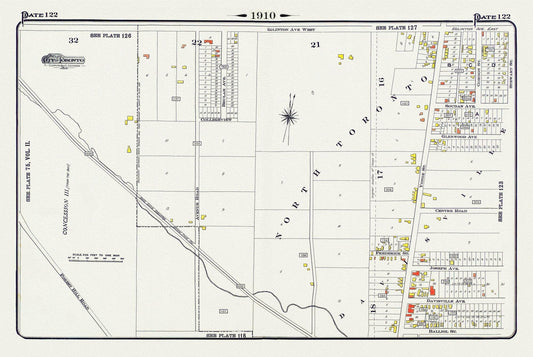
Plate 122, North Toronto, South of Eglinton Avenue, 1910 , map on heavy cotton canvas, 20 x 30" approx.
Regular price $45.00 CADRegular price