-
Map of the North West Territory illustrating the British and United States boundary line, , 1872-3-4, map on cotton canvas, 22x27" approx.
Regular price $45.00 CADRegular price -
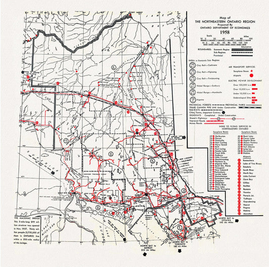
Map of the Northeastern Ontario Region, 1958, map on heavy cotton canvas, 50 x 70cm, 20 x 25" approx.
Regular price $45.00 CADRegular price -
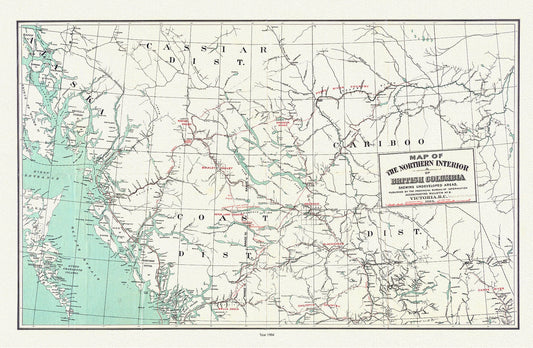
Map of the northern interior of British Columbia shewing undeveloped areas, 1904, map on durable cotton canvas, 50 x 70 cm, 20 x 25" approx.
Regular price $45.00 CADRegular price -
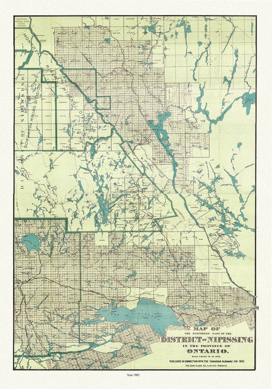
Map of the northern part of the District of Nipissing in the province of Ontario, 1902 Ver. II , map on canvas, 50 x 70cm, 20 x 25" approx.
Regular price $45.00 CADRegular price -
Map of the Province of Alberta, Canada, showing natural resources, 1945 ,on heavy cotton canvas, 22x27" approx.
Regular price $45.00 CADRegular price -
Map of the province of Nova Scotia including Cape Breton Prince Edwards Island and part of New Brunswick, Toler, 1819
Regular price $45.00 CADRegular price -
Map of the province of Nova Scotia including Cape Breton Prince Edwards Island and part of New Brunswick, Toler, 1819, 20 x 25" approx.
Regular price $45.00 CADRegular price -
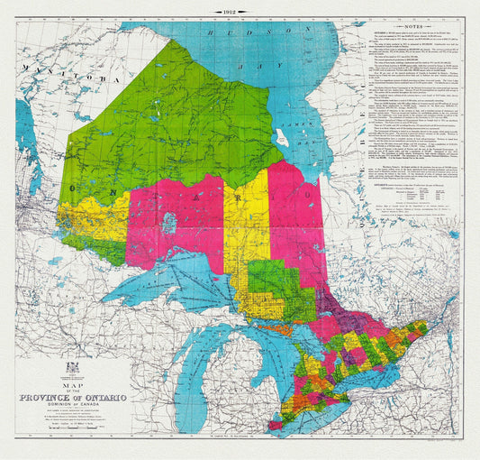
Map of the Province of Ontario, Dominion of Canada, 1912, map on heavy cotton canvas, 22x27" approx.
Regular price $45.00 CADRegular price -
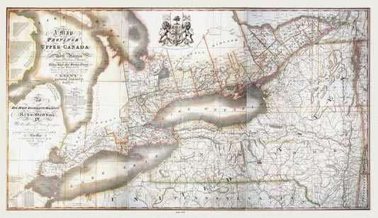
Map of the province of Upper Canada and the adjacent territories in North America, 1826 , map on heavy cotton canvas, 22x27" approx.
Regular price $45.00 CADRegular price -
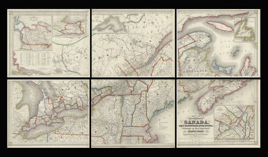
Map of the provinces of Canada, New Brunswick, Nova Scotia, Newfoundland and Prince Edward Island, a set of 6 highly detailed maps on canvas
Regular price $300.00 CADRegular price -
Map of the south-western part of British Columbia, Vernon, 1892, map on durable cotton canvas, 50 x 70 cm, 20 x 25" approx.
Regular price $45.00 CADRegular price -
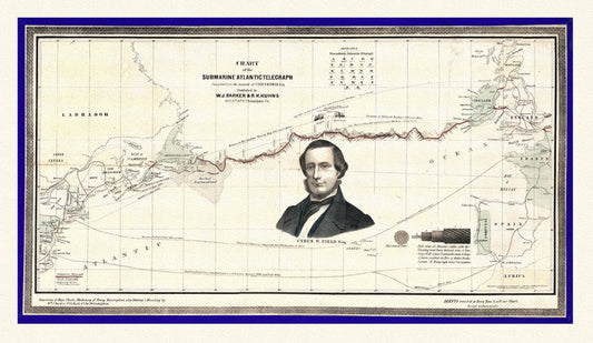
Map of The Submarine Atlantic Telegraph, on heavy canvas, 22x27" approx.
Regular price $45.00 CADRegular price -
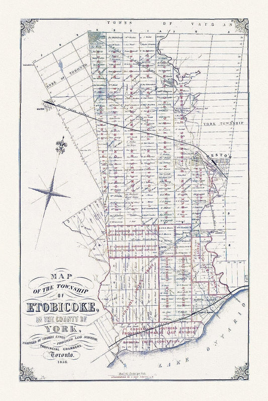
Map of the Township of Etobicoke, 1856, map on heavy cotton canvas, 22x27" approx.
Regular price $45.00 CADRegular price -
Map of the United States, Territory of Oregon, west of the Rocky Mountains, connected with fur trade, 1838, canvas map 20x25"
Regular price $45.00 CADRegular price -
Map of the Yukon Territory to illustrate the summary reports of R.G. McConnell, Keele and Camsell, 1907, map on canvas, 20 x 25" approx.
Regular price $45.00 CADRegular price -
Map of the Yukon Territory, 1919, map on durable cotton canvas, 50 x 70 cm, 20 x 25" approx.
Regular price $45.00 CADRegular price -
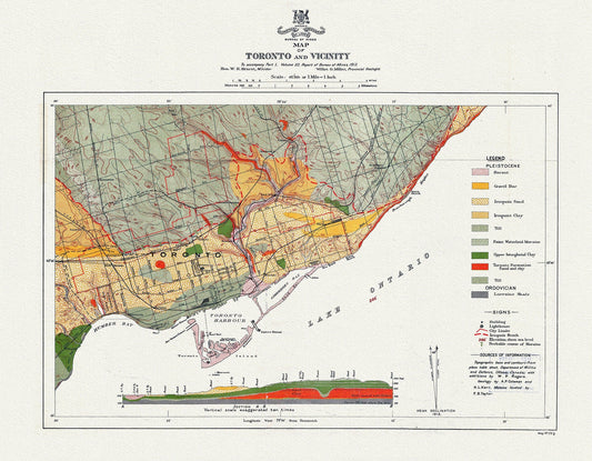
Map of Toronto and Vicinity To accompany part 1, Volume 22, Report of Bureau of Mines, 1913, map on heavy cotton canvas, 22x27" approx.
Regular price $45.00 CADRegular price -
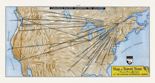
Map of Travel Time To and From Europe Via the Shorter St. Lawrence Seaway, 1938 Ver. 1 , map on cotton canvas, 50 x 70 cm, 20 x 25" approx.
Regular price $45.00 CADRegular price -
Map of Trenton, 1878, map on heavy cotton canvas, 45 x 65 cm, 18 x 24" approx.
Regular price $45.00 CADRegular price -
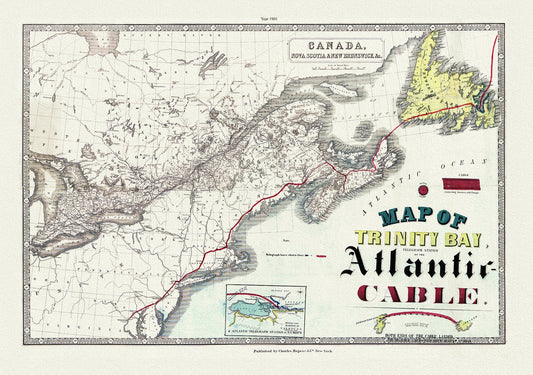
Map of Trinity Bay, Telegraph Station of the Atlantic Cable, 1901, on heavy canvas, 22x27" approx.
Regular price $45.00 CADRegular price -
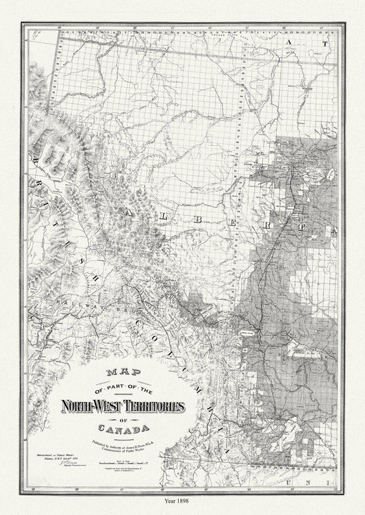
Map of Western Alberta, formerly N.W.T., 1898, map on durable cotton canvas, 50 x 70 cm or 20x25" approx.
Regular price $45.00 CADRegular price -
Map of Western Canada showing the protein content of red spring wheat, 1928, map on heavy cotton canvas, 22x27" approx.
Regular price $45.00 CADRegular price -
Map of White Pass & Yukon Route and connections, 1915 , map on durable cotton canvas, 50 x 70 cm, 20 x 25" approx.
Regular price $45.00 CADRegular price -
Map of Yukon District with the adjacent northern part of British Columbia, 1903, map on durable cotton canvas, 50 x 70 cm, 20 x 25" approx.
Regular price $45.00 CADRegular price