-
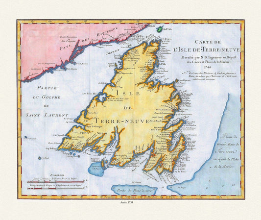
Carte de l'Isle de Terre-Neuve, Bellin auth.,1744 , map on heavy cotton canvas, 50 x 70 cm, 20 x 25" approx.
Regular price $45.00 CADRegular price -
Newfoundland: Insel Neu Land od. Terre Neuve olirn Avalon, 1762 , map on heavy cotton canvas, 50 x 70 cm, 20 x 25" approx.
Regular price $45.00 CADRegular price -
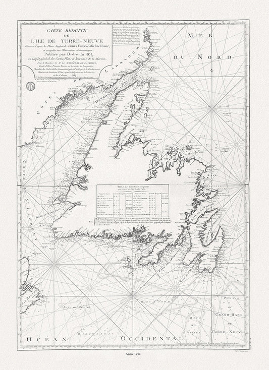
Isle de Terre-Neuve, Lane et Cook, 1784 , map on heavy cotton canvas, 50 x 70 cm, 20 x 25" approx.
Regular price $45.00 CADRegular price -
Jefferys, A Chart Of The Banks Of Newfoundland, 1776 , map on heavy cotton canvas, 50 x 70 cm, 20 x 25" approx.
Regular price $45.00 CADRegular price -
Newfoundland: A Comparison of British and French Fishing rights, Johnston auth., 1885 ,on heavy cotton canvas, 50 x 70 cm, 20 x 25" approx.
Regular price $45.00 CADRegular price -
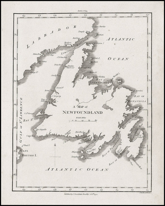
A Map of Newfoundland, Stockdale auth., 1794, map on heavy cotton canvas, 50 x 70 cm, 20 x 25" approx.
Regular price $45.00 CADRegular price -
Labrador Peninsula, NE Sheet, 1896, map on heavy cotton canvas, 45 x 65 cm, 18 x 24" approx.
Regular price $45.00 CADRegular price -
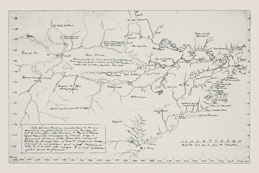
Carte de la Nouvelle France, Champlain (1632) et Thoreau (1850), map on heavy cotton canvas, 50 x 70 cm, 20 x 25" approx.
Regular price $45.00 CADRegular price -
Newfoundland,1912, Rand McNally and Company
Regular price $45.00 CADRegular price -
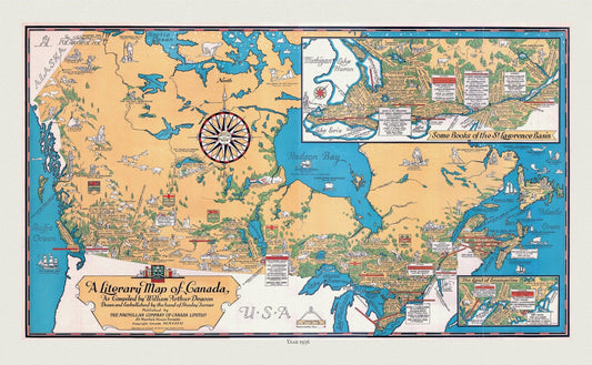
Canada, A Literary Map, 1936 , vintage map reprinted on durable cotton canvas, 50 x 70 cm, 20 x 25" approx.
Regular price $45.00 CADRegular price -
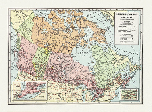
Dominion of Canada and Newfoundland-1948, Hammond auth., vintage map reprinted on durable cotton canvas, 50 x 70 cm, 20 x 25" approx.
Regular price $45.00 CADRegular price -
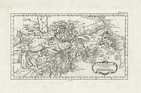
La Nouvelle France où Canada, ,Bellin, 1764 Ver. II, vintage map reprinted on durable cotton canvas, 50 x 70 cm, 20 x 25" approx.
Regular price $45.00 CADRegular price -
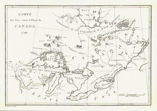
Carte des Pays situes a l'Ouest du Canada, Long auth.,1791, travel poster on durable cotton canvas, 50 x 70 cm, 20 x 25" approx.
Regular price $45.00 CADRegular price -
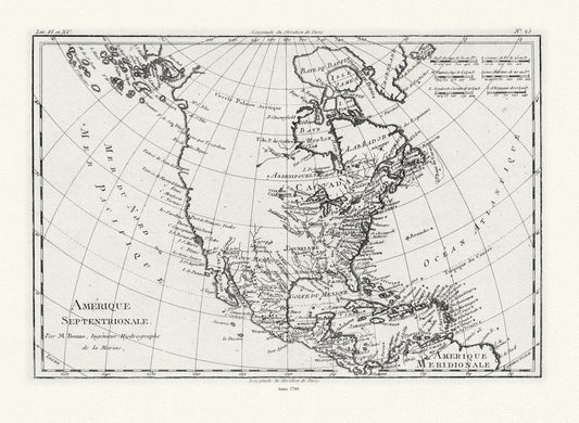
Bonne, Amérique septentrionale, 1780, map on heavy cotton canvas, 22x27" approx.
Regular price $45.00 CADRegular price -
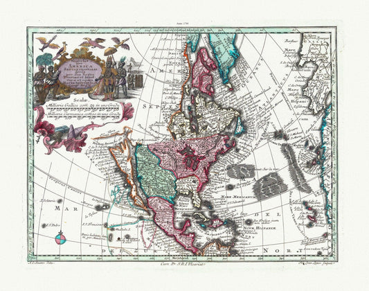
Blaeu et Weyermann, Novus Orbis Sive America Meridionalis Et Septentrionalis, 1744, map on heavy cotton canvas, 22x27" approx.
Regular price $45.00 CADRegular price -
Pierre-Jean Mariette, Carte de l'Amerique, 1646
Regular price $45.00 CADRegular price -
Moll, Parts of America Claimed by France, 1720, map on heavy cotton canvas, 22x27" approx.
Regular price $45.00 CADRegular price -
Mariette et Sanson, Amérique septentrionale, 1650 , map on heavy cotton canvas, 22x27" approx
Regular price $45.00 CADRegular price -
Regni Mexicani seu Novæ Hispaniæ, Ludovicianæ, N. Angliæ, Carolinæ, Virginæ et Pensylvaniæ in America Septentrionali, 1759 canvas 22x27"
Regular price $45.00 CADRegular price -
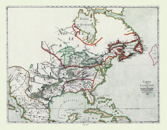
Franquelin (1850), Carte de la Louisiane ou des voyages du Sr. De La Salle, 1684 Ver. 1 , map on heavy cotton canvas, 22x27" approx.
Regular price $45.00 CADRegular price -
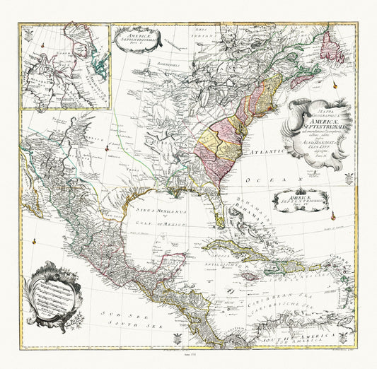
Euler, Sauerbrey et Rhode, Composite map Mappa geographica Americae Septentrionalis pars I-IV, 1753 , on heavy cotton canvas, 22x27" approx.
Regular price $45.00 CADRegular price -
L'Amérique septentrionale. Dressée sur les observations de mrs. de l'Academie royale des sciences. & quelques autres, 1760, on canvas,22x27"
Regular price $45.00 CADRegular price -
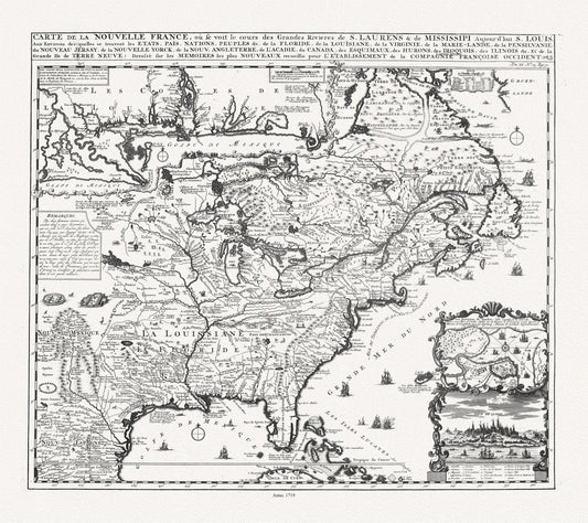
Henri Chatelain, Carte de la Nouvelle France, ou se voit le cours des grandes rivieres de S. Laurens & de Mississipi, 1719 ,canvas, 22x27"
Regular price $45.00 CADRegular price -
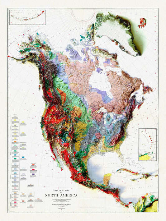
Geologic Map of North America, 1911 , map on heavy cotton canvas, 20 x 25" approx.
Regular price $45.00 CADRegular price