-
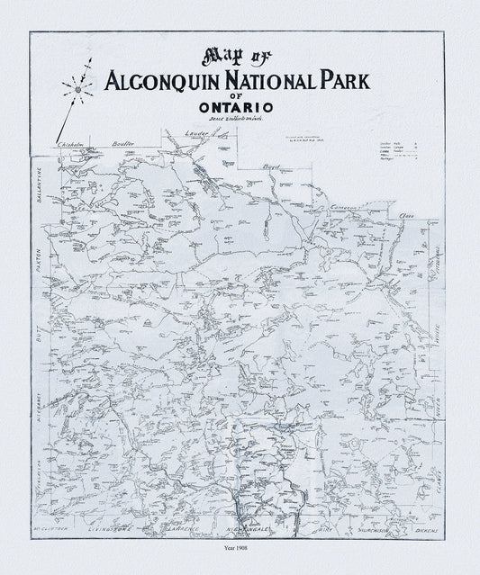
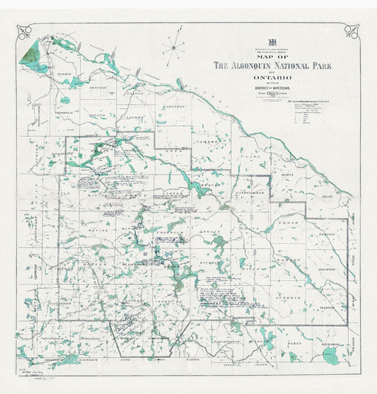
Historic Algonquin Park Map, Dr. Bell auth., 1908 Ver. II , map on heavy cotton canvas, 45 x 65 cm, 18 x 24" approx.
Regular price $45.00 CADRegular price -
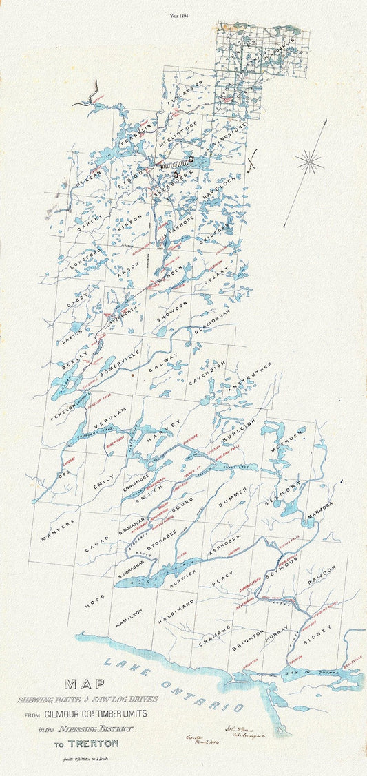
Historic Algonquin Park Map, Gilmour Log Drive from Nipissing to Trenton, 1894, map on durable cotton canvas, 14 x 28" approx.
Regular price $45.00 CADRegular price -
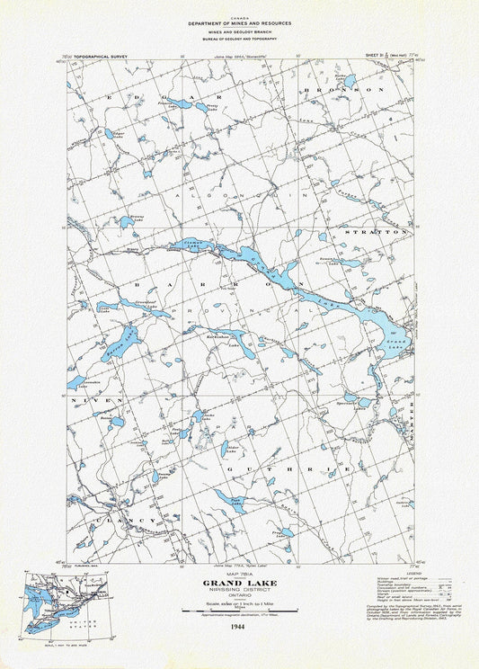
Historic Algonquin Park Map, Grand Lake, National Topographic Series, 1944, map on heavy cotton canvas, 20 x 25" approx.
Regular price $45.00 CADRegular price -
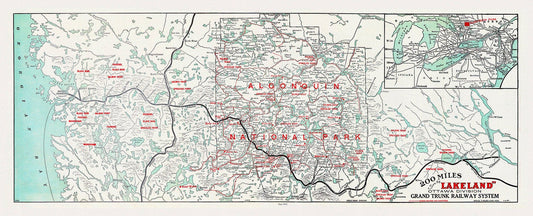
Historic Algonquin Park Map, Grand Trunk Railway, 1912, map on heavy cotton canvas, 22x27" approx.
Regular price $45.00 CADRegular price -
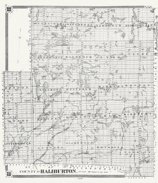
Historic Algonquin Park Map, Haliburton County, 1879, map on heavy cotton canvas, 20 x 25" approx.
Regular price $50.00 CADRegular price -
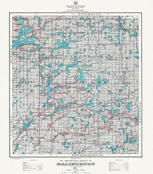
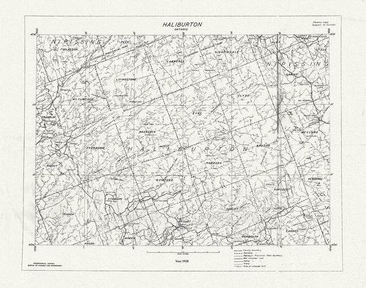
Historic Algonquin Park Map, Haliburton County, 1937 , map on heavy cotton canvas, 20 x 25" approx.
Regular price $45.00 CADRegular price -
Historic Algonquin Park Map, Haliburton County, 1937 Ver. A, map on heavy cotton canvas, 45 x 65 cm, 18 x 24" approx.
Regular price $45.00 CADRegular price -
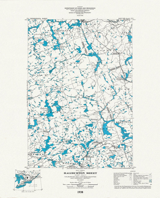
Historic Algonquin Park Map, Haliburton East, National Topographic Series, 1938, map on heavy cotton canvas, 22x27" approx.
Regular price $45.00 CADRegular price -
Historic Algonquin Park Map, Lands and Forrests, 1921, map on heavy cotton canvas, 20 x 25" approx.
Regular price $45.00 CADRegular price -
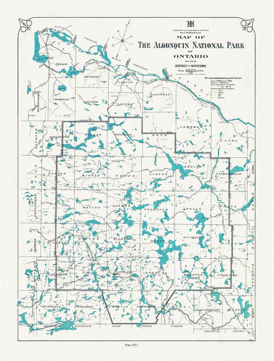
Historic Algonquin Park Map, Lands, Forests & Mines, 1911 , map on heavy cotton canvas, 20 x 25" approx.
Regular price $40.00 CADRegular price -
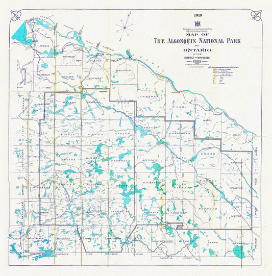
Historic Algonquin Park Map, Lands, Forests, Mines, 1919, map on heavy cotton canvas, 20 x 25" approx.
Regular price $45.00 CADRegular price -
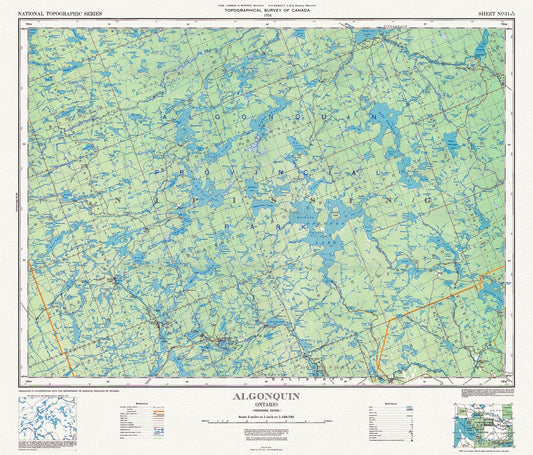
Historic Algonquin Park Map, National Topographic Series, 1934
Regular price $45.00 CADRegular price -
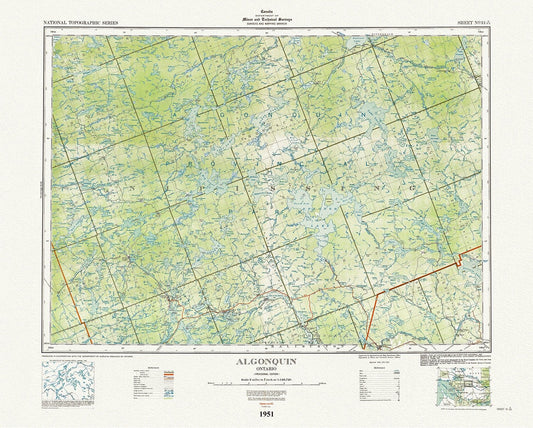
Historic Algonquin Park Map, National Topographic Series, Algonquin, 1951 , map on heavy cotton canvas, 45 x 65 cm, 18 x 24" approx.
Regular price $45.00 CADRegular price -
Historic Algonquin Park Map, National Topographic Series, Haliburton County, 1920
Regular price $45.00 CADRegular price -
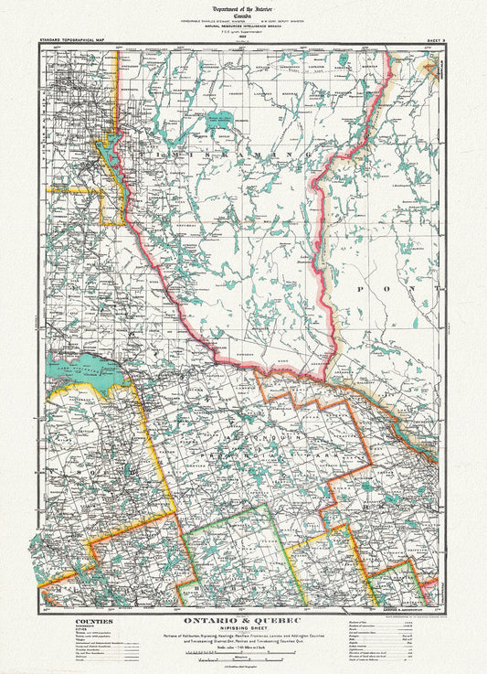
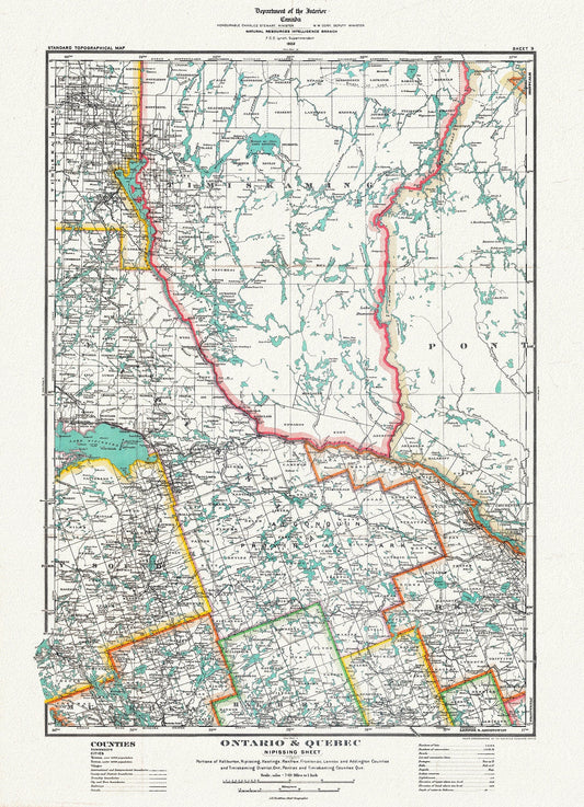
Historic Algonquin Park Map, Nipissing District, 1922, map on heavy cotton canvas, 20 x 25" approx.
Regular price $45.00 CADRegular price -
Historic Algonquin Park Map, Nipissing District, 1922, map on heavy cotton canvas, 20 x 30" or 50 x 75cm. approx.
Regular price $45.00 CADRegular price -
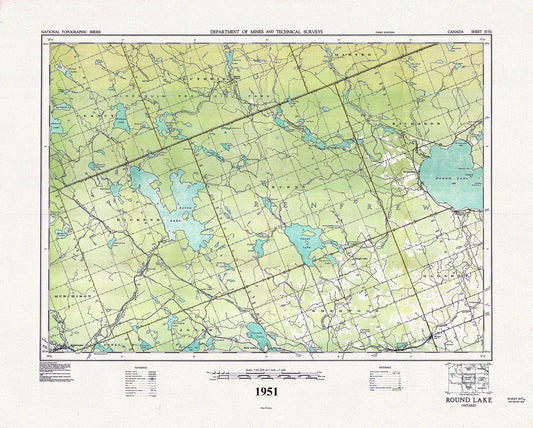
Historic Algonquin Park Map, Round Lake, National Topographic Series, 1951 , map on heavy cotton canvas, 45 x 65 cm, 18 x 24" approx.
Regular price $45.00 CADRegular price -
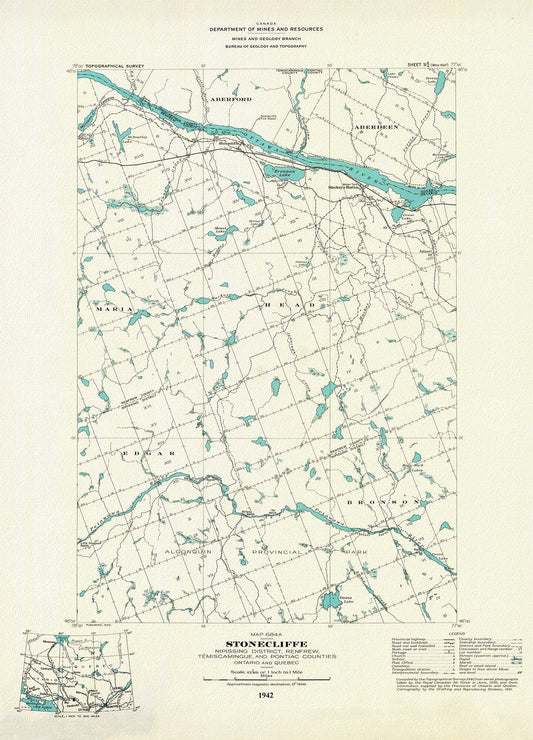
Historic Algonquin Park Map, Stonecliffe ,National Topographic Series, 1942, map on heavy cotton canvas, 20 x 25" approx.
Regular price $45.00 CADRegular price -
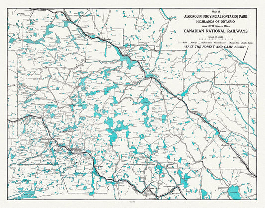
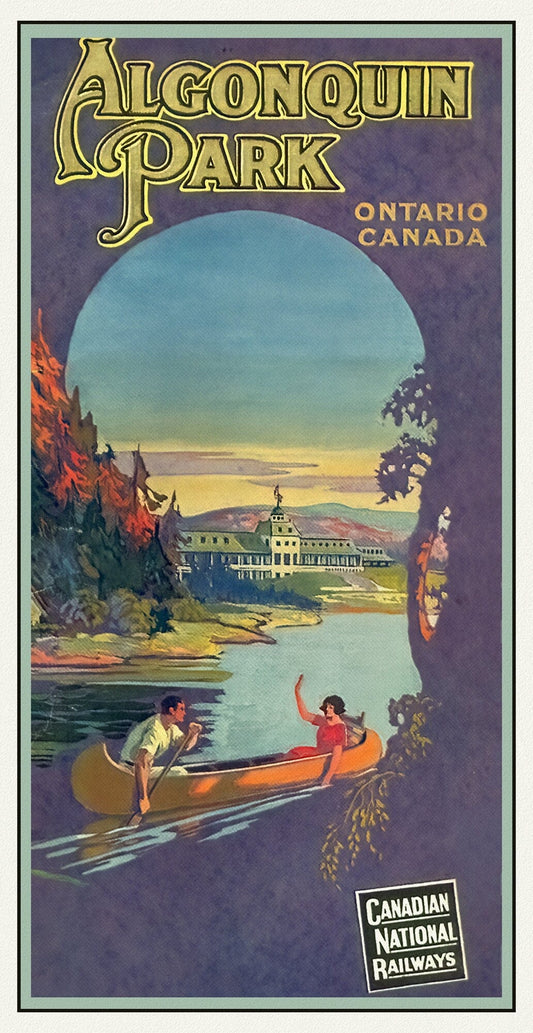
Historic Algonquin Park, Canadian National Railways, 1926, map on heavy cotton canvas, 22x27" approx.
Regular price $45.00 CADRegular price -
Historic Algonquin Park, CN Rail ,1925 , map on durable cotton canvas, 50 x 70 cm, 20 x 25" approx.
Regular price $45.00 CADRegular price -
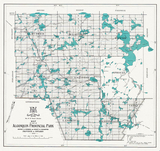
Historic Algonquin Provincial Park Map, 1914, map on heavy cotton canvas, 20x27" approx.
Regular price $45.00 CADRegular price -
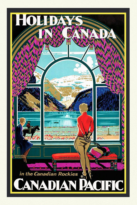
Holidays in Canada, In the Canadian Rockies, on heavy cotton canvas, 22x27" approx.
Regular price $45.00 CADRegular price -
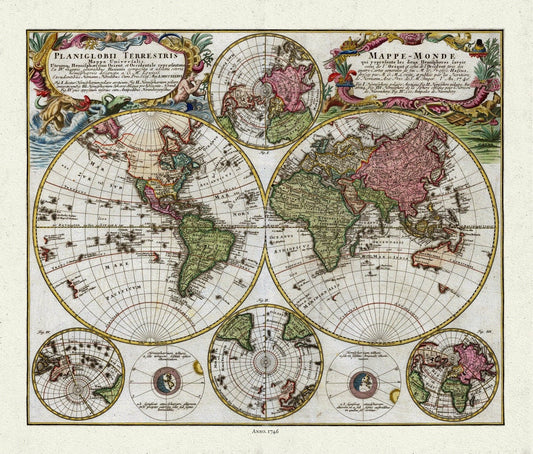
Homann, Mappe-Monde, 1746, Map on heavy cotton canvas, 22x27in. approx.
Regular price $45.00 CADRegular price -
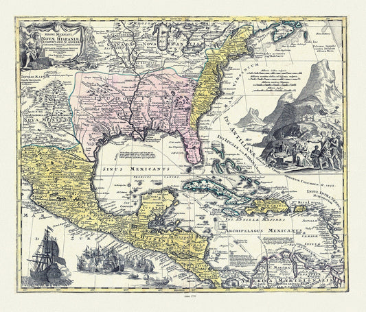
Homann, Regni Mexicani in America Septentrionali, 1759 , map on heavy cotton canvas, 25x27" approx.
Regular price $55.00 CADRegular price