

1
/
of
1
The Map Chest
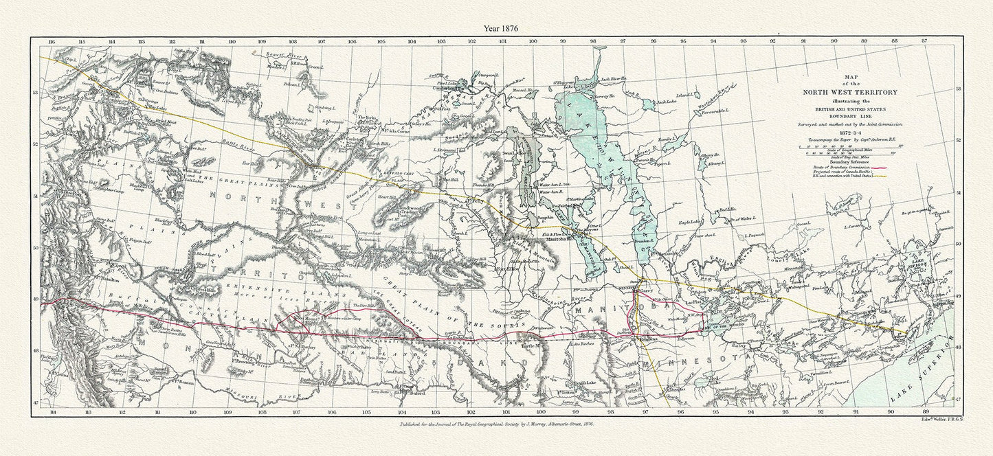
Canada: Arctic, Northern and Polar Exploration: Map of the North West Territory illustrating the British and United States boundary line. Surveyed and marked out by the Joint Commission, 1872-3-4.1876 19x48"
Canada: Arctic, Northern and Polar Exploration: Map of the North West Territory illustrating the British and United States boundary line. Surveyed and marked out by the Joint Commission, 1872-3-4.1876 19x48"
Regular price
$90.00 CAD
Regular price
Sale price
$90.00 CAD
Taxes included.
Shipping calculated at checkout.
Quantity
Couldn't load pickup availability
Share
-
Shipping
It usually takes 1 to 2 weeks to complete your map....and another 1-2 weeks for postal delivery
-
Returns
We do Accept returns in the case of Material Defects