1
/
of
1
The Map Chest
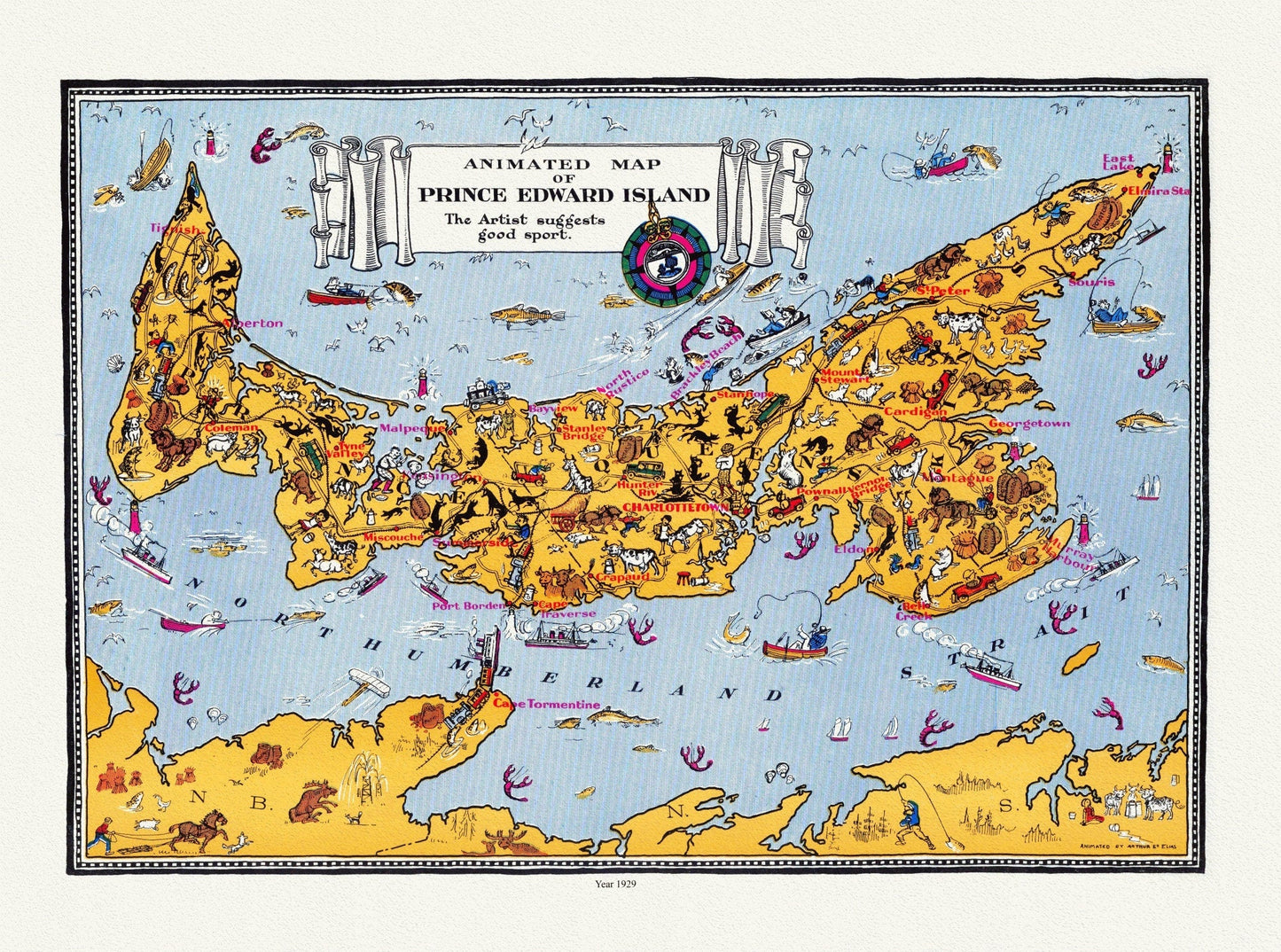
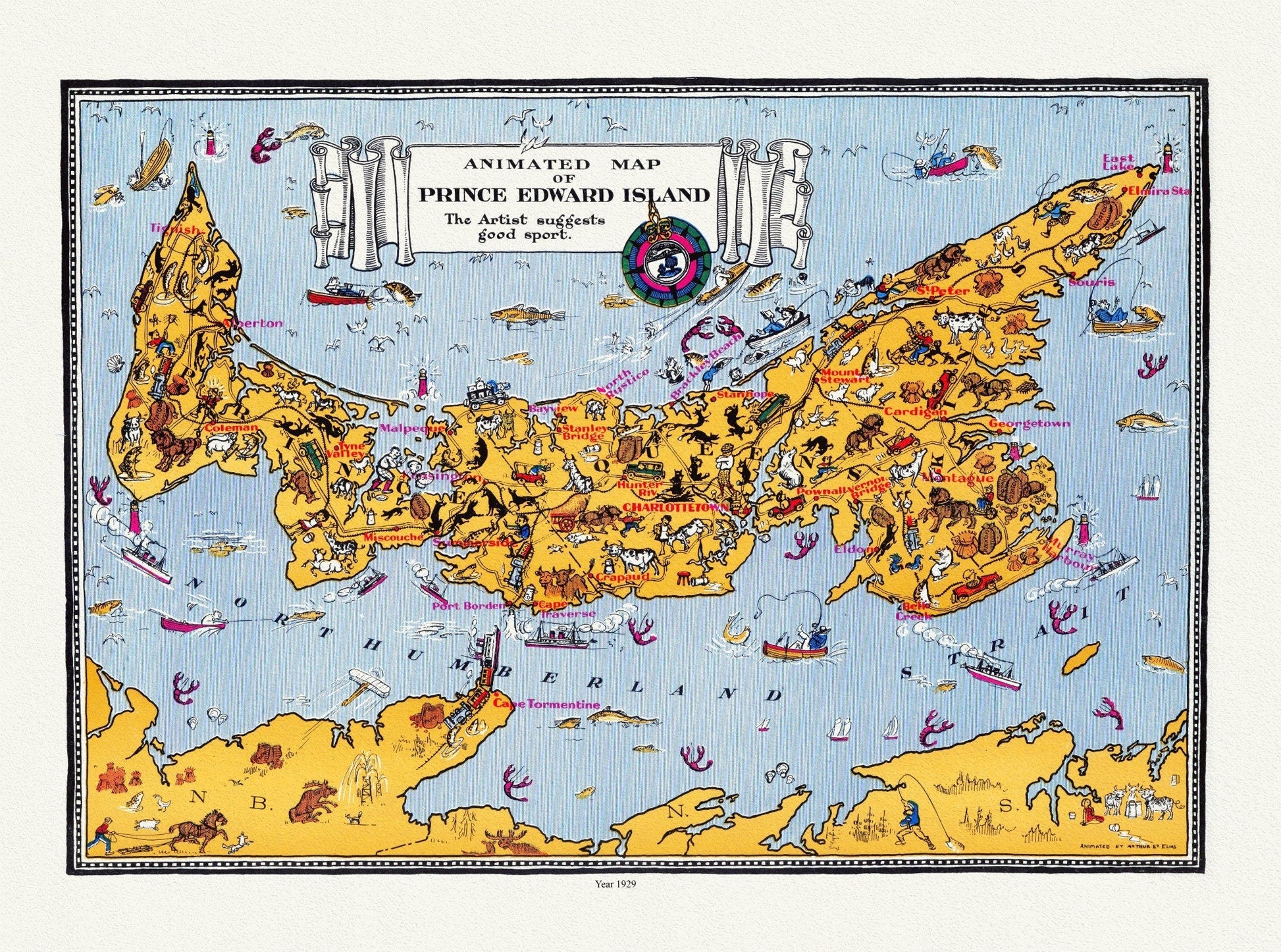
An Animated Map of Prince Edward Island, 1929, on heavy cotton canvas, 22x27" approx.
An Animated Map of Prince Edward Island, 1929, on heavy cotton canvas, 22x27" approx.
Regular price
$45.00 CAD
Regular price
Sale price
$45.00 CAD
Taxes included.
Shipping calculated at checkout.
Quantity
Couldn't load pickup availability
Share
This is an exact and highly detailed and restored copy of the original map.
Printed onto heavy cotton canvas, it can be easily rolled and presented as a gift or fascinating conversation piece
Your map has a protective coating which would allow it to be framed without heavy, glaring glass.
Frame it yourself! A rustic looking frame will enhance its appearance or just the 4 map pins provided to tack to your wall!
Are you looking for a specific locale? We have Everywhere! Just send us your inquiry.

-
Shipping
It usually takes 1 to 2 weeks to complete your map....and another 1-2 weeks for postal delivery
-
Returns
We do Accept returns in the case of Material Defects

