-
Canada: Ontario: Overall: The Story of Southern Ontario., 1963
Regular price $45.00 CADRegular price -
Canada: Ontario: Overall: Rand, McNally & Co., Province of Ontario, 1892
Regular price $45.00 CADRegular price -
Atlantic Canada: Blaue, Maritimes,1665
Regular price $45.00 CADRegular price -
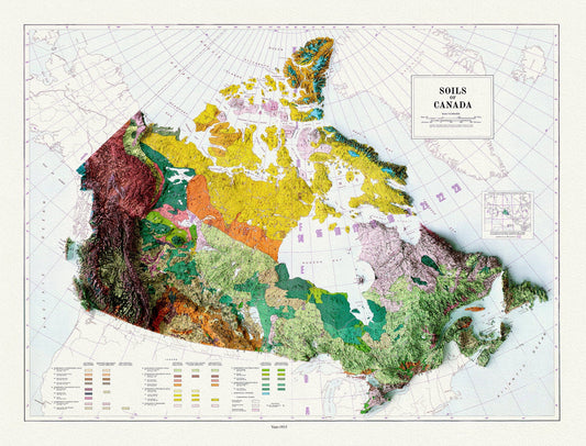
Soils of Canada, 1915 , map on heavy cotton canvas, 20 x 25" approx.
Regular price $45.00 CADRegular price -
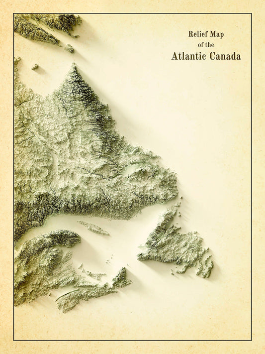
Relief Map of Atlantic Canada, 1924 Ver. IV , map on heavy cotton canvas, 50 x 70 cm, 20 x 25" approx.
Regular price $45.00 CADRegular price -
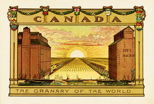
Canada, The Granary of the World
Regular price $45.00 CADRegular price -
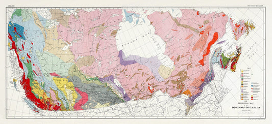
Composite Geological Map of the Dominion of Canada, Issued 1915, on heavy cotton canvas, 22x27" approx.
Regular price $45.00 CADRegular price -
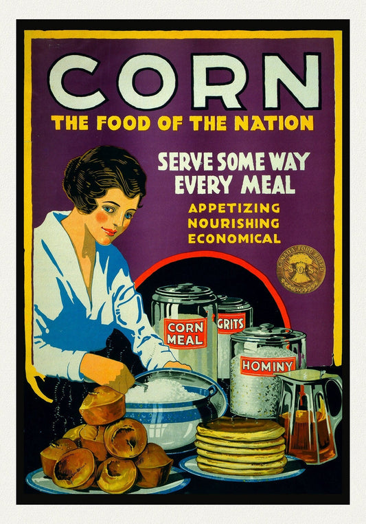
Corn. The Food of the Nation. Canada Food Board
Regular price $45.00 CADRegular price -
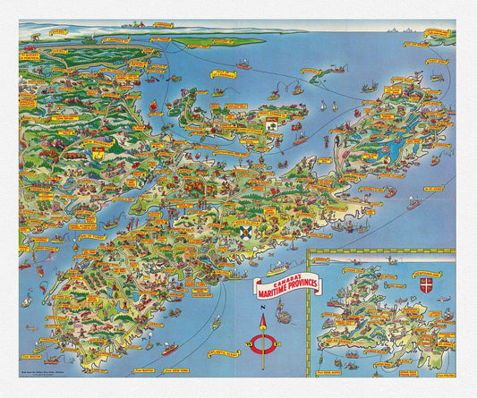
Bloodgood, A Pic-Tour Map of Canada's Maritime Provinces, 1953
Regular price $45.00 CADRegular price -
Canada: Toronto Maps: Waterfront: Complete view of Toronto harbour showing the eastern and western entrances.1910
Regular price $0.00 CADRegular price -
Canada: Toronto Maps: Waterfront: A Plan suggested by the Toronto Board of Trade for the Development of Ashbridges Bay, 1910
Regular price $55.00 CADRegular price -
Canada: Toronto Maps: Waterfront: Courtney & Hanlan, Champion Scullers, View of Toronto Bay, 1879
Regular price $45.00 CADRegular price -
Canada: Toronto Maps: Waterfront: Toronto Island, Plan of Park Improvement, 1903
Regular price $55.00 CADRegular price -
North America: Partie Occidentale du Canada ou de la Nouvelle France ou sont les Nations des Ilinois, de Tracy, les Iroquois, et plusieurs autres Peuples,1688 Nolin auth.
Regular price $45.00 CADRegular price -
Canada: Ontario: Prince Edward County: Ameliasburg, Ontario,1966 Topographical Map 19 x 32
Regular price $60.00 CADRegular price -
Canada: Ontario: Prince Edward County: Duck Island, Topographical Map, 1936 19 x 36"
Regular price $75.00 CADRegular price -
Canada: Great Lakes: Lake Erie
Regular price $45.00 CADRegular price -
Canada: Great Lakes: Lake Superior:Zatta, Zuiliani, Novelli et Pitteri-Il Paese de' Selvaggi Outauacesi, e Kilistinesi Intorno al Lago Superiore, 1778
Regular price $45.00 CADRegular price -
Canada: Great Lakes: Lake Superior: Shell Oil of Canada, Northern Ontario, 1959
Regular price $100.00 CADRegular price -
Canada: Great Lakes: Lake Superior: Northwest Ontrario, Cram et Murray auths.,1901
Regular price $45.00 CADRegular price -
Canada: Great Lakes: Lake Superior: 1983
Regular price $45.00 CADRegular price -
Canada: Great Lakes: Lake Superior: Fostes et Whitney, Carte geologique du Lac Superieur, 1849
Regular price $45.00 CADRegular price -
Canada: Great Lakes: Lake Superior: Society for the Diffusion of Useful Knowledge, Lake Superior, 1832
Regular price $45.00 CADRegular price -
Canada: Great Lakes: Lake Superior: Route of the proposed rail road from the Copper and Iron Mining District of Lake Superior to connect with rail roads built or being constructed in the state of Wisconsin, 1855
Regular price $45.00 CADRegular price