-
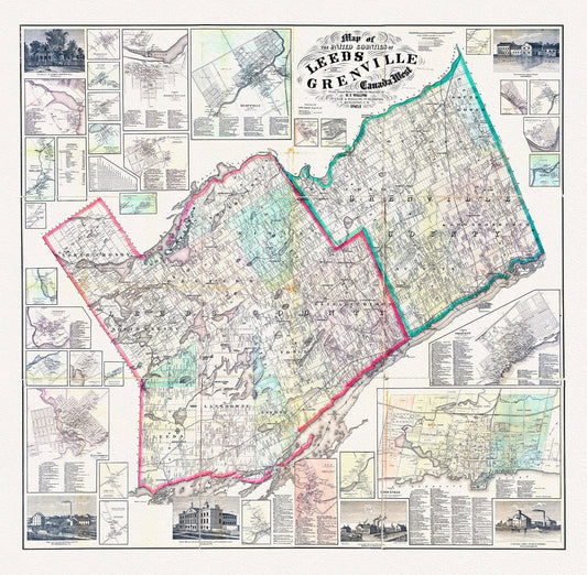
E Map of the United Counties of Leeds and Grenville, Canada West.1861, map on durable cotton canvas, 50 x 70 cm, 20 x 25" approx.
Regular price $45.00 CADRegular price -
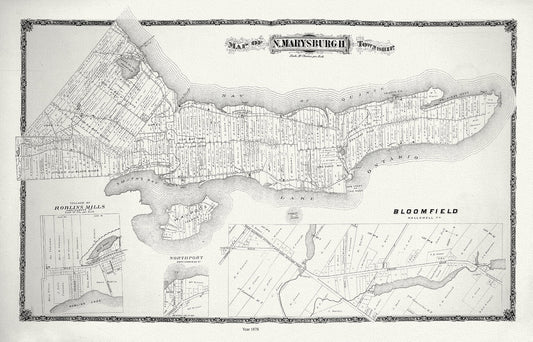
E Marysburg Township, Ontario, 1878 , map on durable cotton canvas, 50 x 70 cm, 20 x 25" approx.
Regular price $45.00 CADRegular price -
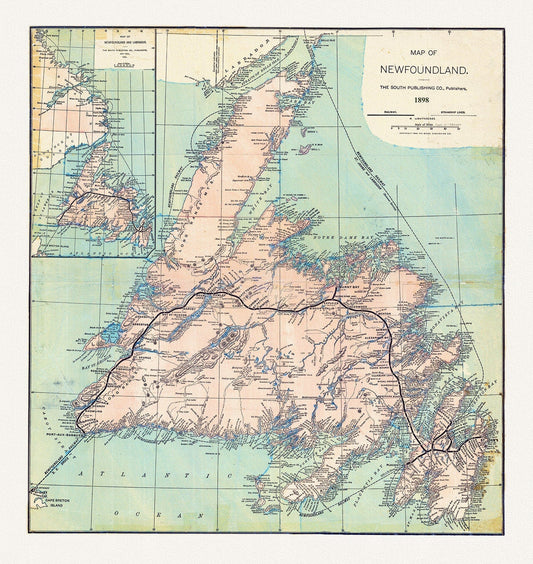
E Newfoundland, 1898 , map on heavy cotton canvas, 45 x 65 cm, 18 x 24" approx.
Regular price $45.00 CADRegular price -
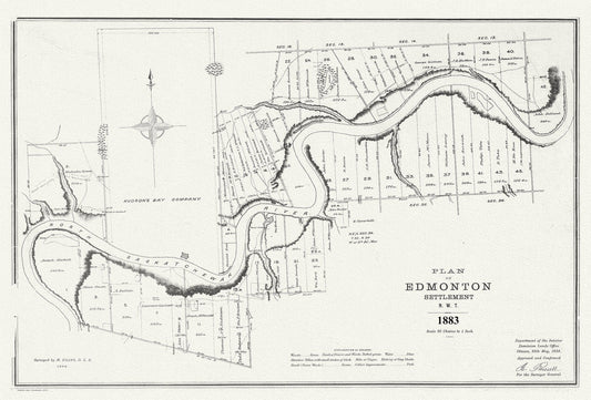
E Plan of Edmonton settlement, N.W.T., 1883, map on durable cotton canvas, 50 x 70 cm or 20x25" approx.
Regular price $45.00 CADRegular price -
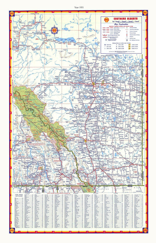
E Southern Alberta, Shell Road Map, 1951, map on durable cotton canvas, 50 x 70 cm or 20x25" approx.
Regular price $45.00 CADRegular price -
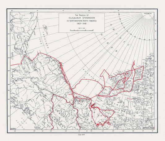
E The travels of Vilhjalmur Stefansson, 1859 , map on durable cotton canvas, 50 x 70 cm, 20 x 25" approx.
Regular price $45.00 CADRegular price -
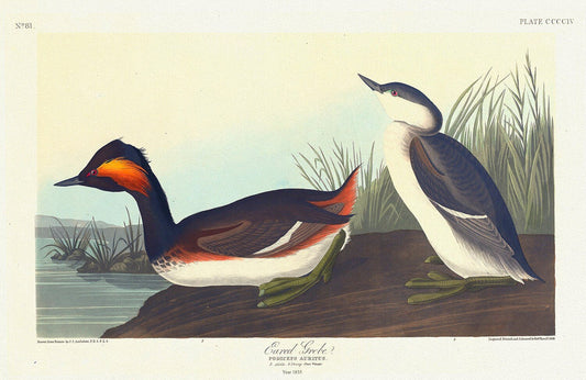
Eared grebe. Podiceps auritus. c.1 v.4 plate 404 , vintage nature print on canvas, 50 x 70 cm, 20 x 25" approx.
Regular price $45.00 CADRegular price -
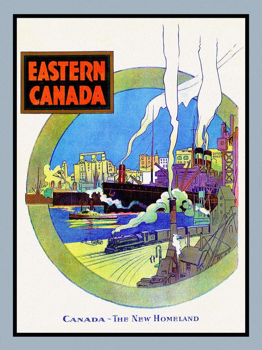

Eastern Canada, The New Homeland, travel poster on heavy cotton canvas, 50 x 70 cm, 20 x 25" approx.
Regular price $45.00 CADRegular price -
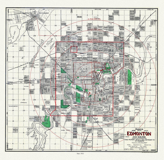
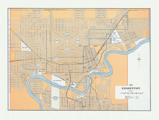
Edmonton and suburbs, 1913, Mundy auth. , map on durable cotton canvas, 50 x 70 cm or 20x25" approx.
Regular price $45.00 CADRegular price -
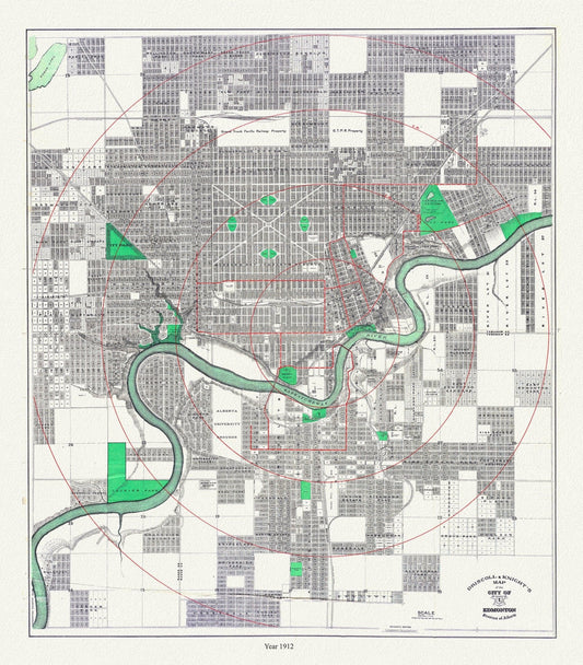
Edmonton, 1912, Driscoll & Knight auth. , map on durable cotton canvas, 50 x 70 cm or 20x25" approx.
Regular price $45.00 CADRegular price -
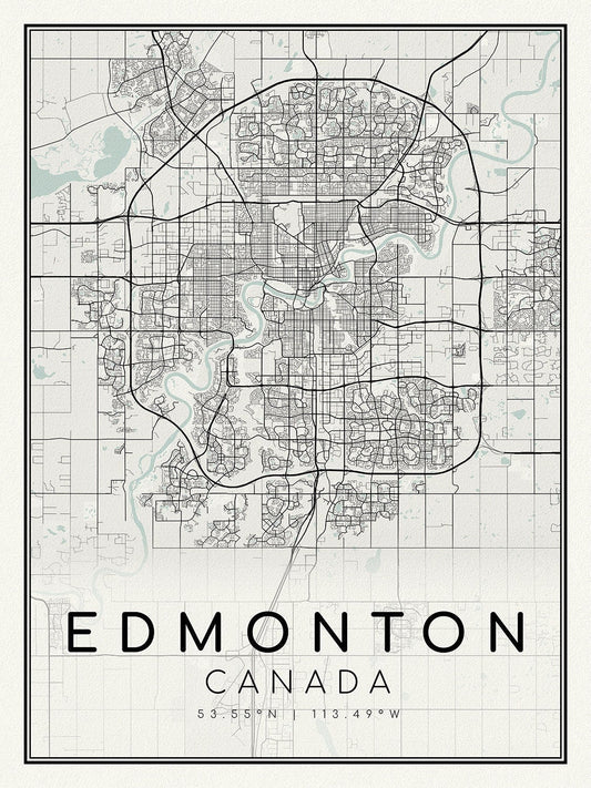
Edmonton, A Modern Map, on durable cotton canvas, 50 x 70 cm, 20 x 25" approx.
Regular price $45.00 CADRegular price -
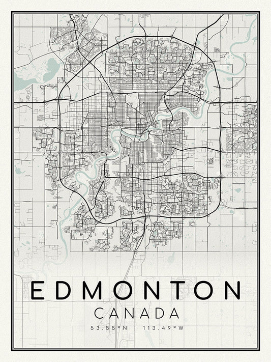
Edmonton, Alberta, A Modern Map, on heavy cotton canvas, 45 x 65 cm, 18 x 24" approx.
Regular price $45.00 CADRegular price -
Edmonton, auth. Chalifour, 1915, map on heavy cotton canvas, 20x27" approx.
Regular price $45.00 CADRegular price -
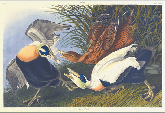
Eider duck. Fuligula mollissima. plate 246, 1836 Audobon auth., vi print on durable cotton canvas, 50 x 70 cm, 20 x 25" approx.
Regular price $45.00 CADRegular price -
Empires: Empires of the Babylonians, Lydians, Medes and Persians, 1873
Regular price $45.00 CADRegular price -
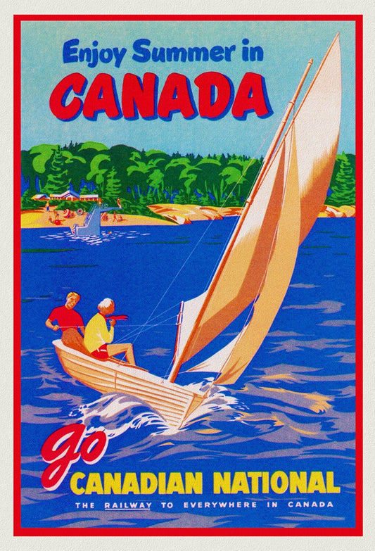
Enjoy Summer in Canada, Canadian National Railway , travel poster on heavy cotton canvas, 20x25" approx.
Regular price $45.00 CADRegular price -
Enjoy Summer in Canada, Canadian National Railway, travel poster on heavy cotton canvas, 45 x 65 cm, 18 x 24" approx.
Regular price $45.00 CADRegular price -
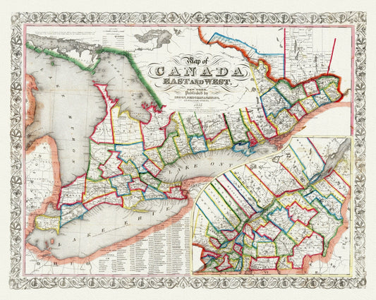
Ensign, Bridgman & Fanning, A Map of Canada East And West, 1855, map on heavy cotton canvas, 22x27" approx.
Regular price $45.00 CADRegular price -
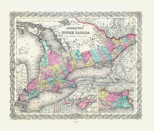
EOntario: Upper Canada. 1857
Regular price $45.00 CADRegular price -
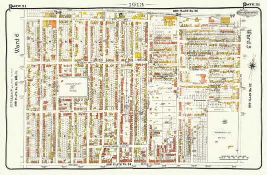
EPlate 31, Toronto West, Brockton, Bloorcourt North, 1913, map on heavy cotton canvas, 20 x 30" approx.
Regular price $45.00 CADRegular price -
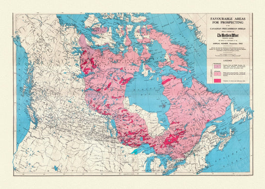
Etsy- Map of Favourable Areas for Prospecting in the Canadian Precambrian Shield, 1943, map on heavy cotton canvas, 22x27" approx.
Regular price $45.00 CADRegular price -
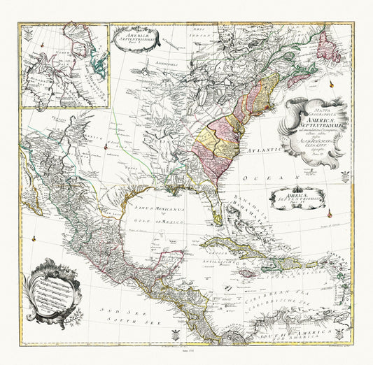
Euler, Sauerbrey et Rhode, Composite map Mappa geographica Americae Septentrionalis pars I-IV, 1753 , on heavy cotton canvas, 22x27" approx.
Regular price $45.00 CADRegular price -
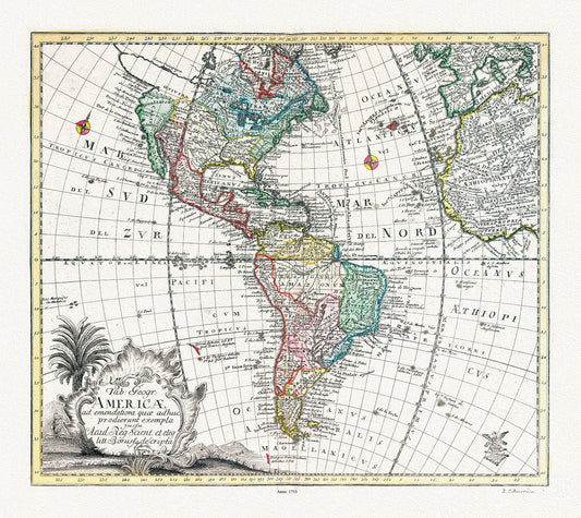
Euler, Sauerbrey et Rhode, Tabula Geographica Americae, 1753 ,Map on heavy cotton canvas, 22x27in
Regular price $45.00 CADRegular price -
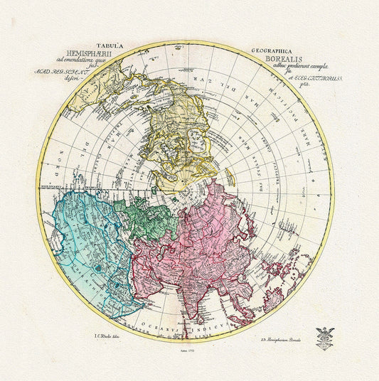
Euler, Sauerbrey et Rhode, Tabula Geographica Hemisphaerii Borealis, 1753, Map printed on to heavy cotton canvas, 22x27in. approx.
Regular price $45.00 CADRegular price