-
Canada North and West: Southern Alberta, Shell Road Map, 1951
Regular price $45.00 CADRegular price -
Canada North and West: Map of Western Alberta, formerly N.W.T., 1898
Regular price $45.00 CADRegular price -
Canada North and West: Alberta, 1948
Regular price $45.00 CADRegular price -
Canada North and West: CNR, Pictorial Map of Jasper National Park and Mount Robson Park, 1935 19 x 36"
Regular price $75.00 CADRegular price -
Canada North and West: Geological Map, Central Alberta,1934
Regular price $45.00 CADRegular price -
Canada North and West: Map of northern Alberta land districts comprising agencies of Peace River, Grande Prairie &urroundings, Edmonton showing homestead entry,1919
Regular price $45.00 CADRegular price -
Canada North and West: Map of the Province of Alberta, Canada, showing natural resources,1945
Regular price $45.00 CADRegular price -
Canada North and West: Map showing wooded and prairie tracts, etc., in part of northern Alberta ... by J.B. Tyrrell, 1884
Regular price $45.00 CADRegular price -
Canada North and West: Master et Elias, An Animated Map of Alberta, 1929a
Regular price $45.00 CADRegular price -
Canada North and West: Northern Alberta, map showing disposition of lands, 1918
Regular price $45.00 CADRegular price -
Canada North and West: Northern Alberta, map showing disposition of lands, 1918 South Sheet
Regular price $45.00 CADRegular price -
Canada North and West: Province of Alberta, Canada resources and development, 1958
Regular price $45.00 CADRegular price -
Canada North and West: Rand McNally & Company, Commercial Atlas, Alberta, 1924 V. II
Regular price $45.00 CADRegular price -
Canada North and West: Rand McNally and Company, Alberta, 1912
Regular price $45.00 CADRegular price -
Canada North and West: Recreational Map of Glacier National Park Montana, Waterton Lakes National Park, 1925
Regular price $45.00 CADRegular price -
Canada North and West: Sharbau, British North America. North-West Territory, District of Athabasca from surveys and information collected by the Rev. Emile F. S. Petitot, 1883
Regular price $45.00 CADRegular price -
Canada North and West: Wood Buffalo Park, Alberta and Northwest Territories, 1931
Regular price $0.00 CADRegular price -
Canada North, Rigobert Bonne auth., 1783, map on heavy cotton canvas, 50 x 70 cm, 20 x 25" approx.
Regular price $45.00 CADRegular price -
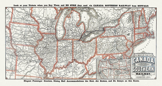
Canada Southern Railway No. 18, 1910, map on heavy cotton canvas, 50 x 70cm, 20 x 25" approx.
Regular price $45.00 CADRegular price -
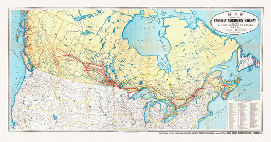
Canada Southern Railway, 1906, map on heavy cotton canvas, 22x27" approx.
Regular price $45.00 CADRegular price -
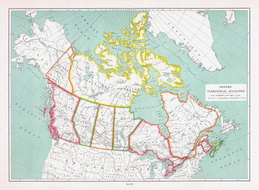
Canada territorial divisions, 1915, map on heavy cotton canvas, 22x27" approx
Regular price $45.00 CADRegular price -
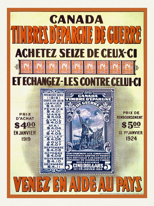
Canada Timbres d'Epargne de Guerre. Venez en aide au pays, 1918, vintage war poster on durable cotton canvas, 50 x 70 cm, 20 x 25" approx.
Regular price $45.00 CADRegular price -
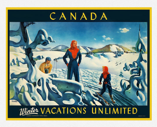
Canada Travel Poster, Winter Vacations Unlimited, poster on heavy cotton canvas, 22x27" approx.
Regular price $45.00 CADRegular price