-
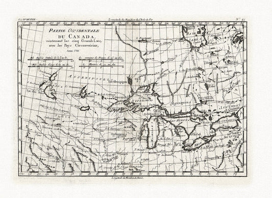
Bonne, Partie Occidentale du Canada, contenant les Cinq Grands Lacs, avec les pays circonvoisins, 1780, map on cotton canvas, 22x27" approx.
Regular price $45.00 CADRegular price -
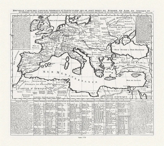
Un Nouvelle Carte des Conciles et Particuliers qui se sonr Tenus en Europe, en Asie, Afrique, 1718, on heavy cotton canvas 22x27approx.
Regular price $45.00 CADRegular price -
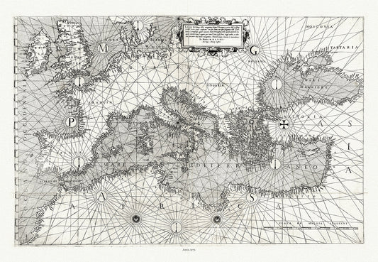
Giacomo Gastaldi, Europe & Mediterranean, 1572 , map on heavy cotton canvas, 22x27" approx.
Regular price $45.00 CADRegular price -
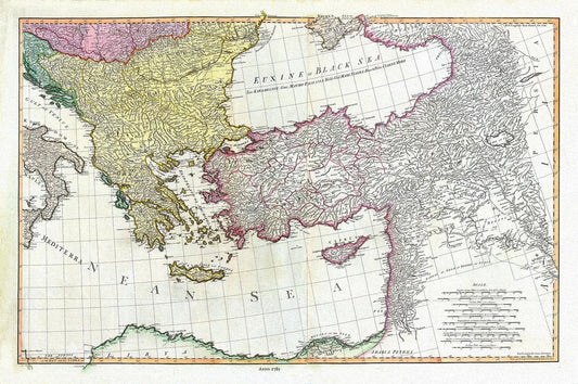
William Faden, Mediterranean Eastern Portion, 1785, map on heavy cotton canvas, 22x27" approx.
Regular price $45.00 CADRegular price -
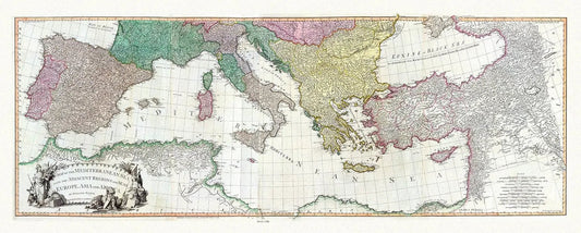
William Faden, Mediterranean, 1785, map on heavy cotton canvas, 22x27" approx.
Regular price $45.00 CADRegular price -
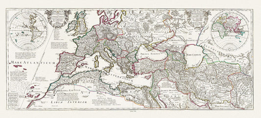
Delisle (Guillaume de,1675-1726), Theatrum historicum ad annum Christi quadringentesimu. Imperii Romani, 1705, canvas, 22x27" approx.
Regular price $45.00 CADRegular price -
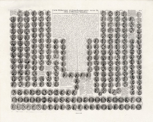
Henri Chatelain, Carte Historique et Cronologique pour servir de suite a l'Histoire Romaine, 1718, cotton canvas, 22x27" approx.
Regular price $45.00 CADRegular price