-
Polar Regions, Baffin Bay to Lincoln Sea, 1885, map on durable cotton canvas, 50 x 70 cm, 20 x 25" approx.
Regular price $45.00 CADRegular price -
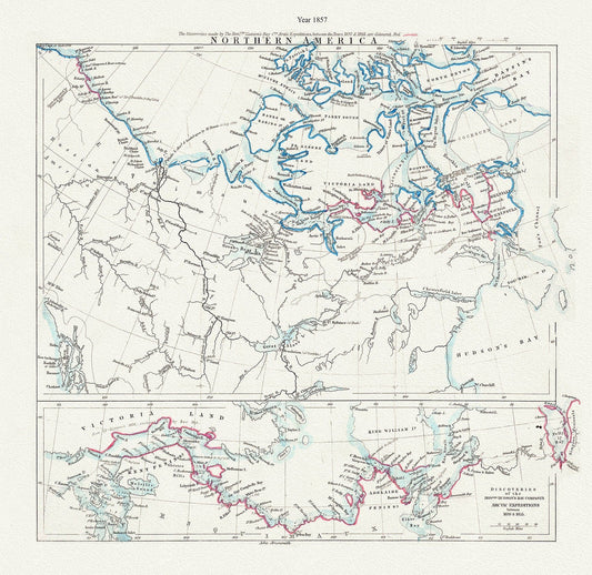
Arctic Expeditions in Northern America,1857, Arrowsmith auth., map on durable cotton canvas, 50 x 70 cm, 20 x 25" approx.
Regular price $45.00 CADRegular price -
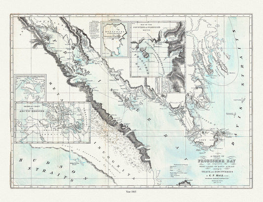
Frobisher Bay, Chart 1865, Hall, map on durable cotton canvas, 50 x 70 cm, 20 x 25" approx.
Regular price $45.00 CADRegular price -
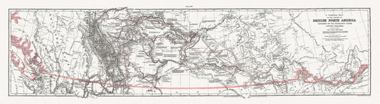
General Map of the Routes in North America Explored by Captain Palliser, during the years 1857, 1858, 1859,& 1860 ' on canvas 18 x 24" about
Regular price $45.00 CADRegular price -
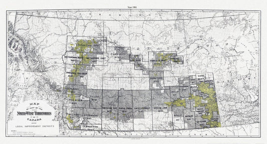
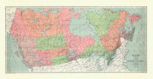
A Map of part of the North-West Territories of Canada, showing local improvement districts, 1901
Regular price $45.00 CADRegular price -
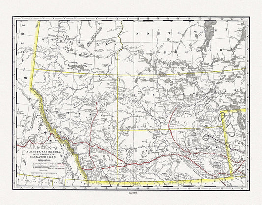
Alberta, Assiniboia, Athabasca & Saskatchewan, North West Territories, 1898 , map on heavy cotton canvas, 45 x 65 cm, 18 x 24" approx.
Regular price $45.00 CADRegular price -
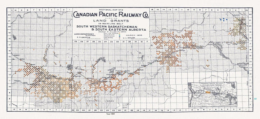
Canadian Pacific Railway Co. shewing Land Grants in Mainline Belt, South Western Saskatchewan & South Eastern Alberta, 1909, 14 x 36" approx
Regular price $50.00 CADRegular price -
Canadian Pacific Railway Co. shewing Land Grants in Mainline Belt, South Western Saskatchewan & South Eastern Alberta, 1909, 14x36"
Regular price $50.00 CADRegular price -
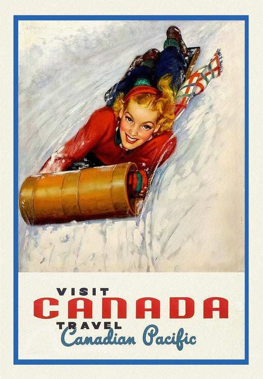
Canadian Pacific, Visit Canada, Ver. XVII, travel poster on heavy cotton canvas, 50 x 70 cm, 20 x 25" approx.
Regular price $45.00 CADRegular price -
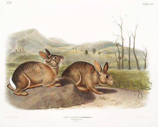
J.J. Audobon, Bachman's Hare (Lepus Bachmani) from the viviparous quadrupeds of North America (1845) , print , 50 x 70 cm, 20 x 25" approx.
Regular price $45.00 CADRegular price -
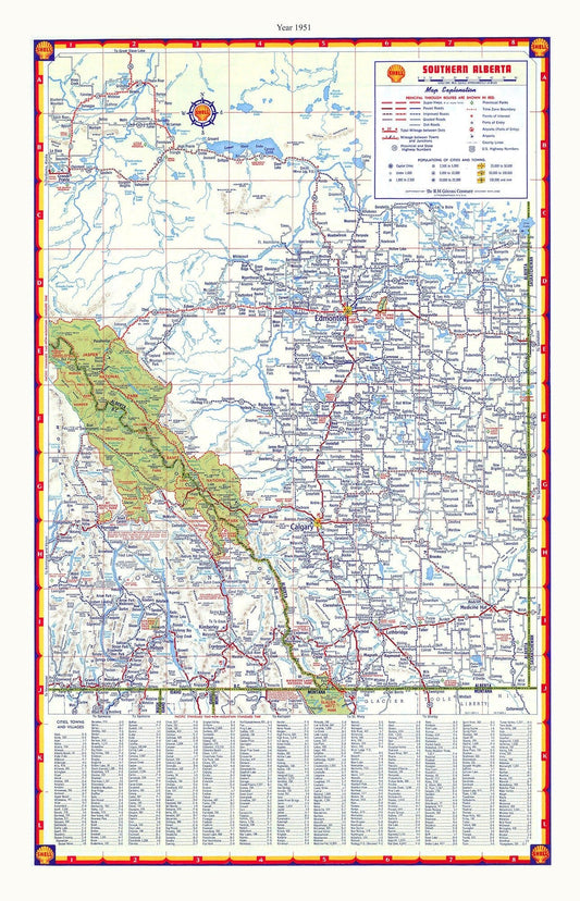
Southern Alberta, Shell Road Map, 1951, map on durable cotton canvas, 50 x 70 cm, 20 x 25" approx.
Regular price $45.00 CADRegular price -
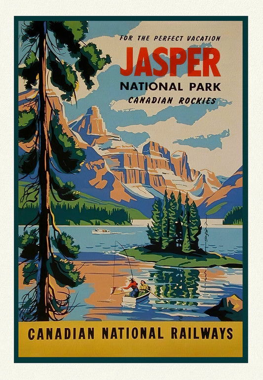
Jasper National Park, Canadian National Railways, Travel Poster on heavy cotton canvas, 22x27" approx.
Regular price $45.00 CADRegular price -
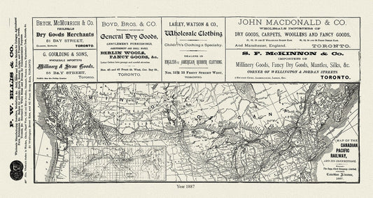
Map of the Canadian Pacific Railway, and its connections, 1887 , map on heavy cotton canvas, 50 x 70cm, 20 x 25" approx.
Regular price $45.00 CADRegular price -
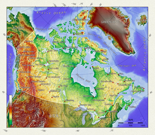
Topographical Map of Canada, on heavy cotton canvas, 20 x 25" approx.
Regular price $45.00 CADRegular price -
Andree et London Times, British North America, 1900 , map on heavy cotton canvas, 20 x 25" approx.
Regular price $45.00 CADRegular price -
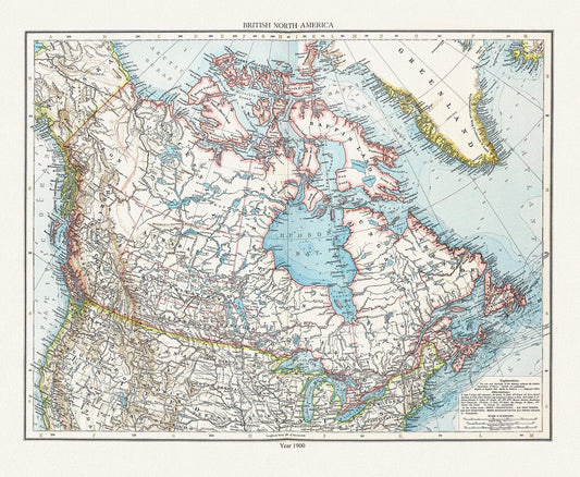
Map of the Dominion of Canada, 1900, on heavy cotton canvas, 20 x 25" approx.
Regular price $45.00 CADRegular price -
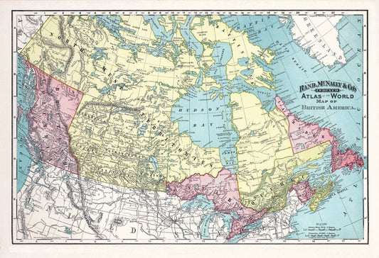
Rand, McNally & Co., British America (Canada), 1892, , map on heavy cotton canvas, 20 x 25" approx.
Regular price $45.00 CADRegular price -
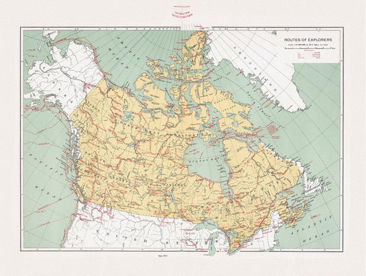
Canada, Routes of explorers, Chalifour (auth.), 1915, map on heavy cotton canvas, 20 x 25" approx.
Regular price $45.00 CADRegular price -
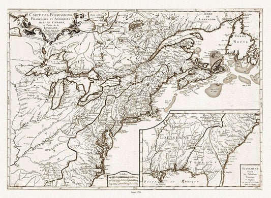
Longchamps et Thevenard, Carte des possessions françoises et angloises , et partie de la Louisiane, 1756 Ver. D, on canvas, 20x25"
Regular price $45.00 CADRegular price -
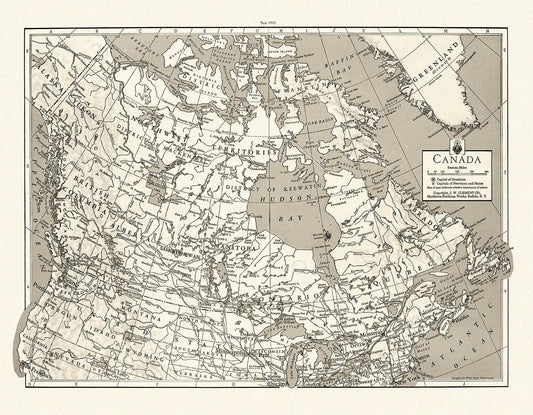
J.W. Clement Co., Canada, 1943 Ver. BWMWS70, map on heavy cotton canvas, 20 x 25" approx.
Regular price $45.00 CADRegular price -
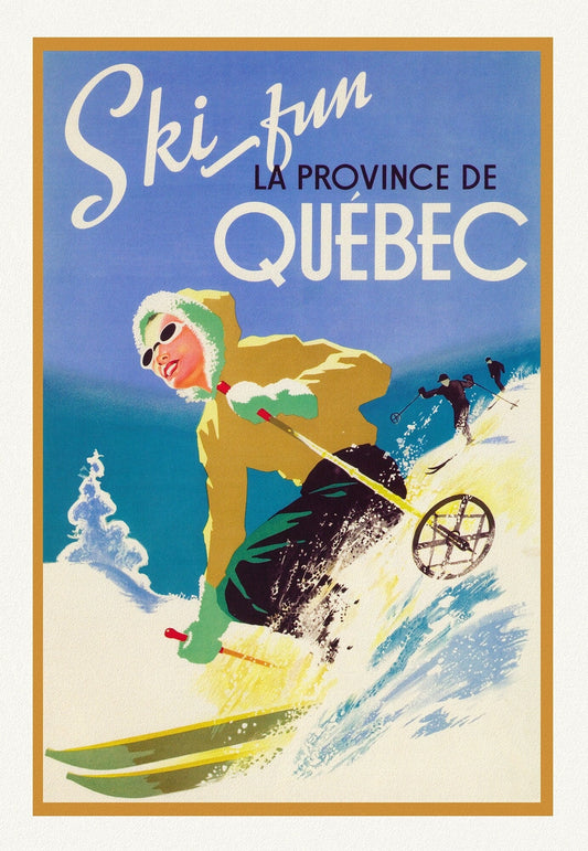
Ski Quebec , travel poster on heavy cotton canvas, 20x25" approx.
Regular price $45.00 CADRegular price -
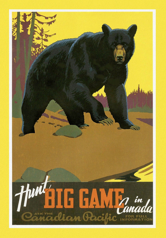
Canadian Pacific, Hunt Big Game in Canada, c. 1962 , travel poster on heavy cotton canvas, 22x27" approx.
Regular price $45.00 CADRegular price -
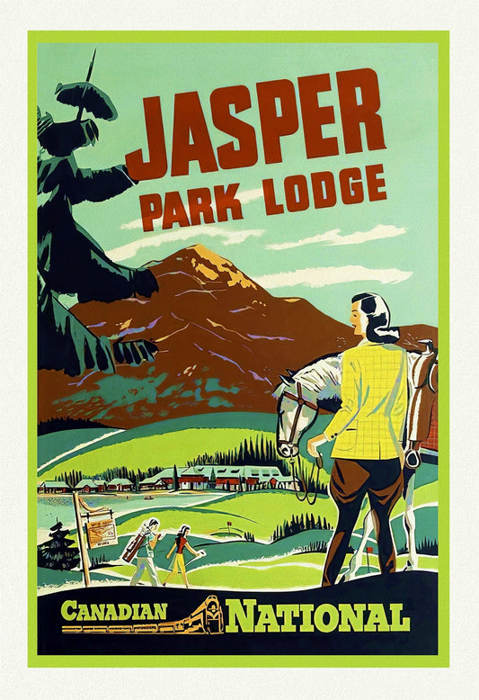
Canadian National Railways, Jasper Park Lodge, Travel Poster on heavy cotton canvas, 22x27" approx.
Regular price $45.00 CADRegular price -
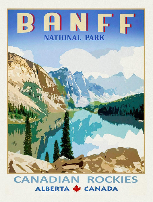
Banf Canadian Rockies, Alberta , vintage poster on heavy cotton canvas, 20x25" approx.
Regular price $45.00 CADRegular price