-
Canada: Quebec: St. Lawrence River Valley: Bouchette & Wyld, A Topographical Map of the Districts of Quebec, Three Rivers, Gaspe,1831
Regular price $45.00 CADRegular price -
Canada: Quebec: St. Lawrence River Valley: Bouchette, Map of Lower Canada shewing the proposed land agencies and the townships distinct from the seigniories, 1857
Regular price $45.00 CADRegular price -
Canada: Quebec: St. Lawrence River Valley: Jefferys, A new chart of the river St. Laurence, from the island of Anticosti to the falls of Richelieu With all the islands, rocks, shoals, and soundings,1760 19 44"
Regular price $120.00 CADRegular price -
Canada: Quebec: St. Lawrence River Valley: Jefferys, An Exact Chart of the River St. Laurence, 1775
Regular price $45.00 CADRegular price -
Canada: Quebec: St. Lawrence River Valley: Kitchin, A new map of the province of Quebec in North America, 1763
Regular price $45.00 CADRegular price -
Canada: Quebec: St. Lawrence River Valley: Maclear, Map of Canada east or lower Canada, 1850
Regular price $45.00 CADRegular price -
Canada: Quebec: St. Lawrence River Valley: Rimouski, Quebec, A Modern Map
Regular price $45.00 CADRegular price -
Canada: Quebec: St. Lawrence River Valley: St. Lawrence Seaway Canada
Regular price $0.00 CADRegular price -
Canada: Toronto Maps: Waterfront: A Plan suggested by the Toronto Board of Trade for the Development of Ashbridges Bay, 1910
Regular price $55.00 CADRegular price -
Canada: Toronto Maps: Waterfront: Complete view of Toronto harbour showing the eastern and western entrances.1910
Regular price $0.00 CADRegular price -
Canada: Toronto Maps: Waterfront: Toronto Island, Plan of Park Improvement, 1903
Regular price $55.00 CADRegular price -
Canada: Toronto Maps: Waterfront: Courtney & Hanlan, Champion Scullers, View of Toronto Bay, 1879
Regular price $45.00 CADRegular price -
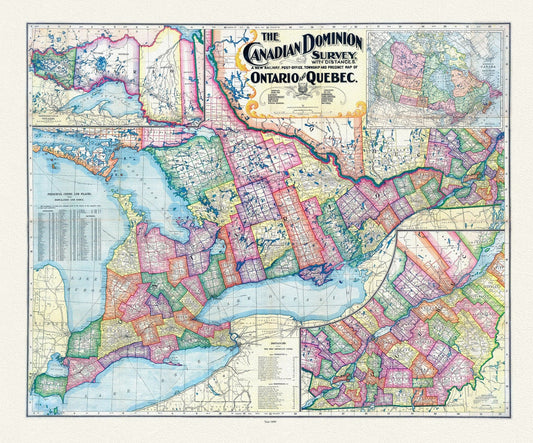
Canadian Dominion Survey, A New Railway, Post-Office, Township and Precinct Map Of Ontario and Quebec, 1899, on heavy cotton canvas, 22x27"
Regular price $45.00 CADRegular price -
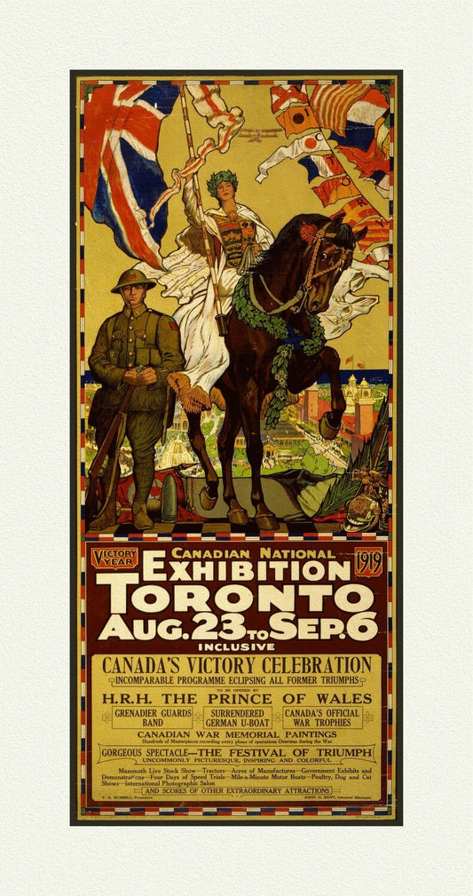
Canadian National Exhibition, 1919, Poster on Heavy Cotton Canvas, approx. 27x18"
Regular price $45.00 CADRegular price -
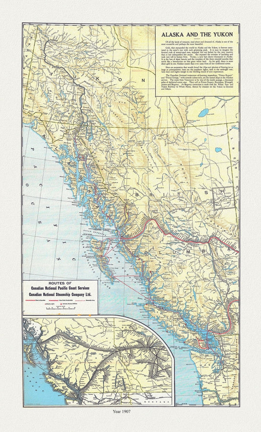
Canadian National Railway, Alaska and the Yukon, 1907, map on durable cotton canvas, 50 x 70 cm, 20 x 25" approx.
Regular price $45.00 CADRegular price -
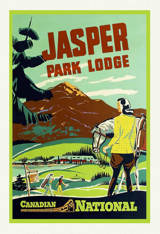
Canadian National Railways, Jasper Park Lodge, Travel Poster on heavy cotton canvas, 22x27" approx.
Regular price $45.00 CADRegular price -
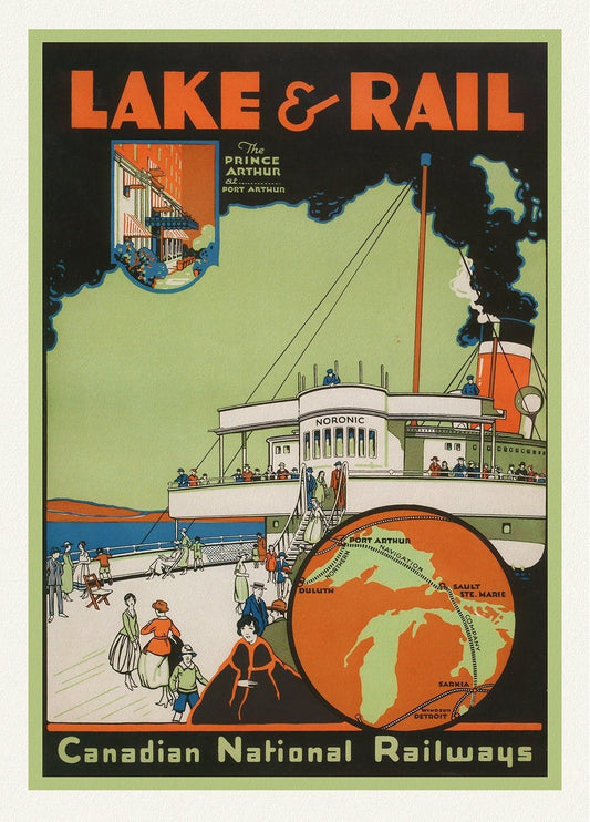
Canadian National Railways, Lake & Rail, 1927, travel poster on heavy cotton canvas, 50 x 70 cm, 20 x 25" approx.
Regular price $45.00 CADRegular price -
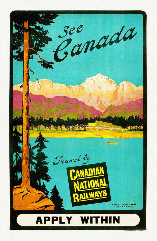
Canadian National Railways, See Canada, Jasper Park Lodge, c.1950 , travel poster on heavy cotton canvas, 22x27" approx.
Regular price $45.00 CADRegular price -
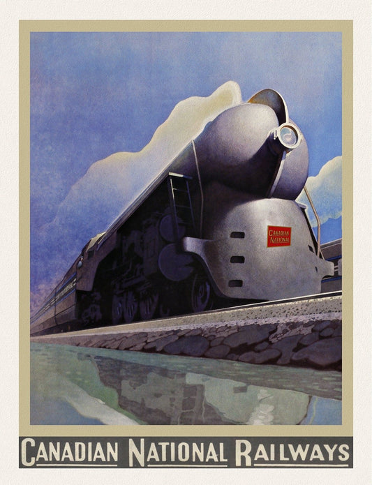
Canadian National, travel poster on heavy cotton canvas, 50 x 70 cm, 20 x 25" approx.
Regular price $45.00 CADRegular price -
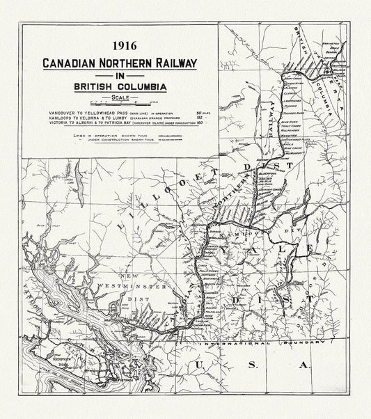
Canadian Northern Railway in British Columbia, 1916 , map on heavy cotton canvas, 50 x 70cm, 20 x 25" approx.
Regular price $45.00 CADRegular price -
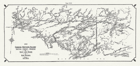
Canadian Northern Railway Quetico forest reserve and Rainy Lake region of New Ontario, 1919 , map on canvas, 50 x 70 cm, 20 x 25" approx.
Regular price $45.00 CADRegular price -
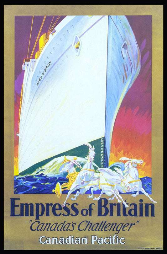
Canadian Pacific , Empress of Britain Ver. II , travel poster reprinted on durable cotton canvas, 50 x 70 cm, 20 x 25" approx.
Regular price $45.00 CADRegular price -
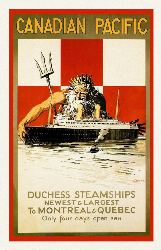
Canadian Pacific ,Duchess Steamships to Montreal & Quebec, 1929
Regular price $45.00 CADRegular price -
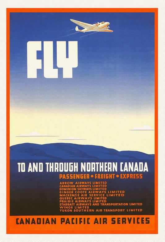
Canadian Pacific Air Service, 1942, travel poster on heavy cotton canvas, 50 x 70 cm, 20 x 25" approx.
Regular price $45.00 CADRegular price