-
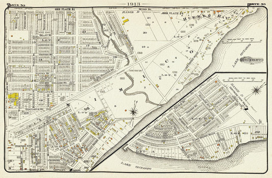
Plate 83, Toronto West, South Etobicoke South, Mimico, 1913, map on heavy cotton canvas, 20 x 30" or 50 x 75cm. approx.
Regular price $45.00 CADRegular price -
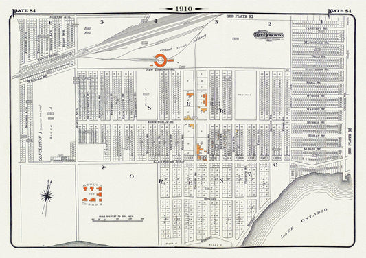
Plate 84, Toronto West, New Toronto, 1910, map on heavy cotton canvas, 20 x 30" approx.
Regular price $45.00 CADRegular price -
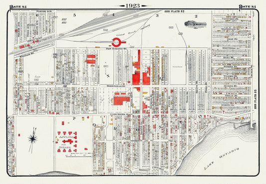
Plate 84, Toronto West, New Toronto, 1923, Map on heavy cotton canvas, 18x27in. approx.
Regular price $45.00 CADRegular price -
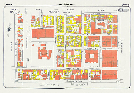
Plate 9, Toronto Downtown, City Hall, St. John's Ward, 1910 , map on heavy cotton canvas, 20 x 30" approx.
Regular price $45.00 CADRegular price -
Polar Regions, Baffin Bay to Lincoln Sea, 1885, map on durable cotton canvas, 50 x 70 cm, 20 x 25" approx.
Regular price $45.00 CADRegular price -
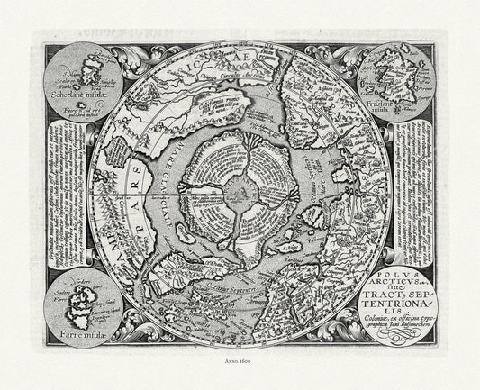
Polus Arcticus, 1600, ,map on heavy cotton canvas, 22x27" approx.
Regular price $45.00 CADRegular price -
Portions of New Westminster District and Vancouver Island, 1912 , map on heavy cotton canvas, 50 x 70cm, 20 x 25" approx.
Regular price $45.00 CADRegular price -
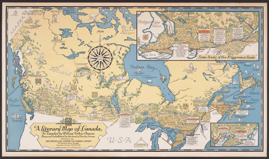
Poster Map Print on heavy Canvas, A Literary Map of Canada,1936, 22x27" approx.
Regular price $45.00 CADRegular price -
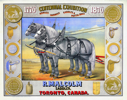
Poster, Centennial Exhibition, R. Malcolm, Sadler, Toronto, 1876
Regular price $45.00 CADRegular price -
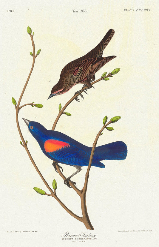
Prairie starling. Icterus gubernator, Aud. c.1 v.4 plate 420, vintage nature print on canvas, 50 x 70 cm, 20 x 25" approx.
Regular price $45.00 CADRegular price -
Price, Map showing the direct commercial route from the Atlantic via L. Ontario, to the province of Upper Canada, Mississippi, 1836, 18x27"
Regular price $45.00 CADRegular price -
Prince Edward County, 1863, Tremaine auth., 1863, map on heavy cotton canvas, 50 x 70cm, 20 x 25" approx.
Regular price $45.00 CADRegular price -
Prince Edward County, Ameliasburgh planning area, 1968, map on heavy cotton canvas, 45 x 65 cm, 18 x 24" approx.
Regular price $45.00 CADRegular price -
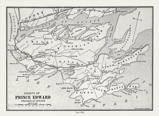
Prince Edward County, Ontario, Gage's county atlas, 1886, map on durable cotton canvas, 50 x 70 cm, 20 x 25" approx.
Regular price $45.00 CADRegular price -
Prince Rupert Harbour, 1909 Ver. II, map on heavy cotton canvas, 50 x 70cm, 20 x 25" approx.
Regular price $45.00 CADRegular price -
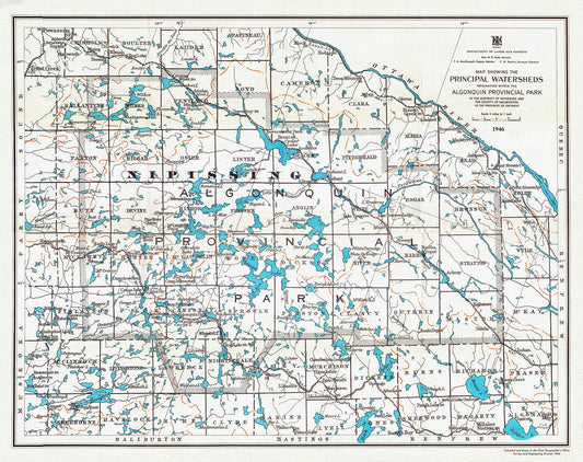
Principal Watersheds Originating within the Algonquin Provincial Park, 1946, map on heavy cotton canvas, 22x27" approx.
Regular price $45.00 CADRegular price -
Province of Alberta, Canada resources and development, 1958 , map on heavy cotton canvas, 22x27" approx.
Regular price $45.00 CADRegular price -
Province of British Columbia, 1893 , map on heavy cotton canvas, 45 x 65 cm, 18 x 24" approx.
Regular price $45.00 CADRegular price -
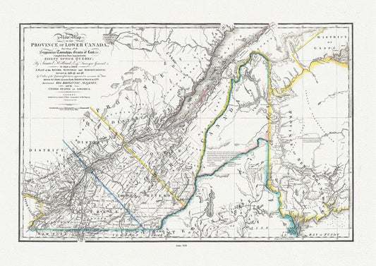
Province Of Lower Canada, 1838 , map on durable cotton canvas, 50 x 70 cm, 20 x 25" approx.
Regular price $45.00 CADRegular price -
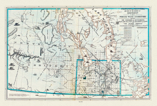
Province of Manitoba District of Keewatin, 1878, , map on heavy cotton canvas, 22x27" approx.
Regular price $45.00 CADRegular price -
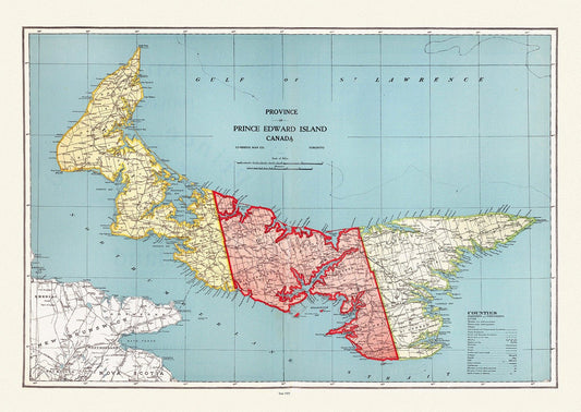
Province of Prince Edward Island, Canada, 1925, vintage map reprinted on durable cotton canvas, 50 x 70 cm or 20x25" approx.
Regular price $45.00 CADRegular price -
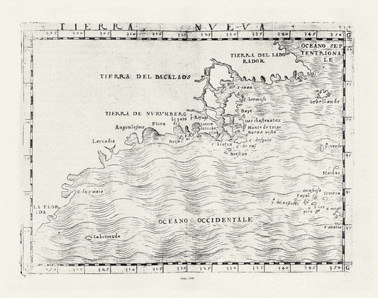
Ptolemy, Gastaldi et Mattioli, Tierra Nueva, 1548 , map on heavy cotton canvas, 22x27" approx.
Regular price $45.00 CADRegular price -
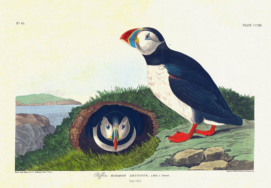
Puffin. Mormon arcticus. plate 213, 1836 Audobon auth. , vintage print on durable cotton canvas, 50 x 70 cm, 20 x 25" approx.
Regular price $45.00 CADRegular price -
Purdie, Newfoundland, 1814
Regular price $45.00 CADRegular price